2000s (21st Century) Maps of Mount Ida, Wisconsin
Explore 20 historic maps of Mount Ida from the 2000s (21st Century). These maps offer a rare glimpse into what life looked like during the 2000s — showing old roads, neighborhoods, homes, and landmarks that have changed or disappeared over time.
Whether you're researching your family's past, planning a metal detecting trip, or studying how Mount Ida's landscape evolved across the 2000s, these high-resolution maps are a powerful tool for exploring the history of this region.
- Focus on a specific era: All maps on this page are from the 2000s, giving you a focused view of this time period.
- See what’s changed: Compare century-old streets, trails, and buildings to today's modern landscape using overlays and satellite layers.
- Research with precision: Use these maps for genealogy, historical research, land use analysis, or educational projects.
- View, download, or print: Maps are fully viewable online in high resolution, and can be downloaded or printed for your own records.
Start exploring Mount Ida's history through authentic maps from the 2000s. This is your window into the past.
Mount Ida, WI maps
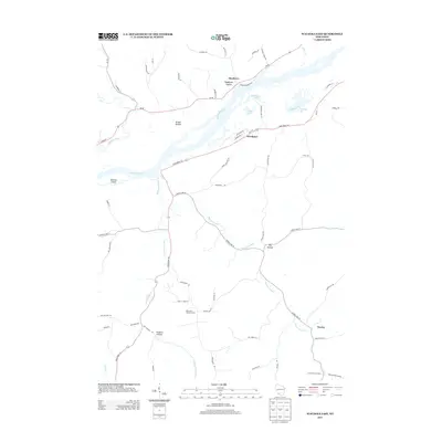
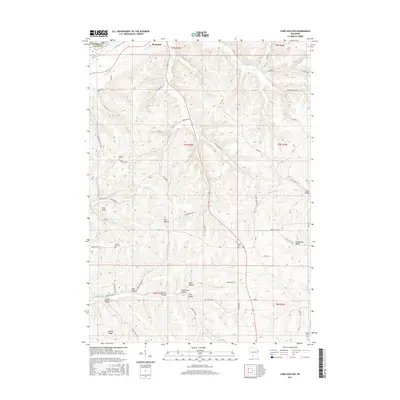
(20)- 2010 Map of Long Hollow, 2010 Print
 2010 Long Hollow2010 Print · USGSCovers Mount Ida, including Boscobel, Hickory Grove, and other nearby areas
 - 2010 Map of Fennimore, 2010 Print
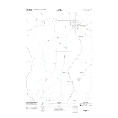
 2010 Fennimore2010 Print · USGSCovers Mount Ida, including Fennimore, North Lancaster, and other nearby areas
 - 2010 Map of Mount Hope, 2010 Print
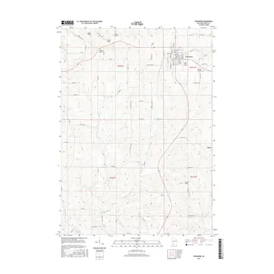
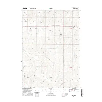
 2010 Mount Hope2010 Print · USGSCovers Mount Ida, including Mount Hope, Little Grant, and other nearby areas
 - 2010 Map of Wauzeka East, 2010 Print
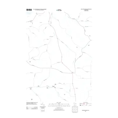
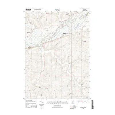
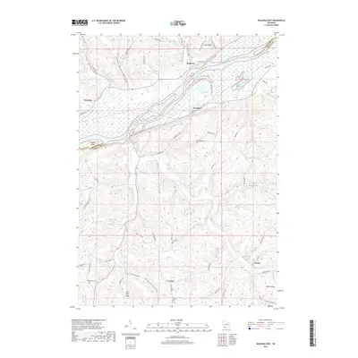
 2010 Wauzeka East2010 Print · USGSCovers Mount Ida, including Wauzeka, Woodman, and other nearby areas
 - 2013 Map of Wauzeka East, 2013 Print
 2013 Wauzeka East2013 Print · USGSCovers Mount Ida, including Wauzeka, Woodman, and other nearby areas
 - 2013 Map of Long Hollow, 2013 Print
 2013 Long Hollow2013 Print · USGSCovers Mount Ida, including Boscobel, Hickory Grove, and other nearby areas
 - 2013 Map of Mount Hope, 2013 Print
 2013 Mount Hope2013 Print · USGSCovers Mount Ida, including Mount Hope, Little Grant, and other nearby areas
 - 2013 Map of Fennimore, 2013 Print
 2013 Fennimore2013 Print · USGSCovers Mount Ida, including Fennimore, North Lancaster, and other nearby areas
 - 2016 Map of Fennimore, 2016 Print
 2016 Fennimore2016 Print · USGSCovers Mount Ida, including Fennimore, North Lancaster, and other nearby areas
 - 2016 Map of Mount Hope, 2016 Print
 2016 Mount Hope2016 Print · USGSCovers Mount Ida, including Mount Hope, Little Grant, and other nearby areas
 - 2016 Map of Wauzeka East, 2016 Print
 2016 Wauzeka East2016 Print · USGSCovers Mount Ida, including Wauzeka, Woodman, and other nearby areas
 - 2016 Map of Long Hollow, 2016 Print
 2016 Long Hollow2016 Print · USGSCovers Mount Ida, including Boscobel, Hickory Grove, and other nearby areas
 - 2018 Map of Wauzeka East, 2018 Print
 2018 Wauzeka East2018 Print · USGSCovers Mount Ida, including Wauzeka, Woodman, and other nearby areas
 - 2018 Map of Long Hollow, 2018 Print
 2018 Long Hollow2018 Print · USGSCovers Mount Ida, including Boscobel, Hickory Grove, and other nearby areas
 - 2018 Map of Mount Hope, 2018 Print
 2018 Mount Hope2018 Print · USGSCovers Mount Ida, including Mount Hope, Little Grant, and other nearby areas
 - 2018 Map of Fennimore, 2018 Print
 2018 Fennimore2018 Print · USGSCovers Mount Ida, including Fennimore, North Lancaster, and other nearby areas
 - 2022 Map of Mount Hope, 2022 Print
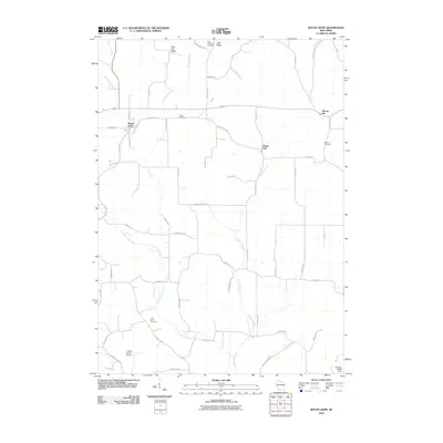
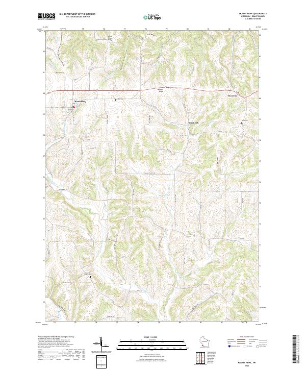 2022 Mount Hope2022 Print · USGSGrant County's high ridges and river valleys are documented here in the early 2020s, centered on the settlement of Mount Hope. Researchers can locate historic family burial sites at Borah Cem and Casler Cem or trace the course of the Little Green River.
 - 2022 Map of Long Hollow, 2022 Print
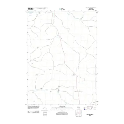
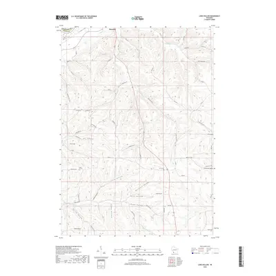
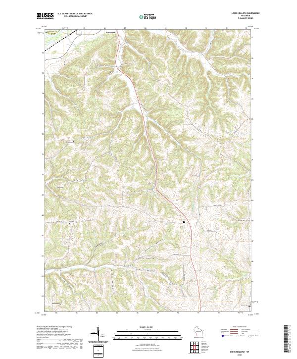 2022 Long Hollow2022 Print · USGSThe driftless area of Grant County is revealed here in the early twenty-first century, showcasing a landscape of deep valleys and family-named ridges. Genealogists can locate several rural burial grounds, including Brechler Cem and Crown Hill Cem, while following old routes like Dry Hollow Rd.
 - 2022 Map of Fennimore, 2022 Print
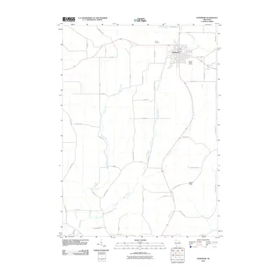
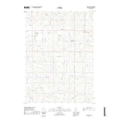
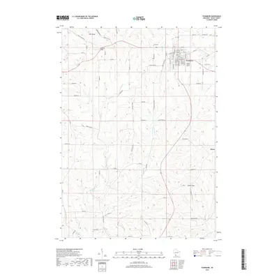
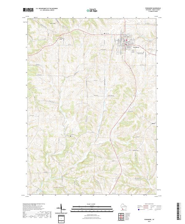 2022 Fennimore2022 Print · USGSThe driftless uplands of Grant County appear here in the early twenty-first century, centered on the growing city of Fennimore. Family researchers can locate Prairie Cem, trace the Grant River headwaters, or find the small community of Stitzer.
 - 2022 Map of Wauzeka East, 2022 Print
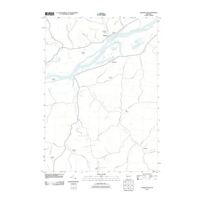
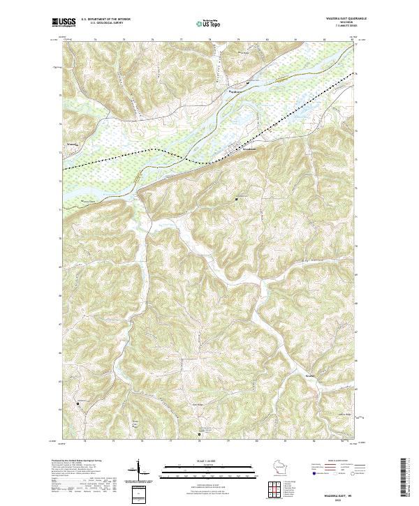 2022 Wauzeka East2022 Print · USGSThe confluence of the Kickapoo River and Wisconsin River defines this landscape in the early 2020s. Researchers can locate family sites at Rosendale Cem or trace the old paths through Boydtown Hollow and Foxboro Hollow.
End of results
Showing maps 1-20 of 20
Top cities near Mount Ida
- Lancaster historical maps
- Boscobel historical maps
- Fennimore historical maps
- Seneca historical maps
- Wauzeka historical maps
- Beetown historical maps
See more
Top neighborhoods of Mount Ida
Frequently asked questions
- What are the different types of historical maps available for Mount Ida?
- What is the oldest map of Mount Ida?
- Where can I purchase historical maps of Mount Ida for my home or office?
- Where can I download high-res historical maps of Mount Ida?
- Are there historical topographic maps available for Mount Ida?
- Is there historical aerial imagery available for Mount Ida?
- Where are historical maps of Mount Ida sourced from?