Old Maps of Green County, Wisconsin for Genealogy
Trace your family roots with 110 historic maps of Green County. These high-res maps reveal old neighborhoods, homesites, landmarks, and streets — helping you uncover where your ancestors lived and how the area evolved over time.
- Explore historic neighborhoods: Identify where your relatives may have lived in the 1800s or 1900s.
- Compare maps over time: Trace the changes in streets, buildings, and landmarks for multi-generational research.
- Perfect for genealogy & ancestry research: Used by family historians and researchers to map out lineage and migration.
These maps are an incredible resource for exploring your personal connection to Green County's past.
Green County, WI maps
(110)- 1889 Map of Evansville
 1889 Evansville1889 Print · USGSSouthern Wisconsin at the end of the nineteenth century was a landscape of growing rail towns and post offices scattered across glacial drumlins. Genealogists can trace family roots through the early plats of Evansville, Oregon, and the Lake View Post Office.
 - 1893 Map of Brodhead
 1893 Brodhead1893 Print · USGSSouthern Wisconsin is captured in the late nineteenth century as rail lines and river valleys shaped the landscape. Genealogists and historians can trace early village sites like Brodhead, Magnolia Station, and Orford along the Chicago Milwaukee and Saint Paul Railroad.5 unique versions available
 - 1894 Map of Evansville
 1894 Evansville1894 Print · USGSSouthern Wisconsin at the end of the nineteenth century was a landscape of expanding rail lines and productive prairie farms. Genealogists and local historians can trace early settlements like Oak Hall, the lakeside community of Lakeview, and the winding course of the Sugar River.2 unique versions available
 - 1906 Map of Evansville
 1906 Evansville1906 Print · USGSWisconsin's southern prairie and wetlands are mapped here in the early twentieth century as the railroad transformed rural trade. Trace the iron paths of the C. and N. W. R. R. through Evansville and Oregon, or find local landmarks like Red Bridge Crossing and Liberty Pole Hill.3 unique versions available
 - 1920 Map of Monroe, 1960 Print
 1920 Monroe1960 Print · USGSGreen County at the start of the twenties was a landscape of thriving rail towns and dozens of country schoolhouses. Genealogists can trace family footprints near named sites like Hardscrabble School, the County Farm, or along the Sugar River valley.
 - 1922 Map of Monroe
 1922 Monroe1922 Print · USGSGreen County at the start of the twenties reveals a landscape of thriving rural school districts and busy rail lines. Genealogists can locate family-named landmarks like Hardscrabble School, the County Farm, and the early village of Juda.
 - 1923 Map of Blanchardville
 1923 Blanchardville1923 Print · USGSThe Driftless Area of southwest Wisconsin comes alive in the early 1920s, showing a landscape defined by the Pecatonica River and early rail lines. Genealogists can locate dozens of rural landmarks, from the York Churches to schools like Lukken School and Arneson School.2 unique versions available
 - 1923 Map of New Glarus
 1923 New Glarus1923 Print · USGSGreen and Dane counties are captured here in the early 1920s, showing a region of family farms and emerging rail corridors. Genealogists can trace specific local landmarks like Primrose Churches, the County Farm, and dozens of rural schools including Hanna School.2 unique versions available
 - 1923 Map of South Wayne
 1923 South Wayne1923 Print · USGSSouthern Wisconsin and northern Illinois are shown in the early twenties as a landscape of interconnected river valleys and rail lines. Genealogists can trace dozens of country schoolhouses and churches, including Apple Grove Church, Reed School, and the community at South Wayne.3 unique versions available
 - 1954 Map of Rockford
 1954 Rockford1954 Print · USGSThe Rock River valley and the Illinois-Wisconsin borderlands are captured here in the mid-1950s during a period of robust industrial and agricultural activity. Genealogists and historians can trace rail-era corridors like the Illinois Central RR and locate landmarks from Big Foot Prairie to Lake Geneva.
 - 1955 Map of Rockford
 1955 Rockford1955 Print · USGSThe Rock River valley and southern Wisconsin dairy country are shown here in the mid-fifties as the region's manufacturing centers grew. Genealogists and historians can trace the paths of the Chicago and North Western RR and Illinois Central RR through hubs like Rockford and Beloit.
 - 1958 Map of Rockford, 1974 Print
 1958 Rockford1974 Print · USGSNorthern Illinois and southern Wisconsin are shown here in the mid-twentieth century as rail-dependent industrial towns began to interface with growing lakefront communities. Genealogists can trace family roots through settlements like Saylesville and Tess Corners or locate historical landmarks like the Rockford Ordnance Depot.4 unique versions available
 - 1961 Map of Evansville, 1963 Print
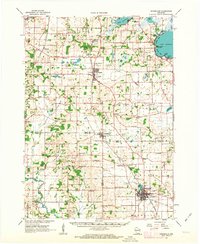 1961 Evansville1963 Print · USGSThe rural landscape between Madison and Janesville is captured here in the early sixties, showing a robust agricultural economy and well-defined town centers. Genealogists can trace family footprints at Franklin Sch, St Marys Cem, and the crossroads at Butts Corners.2 unique versions available
 - 1961 Map of Evansville, 1964 Print
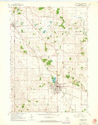 1961 Evansville1964 Print · USGSThe Rock County countryside comes alive in the early sixties, centered on the growing community of Evansville. Genealogists and historians can trace the paths between rural settlements like Brooklyn and Union while locating family sites at Graves Cem or Maple Hill Cemetery.3 unique versions available
 - 1961 Map of Attica, 1964 Print
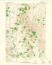 1961 Attica1964 Print · USGSSouthern Wisconsin farmland at the start of the sixties is defined by the winding Sugar River and the rural townships of Brooklyn and Albany. Genealogists and local historians can trace family sites at Jug Prairie Cem, Oak Grove Sch, and the Peace Ch.2 unique versions available
 - 1962 Map of Brodhead West, 1964 Print
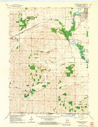 1962 Brodhead West1964 Print · USGSBrodhead and the Sugar River valley are shown in the early 1960s as the regional rail and river network supported a busy agricultural landscape. Researchers can locate vanished landmarks like Poplar Grove Sch, trace the Chicago Milwaukee St Paul and Pacific rail line, and find family names at Clarence Cem or Oakley.3 unique versions available
 - 1962 Map of Juda, 1964 Print
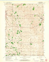 1962 Juda1964 Print · USGSThe Wisconsin-Illinois borderlands come to life in this early 1960s survey, detailing the rural landscape around Juda and Twin Grove. Genealogists and historians can trace family locations near several rural landmarks including Fairfield Cemetery, Fairfield Church, and the winding Richland Creek.3 unique versions available
 - 1962 Map of New Glarus, 1964 Print
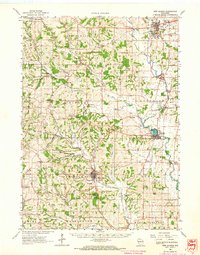 1962 New Glarus1964 Print · USGSSouthern Wisconsin's driftless terrain and Swiss-settled valleys are captured here in the early sixties, showing the rural character of Green and Dane Counties. Researchers can trace family history through sites like East Blue Mounds Church, Oak Hill Cem, and the Andrew Henry School.2 unique versions available
 - 1962 Map of Monroe NW, 1964 Print
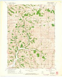 1962 Monroe NW1964 Print · USGSGreen County farming life in the early sixties centers on a network of rural schools and family cemeteries. Genealogists can trace local heritage through the Washington Ch, Behken Cem, and numerous schoolhouses like Buckskin Sch.2 unique versions available
 - 1962 Map of Monticello, 1964 Print
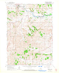 1962 Monticello1964 Print · USGSGreen County’s river valleys and rail junctions are frozen in time during the early sixties, centered on the village of Monticello. Researchers can trace the paths of the Illinois Central railroad through small stops like Stearns or locate family markers in Highland Cem.3 unique versions available
 - 1962 Map of Blanchardville, 1964 Print
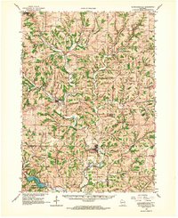 1962 Blanchardville1964 Print · USGSSouthern Wisconsin's rolling uplands and river valleys are captured here in the early sixties, showing the vital rail-and-river connection at Blanchardville. Researchers can trace rural life through dozens of local landmarks like the Moscow Center School, Yellowstone Church, and the newly created Yellowstone Lake.
 - 1962 Map of Browntown, 1964 Print
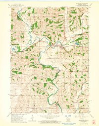 1962 Browntown1964 Print · USGSThe Pecatonica River valley at the Wisconsin-Illinois border is shown here in the early sixties, defined by its riverside rail towns. Researchers can trace local heritage through sites like Martintown, La Due Cem, and the Lattice Bridge.2 unique versions available
 - 1962 Map of Brodhead East, 1964 Print
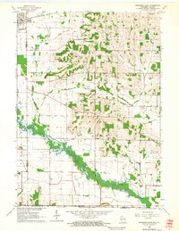 1962 Brodhead East1964 Print · USGSSouthern Wisconsin dairy country and the Rock County borderlands come to life in this early 1960s survey. Researchers can trace the path of the Chicago Milwaukee St Paul and Pacific railroad or locate local landmarks like Barr Sch and Greenwood Cemetery.2 unique versions available
 - 1962 Map of Albany, 1964 Print
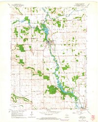 1962 Albany1964 Print · USGSGreen County's river-and-rail landscape is captured here in the early 1960s, showing the vital connection between the Sugar River and the local economy. Genealogists can locate family landmarks like Hillcrest Cem, Smiley Sch, and Moores Cem.2 unique versions available
 - 1962 Map of Argyle, 1964 Print
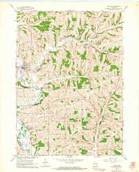 1962 Argyle1964 Print · USGSSouthwestern Wisconsin farmland and river valleys are captured here during the early sixties, centered on the winding East Branch Pecatonica River. Genealogists and researchers can trace the Illinois Central Railroad through Woodford and locate rural landmarks like St Francis Ch and Jockey Hollow.
Showing maps 1-25 of 110
Top cities of Green County
- Monroe historical maps
- Brodhead historical maps
- New Glarus historical maps
- Exeter historical maps
- Monticello historical maps
- Albany historical maps
See more
Frequently asked questions
- What are the different types of historical maps available for Green County?
- What is the oldest map of Green County?
- Where can I purchase historical maps of Green County for my home or office?
- Where can I download high-res historical maps of Green County?
- Are there historical topographic maps available for Green County?
- Is there historical aerial imagery available for Green County?
- Where are historical maps of Green County sourced from?