2000s (21st Century) Maps of Sylvester, Wisconsin
Explore 20 historic maps of Sylvester from the 2000s (21st Century). These maps offer a rare glimpse into what life looked like during the 2000s — showing old roads, neighborhoods, homes, and landmarks that have changed or disappeared over time.
Whether you're researching your family's past, planning a metal detecting trip, or studying how Sylvester's landscape evolved across the 2000s, these high-resolution maps are a powerful tool for exploring the history of this region.
- Focus on a specific era: All maps on this page are from the 2000s, giving you a focused view of this time period.
- See what’s changed: Compare century-old streets, trails, and buildings to today's modern landscape using overlays and satellite layers.
- Research with precision: Use these maps for genealogy, historical research, land use analysis, or educational projects.
- View, download, or print: Maps are fully viewable online in high resolution, and can be downloaded or printed for your own records.
Start exploring Sylvester's history through authentic maps from the 2000s. This is your window into the past.
Sylvester, WI maps
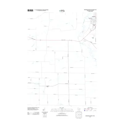
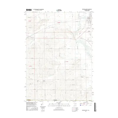
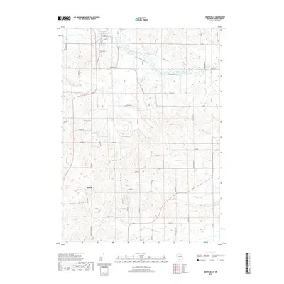
(20)- 2010 Map of Albany, 2010 Print
 2010 Albany2010 Print · USGSCovers Sylvester, including Brodhead, Albany, and other nearby areas
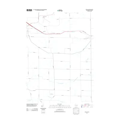
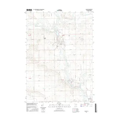
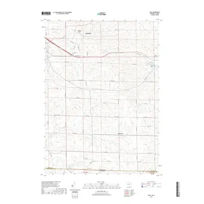
 - 2010 Map of Juda, 2010 Print
 2010 Juda2010 Print · USGSCovers Sylvester, including Monroe, Clarno, and other nearby areas
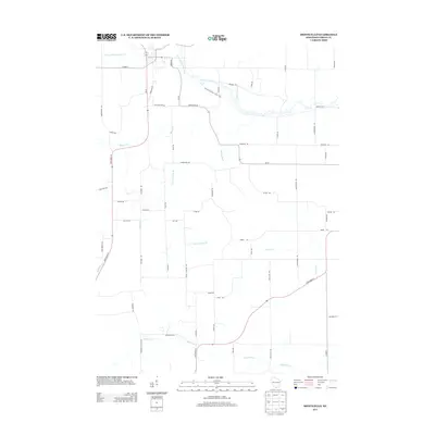
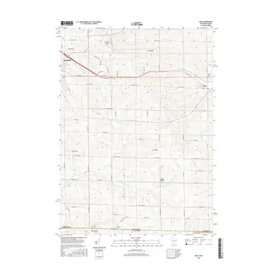
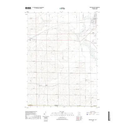
 - 2010 Map of Brodhead West, 2010 Print
 2010 Brodhead West2010 Print · USGSCovers Sylvester, including Brodhead, Spring Grove, and other nearby areas
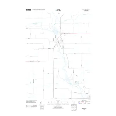
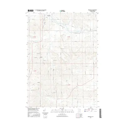
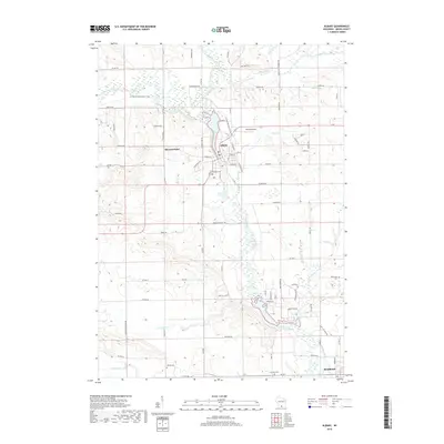
 - 2010 Map of Monticello, 2010 Print
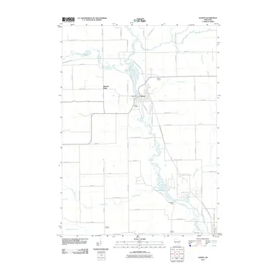
 2010 Monticello2010 Print · USGSCovers Sylvester, including Monticello, Monroe, and other nearby areas
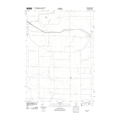
 - 2013 Map of Brodhead West, 2013 Print
 2013 Brodhead West2013 Print · USGSCovers Sylvester, including Brodhead, Spring Grove, and other nearby areas
 - 2013 Map of Juda, 2013 Print
 2013 Juda2013 Print · USGSCovers Sylvester, including Monroe, Clarno, and other nearby areas
 - 2013 Map of Monticello, 2013 Print
 2013 Monticello2013 Print · USGSCovers Sylvester, including Monticello, Monroe, and other nearby areas
 - 2013 Map of Albany, 2013 Print
 2013 Albany2013 Print · USGSCovers Sylvester, including Brodhead, Albany, and other nearby areas
 - 2016 Map of Monticello, 2016 Print
 2016 Monticello2016 Print · USGSCovers Sylvester, including Monticello, Monroe, and other nearby areas
 - 2016 Map of Brodhead West, 2016 Print
 2016 Brodhead West2016 Print · USGSCovers Sylvester, including Brodhead, Spring Grove, and other nearby areas
 - 2016 Map of Albany, 2016 Print
 2016 Albany2016 Print · USGSCovers Sylvester, including Brodhead, Albany, and other nearby areas
 - 2016 Map of Juda, 2016 Print
 2016 Juda2016 Print · USGSCovers Sylvester, including Monroe, Clarno, and other nearby areas
 - 2018 Map of Monticello, 2018 Print
 2018 Monticello2018 Print · USGSCovers Sylvester, including Monticello, Monroe, and other nearby areas
 - 2018 Map of Juda, 2018 Print
 2018 Juda2018 Print · USGSCovers Sylvester, including Monroe, Clarno, and other nearby areas
 - 2018 Map of Albany, 2018 Print
 2018 Albany2018 Print · USGSCovers Sylvester, including Brodhead, Albany, and other nearby areas
 - 2018 Map of Brodhead West, 2018 Print
 2018 Brodhead West2018 Print · USGSCovers Sylvester, including Brodhead, Spring Grove, and other nearby areas
 - 2022 Map of Monticello, 2022 Print
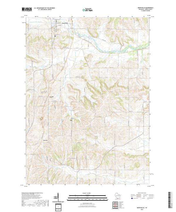 2022 Monticello2022 Print · USGSMonticello and the surrounding Green County farmlands are captured here in the early twenty-first century as the landscape balances agriculture with modern conservation. Trace the historic corridor of the Badger State Trl or locate rural landmarks like Schultz, Stearns, and the Dutch Hollow Cem.
 - 2022 Map of Albany, 2022 Print
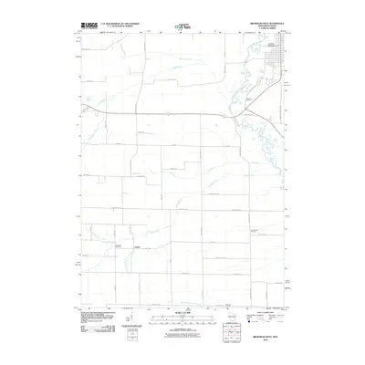
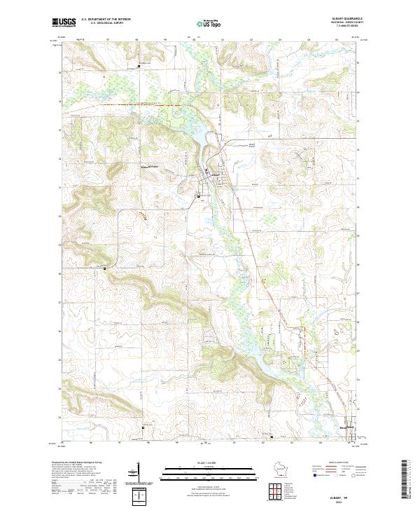 2022 Albany2022 Print · USGSGreen County's river valleys and trail systems are preserved in this recent survey of the Albany area. Local researchers can locate several historical burial grounds like Hillcrest Cem and Norwegian Cem alongside the winding Sugar River.
 - 2022 Map of Juda, 2022 Print
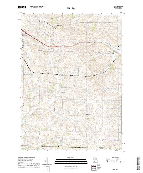 2022 Juda2022 Print · USGSThe rolling dairy country of Green County meets the Illinois border in this contemporary survey. Local researchers can locate Juda and Twin Grove, or find family names at Mount Vernon Cem and Greenwood Cem.
 - 2022 Map of Brodhead West, 2022 Print
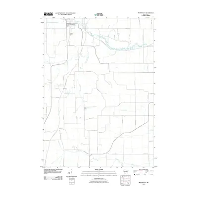
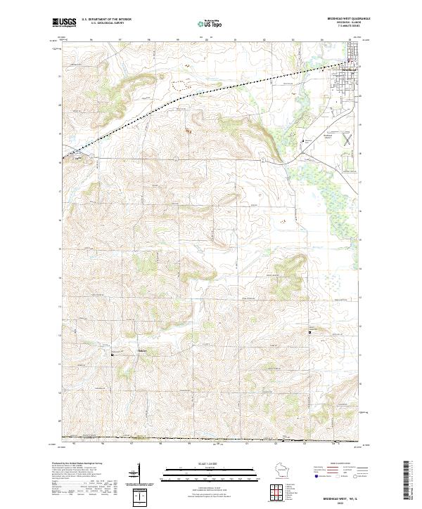 2022 Brodhead West2022 Print · USGSGreen County, Wisconsin, is documented here in the early twenty-first century as a landscape of established farmsteads and quiet rural villages. Genealogists can trace family names and local landmarks through Mount Hope Cemetery, the village of Juda, and the settlement of Oakley.
End of results
Showing maps 1-20 of 20
Top cities near Sylvester
- Monroe historical maps
- Evansville historical maps
- Brodhead historical maps
- Belleville historical maps
- New Glarus historical maps
- Union historical maps
See more
Frequently asked questions
- What are the different types of historical maps available for Sylvester?
- What is the oldest map of Sylvester?
- Where can I purchase historical maps of Sylvester for my home or office?
- Where can I download high-res historical maps of Sylvester?
- Are there historical topographic maps available for Sylvester?
- Is there historical aerial imagery available for Sylvester?
- Where are historical maps of Sylvester sourced from?