Old Maps of Washington, Wisconsin for Genealogy
Trace your family roots with 34 historic maps of Washington. These high-res maps reveal old neighborhoods, homesites, landmarks, and streets — helping you uncover where your ancestors lived and how the area evolved over time.
- Explore historic neighborhoods: Identify where your relatives may have lived in the 1800s or 1900s.
- Compare maps over time: Trace the changes in streets, buildings, and landmarks for multi-generational research.
- Perfect for genealogy & ancestry research: Used by family historians and researchers to map out lineage and migration.
These maps are an incredible resource for exploring your personal connection to Washington's past.
Washington, WI maps
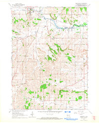
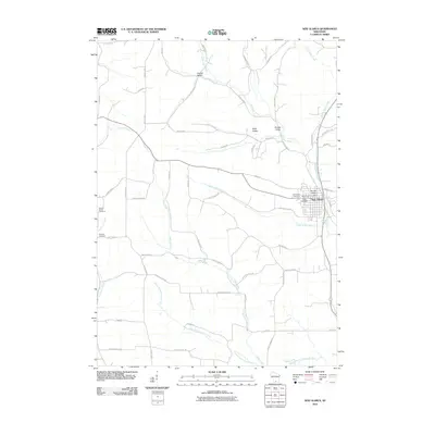
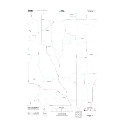
(34)- 1920 Map of Monroe, 1960 Print
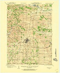 1920 Monroe1960 Print · USGSGreen County at the start of the twenties was a landscape of thriving rail towns and dozens of country schoolhouses. Genealogists can trace family footprints near named sites like Hardscrabble School, the County Farm, or along the Sugar River valley.
 - 1922 Map of Monroe
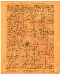 1922 Monroe1922 Print · USGSGreen County at the start of the twenties reveals a landscape of thriving rural school districts and busy rail lines. Genealogists can locate family-named landmarks like Hardscrabble School, the County Farm, and the early village of Juda.
 - 1923 Map of New Glarus
 1923 New Glarus1923 Print · USGSGreen and Dane counties are captured here in the early 1920s, showing a region of family farms and emerging rail corridors. Genealogists can trace specific local landmarks like Primrose Churches, the County Farm, and dozens of rural schools including Hanna School.2 unique versions available
 - 1954 Map of Rockford
 1954 Rockford1954 Print · USGSThe Rock River valley and the Illinois-Wisconsin borderlands are captured here in the mid-1950s during a period of robust industrial and agricultural activity. Genealogists and historians can trace rail-era corridors like the Illinois Central RR and locate landmarks from Big Foot Prairie to Lake Geneva.
 - 1955 Map of Rockford
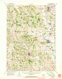
 1955 Rockford1955 Print · USGSThe Rock River valley and southern Wisconsin dairy country are shown here in the mid-fifties as the region's manufacturing centers grew. Genealogists and historians can trace the paths of the Chicago and North Western RR and Illinois Central RR through hubs like Rockford and Beloit.
 - 1958 Map of Rockford, 1974 Print
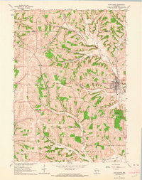
 1958 Rockford1974 Print · USGSNorthern Illinois and southern Wisconsin are shown here in the mid-twentieth century as rail-dependent industrial towns began to interface with growing lakefront communities. Genealogists can trace family roots through settlements like Saylesville and Tess Corners or locate historical landmarks like the Rockford Ordnance Depot.4 unique versions available
 - 1962 Map of New Glarus, 1964 Print
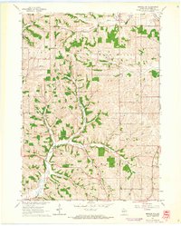
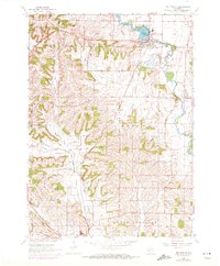
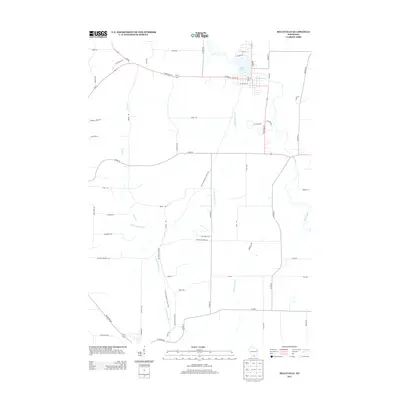
 1962 New Glarus1964 Print · USGSSouthern Wisconsin's driftless terrain and Swiss-settled valleys are captured here in the early sixties, showing the rural character of Green and Dane Counties. Researchers can trace family history through sites like East Blue Mounds Church, Oak Hill Cem, and the Andrew Henry School.2 unique versions available
 - 1962 Map of Monroe NW, 1964 Print
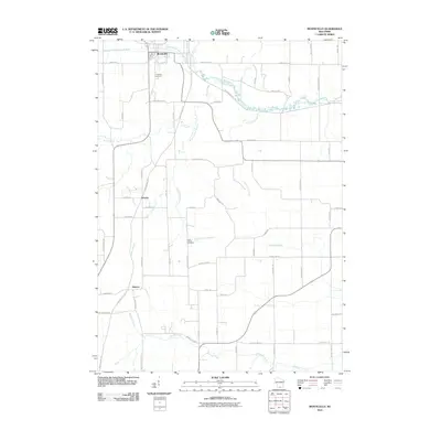
 1962 Monroe NW1964 Print · USGSGreen County farming life in the early sixties centers on a network of rural schools and family cemeteries. Genealogists can trace local heritage through the Washington Ch, Behken Cem, and numerous schoolhouses like Buckskin Sch.2 unique versions available
 - 1962 Map of Monticello, 1964 Print
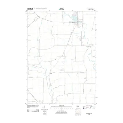
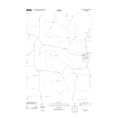
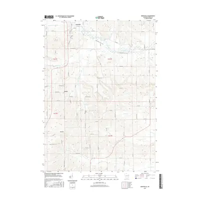
 1962 Monticello1964 Print · USGSGreen County’s river valleys and rail junctions are frozen in time during the early sixties, centered on the village of Monticello. Researchers can trace the paths of the Illinois Central railroad through small stops like Stearns or locate family markers in Highland Cem.3 unique versions available
 - 1962 Map of New Glarus, 1964 Print
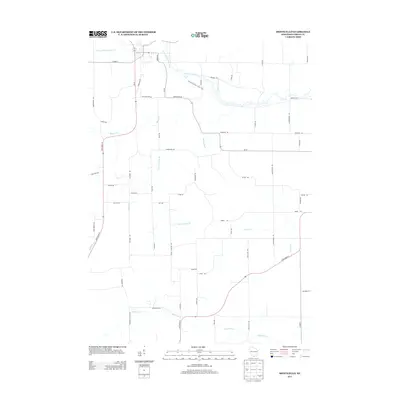
 1962 New Glarus1964 Print · USGSNew Glarus and the surrounding driftless-area townships appear here in the early sixties, showing the village's grid and the area's many quarries. Researchers can locate the Swiss Cem, follow the Little Sugar River, or explore Pioneer Valley.
 - 1962 Map of Monroe, 1964 Print
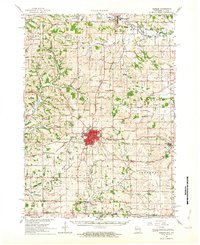 1962 Monroe1964 Print · USGSGreen County in the early sixties remains a center of rail-and-river commerce where the Illinois Central meets the Monroe city limits. Genealogists can trace family footprints through numerous rural sites like Dutch Hollow Sch, Calvary Cem, and the village of Monticello.2 unique versions available
 - 1962 Map of Belleville, 1972 Print
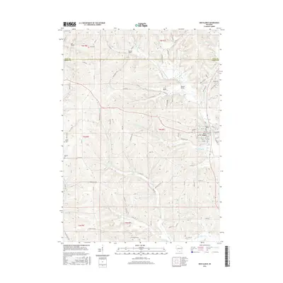
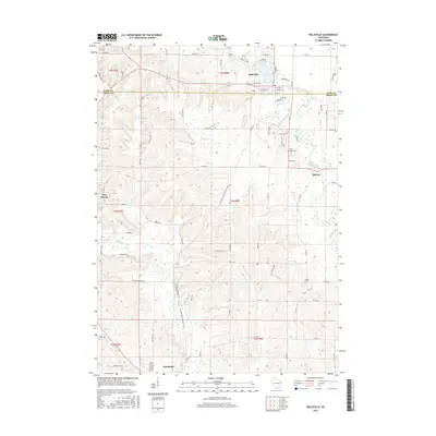
 1962 Belleville1972 Print · USGSThe Sugar River valley comes alive in the early seventies, showing a landscape of dairy townships and rail-connected villages. Genealogists and local historians can trace family plots at James Cem or explore the transit corridor of the Illinois Central Gulf and Ross Crossing.2 unique versions available
 - 1963 Map of Rockford
 1963 Rockford1963 Print · USGSThe mid-century industrial corridor along the Rock River is shown here during a period of rapid post-war growth. Researchers can trace the extensive rail lines of the Chicago and North Western or locate local landmarks like the Rockford Ordnance Depot and Holy Hill.
 - 1981 Map of Monroe
 1981 Monroe1981 Print · USGSSouthern Wisconsin and the Illinois borderlands come into focus in the early 1980s, showcasing a landscape defined by dairy farming and river valleys. Genealogists can trace family roots through historic hubs like Monroe, Stoughton, and Brodhead, or locate regional landmarks such as Yellowstone Lake and the Sugar River.
 - 2010 Map of New Glarus, 2010 Print
 2010 New Glarus2010 Print · USGSCovers Washington, including New Glarus, Primrose, and other nearby areas
 - 2010 Map of Monticello, 2010 Print
 2010 Monticello2010 Print · USGSCovers Washington, including Monticello, Sylvester, and other nearby areas
 - 2010 Map of Belleville, 2010 Print
 2010 Belleville2010 Print · USGSCovers Washington, including Belleville, New Glarus, and other nearby areas
 - 2010 Map of Monroe NW, 2010 Print
 2010 Monroe NW2010 Print · USGSCovers Washington, including Monroe, Monroe, and other nearby areas
 - 2013 Map of Monroe NW, 2013 Print
 2013 Monroe NW2013 Print · USGSCovers Washington, including Monroe, Monroe, and other nearby areas
 - 2013 Map of New Glarus, 2013 Print
 2013 New Glarus2013 Print · USGSCovers Washington, including New Glarus, Primrose, and other nearby areas
 - 2013 Map of Belleville, 2013 Print
 2013 Belleville2013 Print · USGSCovers Washington, including Belleville, New Glarus, and other nearby areas
 - 2013 Map of Monticello, 2013 Print
 2013 Monticello2013 Print · USGSCovers Washington, including Monticello, Sylvester, and other nearby areas
 - 2016 Map of New Glarus, 2016 Print
 2016 New Glarus2016 Print · USGSCovers Washington, including New Glarus, Primrose, and other nearby areas
 - 2016 Map of Belleville, 2016 Print
 2016 Belleville2016 Print · USGSCovers Washington, including Belleville, New Glarus, and other nearby areas
 - 2016 Map of Monticello, 2016 Print
 2016 Monticello2016 Print · USGSCovers Washington, including Monticello, Sylvester, and other nearby areas
Showing maps 1-25 of 34
Top cities near Washington
- Fitchburg historical maps
- Monroe historical maps
- Belleville historical maps
- New Glarus historical maps
- Exeter historical maps
- Montrose historical maps
See more
Frequently asked questions
- What are the different types of historical maps available for Washington?
- What is the oldest map of Washington?
- Where can I purchase historical maps of Washington for my home or office?
- Where can I download high-res historical maps of Washington?
- Are there historical topographic maps available for Washington?
- Is there historical aerial imagery available for Washington?
- Where are historical maps of Washington sourced from?