Old Maps of Eden, Wisconsin for Genealogy
Trace your family roots with 50 historic maps of Eden. These high-res maps reveal old neighborhoods, homesites, landmarks, and streets — helping you uncover where your ancestors lived and how the area evolved over time.
- Explore historic neighborhoods: Identify where your relatives may have lived in the 1800s or 1900s.
- Compare maps over time: Trace the changes in streets, buildings, and landmarks for multi-generational research.
- Perfect for genealogy & ancestry research: Used by family historians and researchers to map out lineage and migration.
These maps are an incredible resource for exploring your personal connection to Eden's past.
Eden, WI maps
(50)- 1902 Map of Mineral Point
 1902 Mineral Point1902 Print · USGSSouthwest Wisconsin and Northern Illinois are mapped here at the height of the regional mining era. Genealogists and historians can trace the rail lines of the Illinois Central to vanished junctions and local landmarks like Meekers Grove, Calamine, and Elk Grove.4 unique versions available
 - 1905 Map of Richland Center
 1905 Richland Center1905 Print · USGSRichland and Sauk Counties at the turn of the century show a landscape defined by the winding Wisconsin River and early rail expansion. Genealogists and historians can trace the foundations of local commerce through early post offices like Beach P.O. and rail hubs at Lone Rock and Richland Center.2 unique versions available
 - 1952 Map of Montfort, 1954 Print
 1952 Montfort1954 Print · USGSThe dairy lands and driftless ridges of Grant and Iowa Counties are documented here in the early fifties. Genealogists can locate numerous rural schoolhouses and family burial sites such as Rock Church Cem, Oak Grove Sch, and the Mifflin Mine works.2 unique versions available
 - 1952 Map of Dodgeville, 1954 Print
 1952 Dodgeville1954 Print · USGSDodgeville and the surrounding townships in the early 1950s reveal a landscape of tight-knit rural communities connected by rail and stream. Genealogists can trace family roots through numerous local landmarks like Bethlehem Ch, Diamond Grove Sch, and St Joseph Cem.3 unique versions available
 - 1952 Map of Linden, 1954 Print
 1952 Linden1954 Print · USGSWisconsin's Driftless Area reveals its mid-century character here, as the mining industry and small-town rail life intersect. Genealogists and historians can trace the locations of rural schools like Whitson View School and explore the rail corridor of the Chicago and North Western.
 - 1958 Map of La Crosse, 1979 Print
 1958 La Crosse1979 Print · USGSThe Driftless Area of Wisconsin and Iowa is captured here during the late seventies, showing the intricate river valleys and ridge-top settlements. Genealogists and historians can trace the rail corridors of the Soo Line or locate landmarks like Grandad Bluff and Effigy Mounds National Monument.2 unique versions available
 - 1959 Map of Dubuque, 1982 Print
 1959 Dubuque1982 Print · USGSThe Tri-State region comes alive in the mid-twentieth century as a hub of river commerce and rail transit. Genealogists and historians can trace the paths of the Illinois Central Gulf through Dubuque or locate the Savanna Ordnance Depot and Lock and Dam No 11.
 - 1960 Map of Muscoda, 1962 Print
 1960 Muscoda1962 Print · USGSThe Wisconsin River valley and the rugged driftless uplands are captured here in the early 1960s. Researchers can trace the path of the Chicago Milwaukee St Paul and Pacific railroad or locate rural landmarks like St John Ch and Strawberry Sch.
 - 1960 Map of Spring Green, 1962 Print
 1960 Spring Green1962 Print · USGSThe Wisconsin River valley and surrounding Driftless Area uplands are captured here in the early sixties. Researchers can trace rural lineages through numerous country landmarks like Unity Chapel, Gold Mine Sch, and the quiet crossroads at Clyde.2 unique versions available
 - 1961 Map of Dubuque
 1961 Dubuque1961 Print · USGSThe Tri-State region's river-and-rail landscape is captured here during the early sixties, showing the convergence of Iowa, Illinois, and Wisconsin. Trace mid-century rail lines like the Chicago Great Western Ry and explore sites like the Savanna Ordnance Depot and Backbone State Park.
 - 1961 Map of La Crosse
 1961 La Crosse1961 Print · USGSThe Driftless Area at the start of the 1960s reveals a complex network of river towns and rail lines along the Mississippi River. Genealogists and historians can trace old settlements like New Amsterdam and Wyattville or locate major landmarks like Camp McCoy Military Reservation and Effigy Mounds National Monument.
 - 1962 Map of Dubuque
 1962 Dubuque1962 Print · USGSThe Tri-State region's river-and-rail economy is captured here in the early sixties, centered on the Mississippi River bluffs. Genealogists and historians can locate Numerous lead and zinc mines, the New Melleray Abbey Monastery, and rural hubs like Saint Olaf.2 unique versions available
 - 1965 Map of La Crosse
 1965 La Crosse1965 Print · USGSThe Driftless Area and the Upper Mississippi valley are captured here during a period of steady mid-century growth. Researchers can trace the rail lines of the Chicago and North Western or locate riverfront sites like Effigy Mounds National Monument and the Camp McCoy Military Reservation.
 - 1976 Map of Dubuque
 1976 Dubuque1976 Print · USGSThe tri-state borderlands of Iowa, Wisconsin, and Illinois come alive during the mid-seventies, showing a region built on river commerce and mining. Genealogists and historians can trace the paths of the Illinois Central railroad or locate heritage sites like the New Melleray Abbey Monastery and Backbone State Park.
 - 1976 Map of La Crosse
 1976 La Crosse1976 Print · USGSThe Driftless Area and Mississippi River valley are captured here in the mid-seventies, showing a landscape of deep coulees and river commerce. Genealogists can trace family footprints from La Crosse to smaller hamlets like Newburg Corners and Witoka.
 - 1983 Map of Highland West
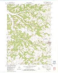 1983 Highland West1983 Print · USGSIn the driftless country of the early 1980s, the village of Highland and the Bohemian Ridge show a landscape shaped by narrow hollows and ridge-top farming. Genealogists and hikers can trace old routes like Staner Road or locate historic sites like St Johns Ch and Centerville.
 - 1983 Map of Highland East
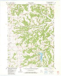 1983 Highland East1983 Print · USGSIowa County uplands and the village of Highland are documented here in the early eighties as the region balanced agriculture with recreation. Researchers can locate many rural burial grounds like St Malachy Cem or trace the drainage of Pompey Pillar Creek.
 - 1983 Map of Clyde
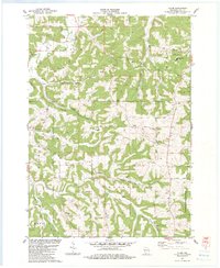 1983 Clyde1983 Print · USGSThe Driftless Area of Iowa County in the early eighties is a landscape of high ridges and deep hollows where rural life centered on valley roads and upland farms. Genealogists can locate family landmarks like St Malachy Ch, Dunbar Hill, and the secluded Norwegian Hollow.
 - 1984 Map of Dubuque North, 1985 Print
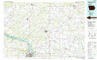 1984 Dubuque North1985 Print · USGSThis Tri-State region was a hub of Midwestern mining and river commerce in the mid-eighties. Researchers can trace the legacy of the Lead District through specific sites like Annie Mine or locate early civic centers such as First Capitol State Park.2 unique versions available
 - 1985 Map of Richland Center, 1991 Print
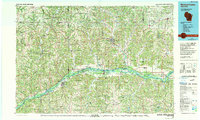 1985 Richland Center1991 Print · USGSSouthwest Wisconsin’s driftless landscape in the mid-1980s is defined by its deep river valleys and tight agricultural settlements. Researchers can trace family-named landmarks like Mickelson Ridge or find remote churches and schools near Richland Center and Dodgeville.
 - 2010 Map of Clyde, 2010 Print
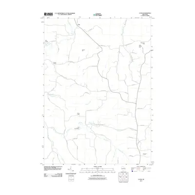 2010 Clyde2010 Print · USGSIn the driftless hills of Iowa County, this 2010 survey shows the rural crossroads of Clyde and its surrounding ridge-and-hollow landscape. Genealogists and historians can trace family locations near Saint Malachy Cemetery, Rock Church Cemetery, and Dunbar Hill.
 - 2010 Map of Linden, 2010 Print
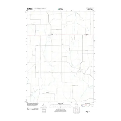 2010 Linden2010 Print · USGSIowa County at the start of the 2010s shows a landscape of enduring rural settlements and intricate waterway networks. Genealogists and local historians can trace family land ties near Thomas Cemetery or locate landmarks like the Robert Coyler G9994 Dam and Sudan Branch.
 - 2010 Map of Montfort, 2010 Print
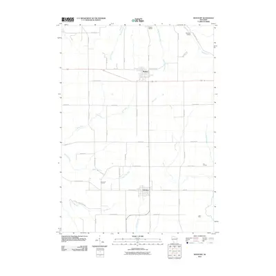 2010 Montfort2010 Print · USGSMontfort and Livingston are captured at the start of the 2010s, showcasing the agricultural and mining heritage of southwestern Wisconsin. Genealogists and historians can trace family burial sites at Zion Cemetery and Rock Church Cemetery or locate the historic Mifflin Mine.
 - 2010 Map of Dodgeville, 2010 Print
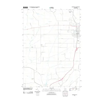 2010 Dodgeville2010 Print · USGSDodgeville and the surrounding Iowa County farmland are mapped here during a period of steady growth and modernization. Genealogists and local historians can locate early burial sites like Laxey Cemetery or follow the waters of Brewery Creek and Dodge Branch.
 - 2010 Map of Highland East, 2010 Print
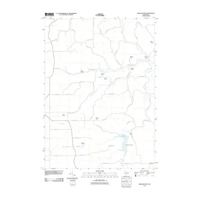 2010 Highland East2010 Print · USGSThe Driftless Area of Iowa County comes to life in this early twenty-first-century survey of the ridges and valleys near Highland. Genealogists and local historians can locate several family cemeteries, including Saint Malachy Cemetery and Blabaum Cemetery, alongside landmarks like Black Hawk Lake.
Showing maps 1-25 of 50
Top cities near Eden
- Dodgeville historical maps
- Mineral Point historical maps
- Muscoda historical maps
- Lone Rock historical maps
- Highland historical maps
- Orion historical maps
See more
Frequently asked questions
- What are the different types of historical maps available for Eden?
- What is the oldest map of Eden?
- Where can I purchase historical maps of Eden for my home or office?
- Where can I download high-res historical maps of Eden?
- Are there historical topographic maps available for Eden?
- Is there historical aerial imagery available for Eden?
- Where are historical maps of Eden sourced from?