Old Maps of Hyde, Wisconsin for Hiking & Exploration
Hike through history with 12 historic maps of Hyde. Explore old trails, ghost towns, and forgotten backroads — perfect for outdoor adventurers and local explorers.
- Rediscover forgotten places: Map out old mining camps, roads, and footpaths that no longer exist on modern maps.
- Layer with modern tools: Combine with LiDAR or satellite views to plan hikes through historical terrain.
- Made for exploration: Popular among hikers, overlanders, and local history lovers.
Use these maps to find adventure and explore the hidden past of Hyde.
Hyde, WI maps
(12)- 1920 Map of Blue Mounds, 1959 Print
 1920 Blue Mounds1959 Print · USGSThe Driftless Area of Dane and Iowa counties comes to life in the years following the Great War, showing a landscape of ridge-top towns and river-valley rails. Genealogists can locate dozens of rural landmarks, from the Hyde Church to schools like Seitz School and Larsonville School.
 - 1922 Map of Blue Mounds
 1922 Blue Mounds1922 Print · USGSThe Wisconsin River valley and the Driftless Area uplands meet here in the early nineteen-twenties, showing a landscape defined by rail corridors and rural school districts. Researchers can pinpoint historic family landmarks like Hyde Church, the Coon Rock Mill, and Fairview School.3 unique versions available
 - 1957 Map of Madison, 1967 Print
 1957 Madison1967 Print · USGSSouth-central Wisconsin in the mid-fifties reveals a landscape of industrial hubs and glacial lakes linked by a dense rail and highway network. Genealogists and historians can trace the development of lakeside communities and find notable sites like Badger Ordnance Works and the Horicon National Wildlife Refuge.3 unique versions available
 - 1960 Map of Madison
 1960 Madison1960 Print · USGSCentral and Southern Wisconsin are captured in the late fifties, showing the region as its rail-and-river network matured. Trace the paths of the Soo Line RR or locate family roots near Lake Mendota and Horicon National Wildlife Refuge.2 unique versions available
 - 1962 Map of Blue Mounds, 1964 Print
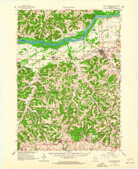 1962 Blue Mounds1964 Print · USGSThe Wisconsin River valley and the driftless hills of Dane County are captured here in the early sixties. Genealogists and hikers can trace old ridge roads to Little Norway, the White Church Cem, and the underground wonders of Cave of the Mounds.3 unique versions available
 - 1962 Map of Barneveld, 1964 Print
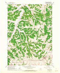 1962 Barneveld1964 Print · USGSIowa County at the start of the sixties reveals a landscape of high ridges and winding valley farms. Genealogists and local historians can trace family locations through named sites like Jennieton Cem, the Hyde Ch, and the winding Chicago and North Western rail line.2 unique versions available
 - 1991 Map of Madison
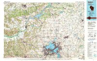 1991 Madison1991 Print · USGSMadison and its iconic glacial lakes are captured here during a time of steady urban expansion and regional growth. Researchers can trace the mid-century development of the University of Wisconsin, locate family sites near Forest Hill Cem, or explore the footprint of the Badger Army Ammunition Plant.
 - 2010 Map of Barneveld, 2010 Print
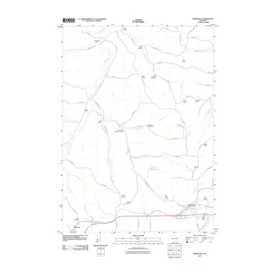 2010 Barneveld2010 Print · USGSThe Driftless Area of Iowa County comes into focus in the early twenty-first century, showing the enduring rural character of settlements like Barneveld and Hyde. Researchers can trace old family burial grounds at Jennieton Cemetery or follow the historic path of the Military Ridge State Trl.
 - 2013 Map of Barneveld, 2013 Print
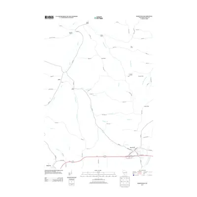 2013 Barneveld2013 Print · USGSBarneveld and the surrounding Iowa County uplands are captured in the early twenty-first century, showing the intersection of ridge-top travel and deep valley drainages. Genealogists and local historians can trace family-named geography like Amacher Hollow and Knight Hollow or locate landmarks such as Indian Castle.
 - 2016 Map of Barneveld, 2016 Print
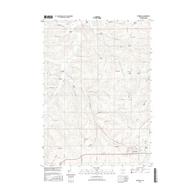 2016 Barneveld2016 Print · USGSIowa County at the turn of the century shows a landscape of ridge-top roads and deep-valley farms. Local historians can trace family locations near Jennieton Baptist Cem, Pinnacle Bluff, and the historic settlement at Hyde.
 - 2018 Map of Barneveld, 2018 Print
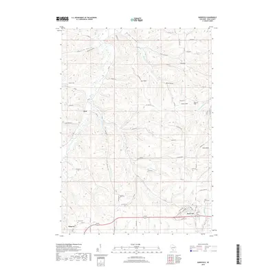 2018 Barneveld2018 Print · USGSThe Driftless Area of Iowa County comes into focus in the late 2010s, showing the enduring rural layout of Barneveld and Hyde. Researchers can trace family history through several local burial sites, including the Jennieton Cem and Eastside Cem, or locate landmarks like Indian Castle.
 - 2022 Map of Barneveld, 2022 Print
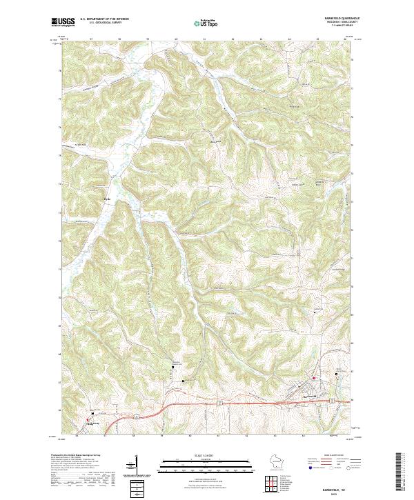 2022 Barneveld2022 Print · USGSIowa County in the early 2020s reflects a landscape of ridge-top settlements and deep-cut valleys. Researchers can trace the Military Ridge State Trl through Barneveld and Ridgeway, while locating rural sites like Jenneton Baptist Cem and Hyde.
End of results
Showing maps 1-12 of 12
Top cities near Hyde
- Dodgeville historical maps
- Prairie du Sac historical maps
- Mineral Point historical maps
- Black Earth historical maps
- Spring Green historical maps
- Barneveld historical maps
See more
Frequently asked questions
- What are the different types of historical maps available for Hyde?
- What is the oldest map of Hyde?
- Where can I purchase historical maps of Hyde for my home or office?
- Where can I download high-res historical maps of Hyde?
- Are there historical topographic maps available for Hyde?
- Is there historical aerial imagery available for Hyde?
- Where are historical maps of Hyde sourced from?