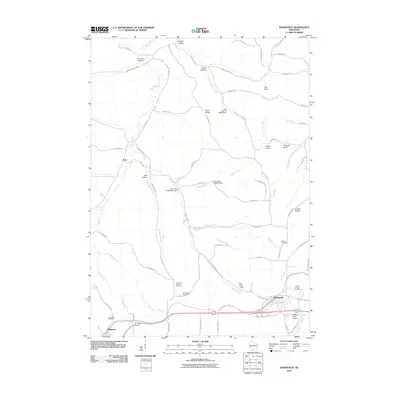
2010 Map of Barneveld
USGS Topo · Published 2010About this map
Barneveld and Ridgeway anchor the southern portion of this landscape, situated along a primary transportation corridor that includes the Military Ridge State Trl. This trail follows the historic ridgeline route, once a vital military road, separating the drainage basins of the East Branch Pecatonica River and several northward-flowing creeks. The terrain is defined by a series of deeply carved valleys or "hollows," such as Amacher Hollow and Knight Hollow, which give way to prominent high points like Blue Ridge and Pinnacle Bluff.
Find a feature on this map
73 named features on this map. Tap any name to fly to it.
Don’t see what you’re looking for? This feature index may not catch every label — zoom into the map to look around manually.
Map Details
Editions of this 2010 Barneveld Map
This is the sole edition of this map. No revisions or reprints were ever made.
Other maps of this area

1902 · Mineral Point
USGS Topo · 1:125,000

1905 · Richland Center
USGS Topo · 1:125,000

1920 · Blue Mounds
USGS Topo · 1:62,500

1922 · Blue Mounds
USGS Topo · 1:62,500

1923 · Blanchardville
USGS Topo · 1:62,500

1954 · Rockford
USGS Topo · 1:250,000

1955 · Rockford
USGS Topo · 1:250,000

1957 · Madison
USGS Topo · 1:250,000

1958 · Rockford
USGS Topo · 1:250,000

1958 · La Crosse
USGS Topo · 1:250,000