2020s Maps of Carey, Wisconsin
Explore 5 historic maps of Carey from the 2020s. These maps offer a rare glimpse into what life looked like during the 2020s — showing old roads, neighborhoods, homes, and landmarks that have changed or disappeared over time.
Whether you're researching your family's past, planning a metal detecting trip, or studying how Carey's landscape evolved across the 2020s, these high-resolution maps are a powerful tool for exploring the history of this region.
- Focus on a specific era: All maps on this page are from the 2020s, giving you a focused view of this time period.
- See what’s changed: Compare century-old streets, trails, and buildings to today's modern landscape using overlays and satellite layers.
- Research with precision: Use these maps for genealogy, historical research, land use analysis, or educational projects.
- View, download, or print: Maps are fully viewable online in high resolution, and can be downloaded or printed for your own records.
Start exploring Carey's history through authentic maps from the 2020s. This is your window into the past.
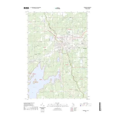
Carey, WI maps
(5)- 2022 Map of Lake Six, 2022 Print
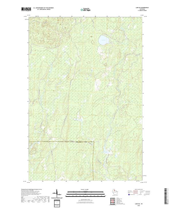 2022 Lake Six2022 Print · USGSNorthwoods Wisconsin near the county line is captured in this modern survey of timber and water. Researchers can trace land management history through the Roddis Line, Chippewa Fire Ln, and the shores of Forest Wonder Lake.
 - 2022 Map of Turntable Creek, 2022 Print
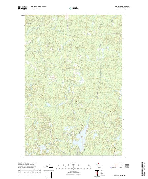 2022 Turntable Creek2022 Print · USGSIron County’s northern woods and waterways are documented here in the early twenty-first century. Researchers can trace the drainage of the Gogebic Range through Turntable Creek and locate family camps near Island Lake and Fifteen Lake.
 - 2022 Map of Pine Lake, 2022 Print
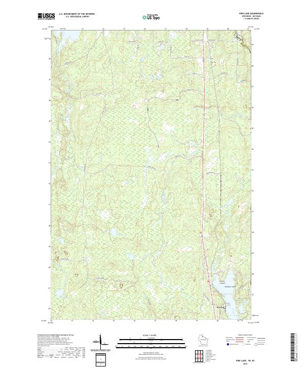 2022 Pine Lake2022 Print · USGSThe Wisconsin-Michigan border country near Iron County is captured here in the early twenty-first century. Researchers can trace lakeside developments at Pine Lake and find remote landmarks like Spring Cliff Falls or the small reaches of Little Pine Lake.
 - 2022 Map of Lake of the Falls, 2022 Print
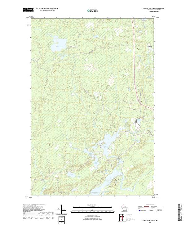 2022 Lake of the Falls2022 Print · USGSIron County’s Northwoods are mapped here in the early twenty-first century, showing the complex river and lake networks of northern Wisconsin. You can trace the Turtle River as it connects Lake of the Falls to the Turtle-Flambeau Flowage and the settlement of Carter.
 - 2023 Map of Ironwood, 2023 Print
 2023 Ironwood2023 Print · USGSIronwood and Hurley stand at the border of Michigan and Wisconsin in the 2020s, showing a landscape defined by the Gogebic Range. Genealogists can trace local roots at Riverside Cem or Hurley Cem, while following the Montreal River.
End of results
Showing maps 1-5 of 5
Top cities near Carey
- Ironwood historical maps
- Bessemer historical maps
- Mercer historical maps
- Hurley historical maps
- Montreal historical maps
- Kimball historical maps
See more
Frequently asked questions
- What are the different types of historical maps available for Carey?
- What is the oldest map of Carey?
- Where can I purchase historical maps of Carey for my home or office?
- Where can I download high-res historical maps of Carey?
- Are there historical topographic maps available for Carey?
- Is there historical aerial imagery available for Carey?
- Where are historical maps of Carey sourced from?