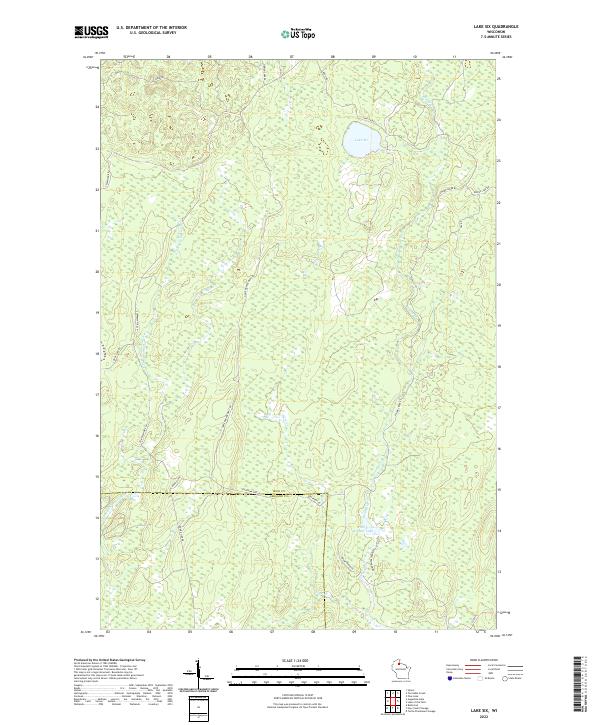
2022 Map of Lake Six
USGS Topo · Published 2022About this map
The E Fork Chippewa River winds through the western reaches of this landscape, marking a heavily forested region defined by its water systems and fire management infrastructure. This modern survey illustrates the complex boundary between Iron and Ashland counties, where the terrain is dominated by wetlands and named bodies of water such as Lake Six and Forest Wonder Lake. The presence of the Roddis Line and Roddis Line Rd suggests historical timber industry corridors now serving as local access routes.
Find a feature on this map
26 named features on this map. Tap any name to fly to it.
Don’t see what you’re looking for? This feature index may not catch every label — zoom into the map to look around manually.
Map Details
Editions of this 2022 Lake Six Map
This is the sole edition of this map. No revisions or reprints were ever made.
Other maps of this area

1940 · Mercer
USGS Topo · 1:48,000

1940 · Butternut
USGS Topo · 1:48,000

1940 · Upson
USGS Topo · 1:48,000

1943 · Upson
USGS Topo · 1:48,000

1943 · Ironwood
USGS Topo · 1:48,000

1945 · Mercer
USGS Topo · 1:48,000

1947 · Butternut
USGS Topo · 1:48,000

1947 · Mercer
USGS Topo · 1:48,000

1950 · Butternut
USGS Topo · 1:48,000

1953 · Ashland
USGS Topo · 1:250,000