Old Maps of Carey, Wisconsin for Hiking & Exploration
Hike through history with 45 historic maps of Carey. Explore old trails, ghost towns, and forgotten backroads — perfect for outdoor adventurers and local explorers.
- Rediscover forgotten places: Map out old mining camps, roads, and footpaths that no longer exist on modern maps.
- Layer with modern tools: Combine with LiDAR or satellite views to plan hikes through historical terrain.
- Made for exploration: Popular among hikers, overlanders, and local history lovers.
Use these maps to find adventure and explore the hidden past of Carey.
Carey, WI maps
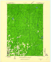
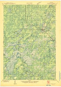
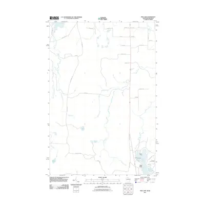
(45)- 1940 Map of Mercer, 1953 Print
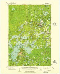
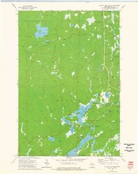
 1940 Mercer1953 Print · USGSIron County’s lake-rich landscape is captured in the early 1940s, showing the early growth of Northwoods tourism and timber management. Researchers can trace the rail corridor of the Chicago and Northwestern, find the rural Springstead Sch, and locate the historic Mercer Fire Tower.
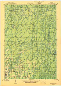
 - 1940 Map of Butternut, 1961 Print
 1940 Butternut1961 Print · USGSAshland and Iron Counties come alive in this wartime-era survey of the Northwoods timber and rail country. Genealogists and historians can trace rural schoolhouses like Otto Sch, the local government at Agenda Town Hall, and the old rail paths of the Soo Line.
 - 1940 Map of Upson, 1961 Print
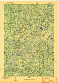
 1940 Upson1961 Print · USGSIron County’s timber and rail history is captured here at the start of the 1940s, when the northwoods were dotted with logging camps and active sidings. Genealogists and historians can trace family ties at Hillside Cem or locate the distinct footprints of Iron Belt and the remote LeClair Camp.2 unique versions available
 - 1943 Map of Upson
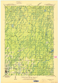
 1943 Upson1943 Print · USGSIron County during the early 1940s reveals a landscape shaped by mining, timber, and the railroads that served them. Genealogists and local historians can trace family-named outposts like McIver Camp and LeClair Camp or locate burials at Hillside Cem.2 unique versions available
 - 1943 Map of Ironwood
 1943 Ironwood1943 Print · USGSThe border country between Wisconsin and Michigan comes alive in this wartime survey of the iron range and timberlands. Researchers can trace early rural life through vanished sites like the Mosinee Lumber Camp, the Chicago and Northwestern Line, and local hubs like Buskirk.2 unique versions available
 - 1945 Map of Mercer
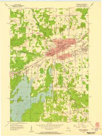
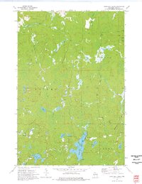
 1945 Mercer1945 Print · USGSIron County in the mid-1940s is defined by its massive flowage systems and transition from rail to highway travel. Genealogists and researchers can trace the rural infrastructure of Mercer via the Springstead Sch, Mercer Fire Tower, and the Chicago and Northwestern tracks.
 - 1947 Map of Butternut
 1947 Butternut1947 Print · USGSThe village of Butternut and the surrounding timberlands are captured here in the late 1940s. Genealogists and local historians can trace rural schoolhouse locations like Tank Sch and Smart Sch alongside early industry at Teeter Camp.
 - 1947 Map of Mercer
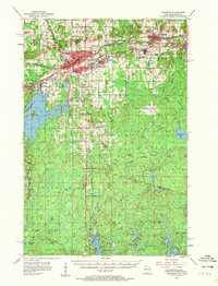
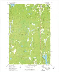
 1947 Mercer1947 Print · USGSIron County’s lake country is captured here during the post-war years as the regional transport network evolved. Researchers can trace family roots through settlements like Mercer and Springstead, or locate landmarks such as the Springstead Sch and the Mercer Fire Tower.
 - 1950 Map of Butternut
 1950 Butternut1950 Print · USGSWisconsin's Northwoods were still defined by logging camps and rural school districts in the mid-twentieth century. Genealogists and local historians can trace the foundations of Butternut and the surrounding townships, locating sites like Agenda Town Hall, Old Camp, and Tank Sch.
 - 1953 Map of Ashland, 1964 Print
 1953 Ashland1964 Print · USGSNorthern Wisconsin's lakefront and timberlands are seen here in the mid-1950s, showing the intersection of industrial rail lines and vast wilderness. Genealogists and historians can trace the Soo Line through rail towns like Mellen or locate family roots in the Apostle Islands and Bad River Indian Reservation.3 unique versions available
 - 1955 Map of Mercer, 1957 Print
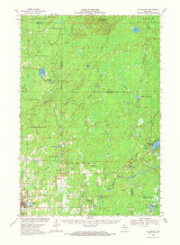
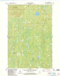
 1955 Mercer1957 Print · USGSIron County in the mid-1950s is a landscape of expansive forests and interconnected waterways. Researchers can trace the path of the CHICAGO AND NORTHWESTERN railroad or locate local landmarks like Springstead Sch and Murrays Landing.4 unique versions available
 - 1955 Map of Ironwood, 1957 Print
 1955 Ironwood1957 Print · USGSIronwood and Hurley stand at the center of the Gogebic Range during the mid-fifties, where Michigan mining meets Wisconsin timber. Genealogists can locate family homes near Sleight Sch, trace the Cary Mine operations, or find rural landmarks like the Finnish Ch and Van Buskirk.5 unique versions available
 - 1955 Map of Ironwood, 1961 Print
 1955 Ironwood1961 Print · USGSThe Gogebic Range iron district comes to life in this mid-century study of the Michigan-Wisconsin borderlands. Trace the industrial rail networks and mines like Newport Mine alongside the Finnish Ch and vanished local schools.2 unique versions available
 - 1958 Map of Ashland
 1958 Ashland1958 Print · USGSCoastal Wisconsin and the Michigan borderlands meet here in the late fifties, dominated by the timbered expanses and iron-rich ranges. Genealogists can trace family footprints in settlements like Odanah and Montreal, or locate landmarks such as the Coast Guard Station and Agricultural Experiment Station.
 - 1968 Map of Butternut, 1971 Print
 1968 Butternut1971 Print · USGSWisconsin's Northwoods come into focus in the late 1960s as a landscape defined by timber, rail, and water. Researchers can trace the Soo Line through Butternut, find the Union Cem, and locate river landmarks like Stubbs Rapids and Petes Landing.
 - 1973 Map of Lake of The Falls, 1976 Print
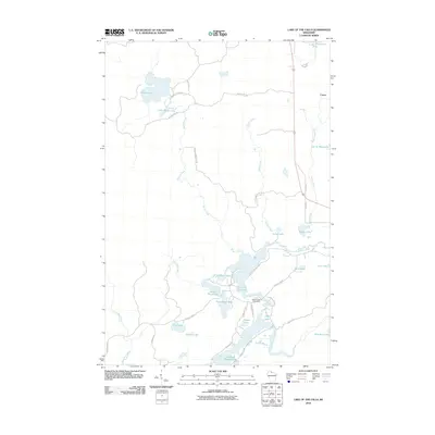
 1973 Lake of The Falls1976 Print · USGSIron County's lake country in the early seventies shows a landscape shaped by water and the timber-era rail network. Researchers can trace the Chicago and North Western line through Carter or locate the Winter Trail near Moose Lake.
 - 1973 Map of Turntable Creek, 1976 Print
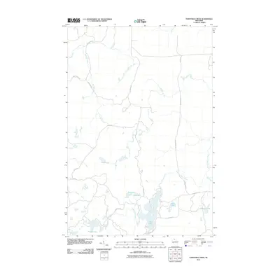
 1973 Turntable Creek1976 Print · USGSIron County in the early seventies is shown here as a landscape of timber and water before modern development. You can trace the path of an Old Railroad Grade past Island Lake or locate the remote Fifteen Lake and Turntable Creek.
 - 1973 Map of Pine Lake, 1977 Print
 1973 Pine Lake1977 Print · USGSIron County, Wisconsin, in the 1970s was a landscape of dense woods, industrial rail, and quiet lakefront settlements. Genealogists and historians can trace the paths of the Chicago and North Western and the Old Railroad Grade near Sandrock and Oma.
 - 1980 Map of Ironwood
 1980 Ironwood1980 Print · USGSThe Michigan-Wisconsin borderlands appear in the late twentieth century as a landscape defined by iron mining and deep forests. Researchers can trace the rail-and-river economy through the Soo Line and Chicago and North Western tracks connecting Mellen, Glidden, and Hurley.
 - 1984 Map of Lake Six
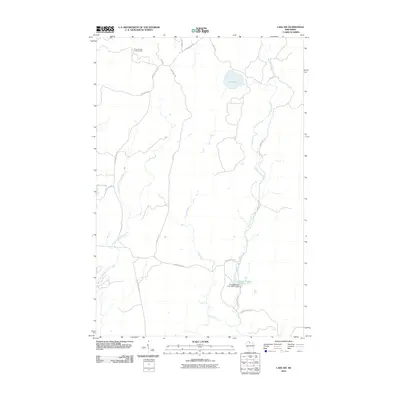
 1984 Lake Six1984 Print · USGSIron and Ashland Counties are shown in the mid-1980s as a landscape of remote waterways and timber routes. Researchers can trace the legacy of the logging industry along the Roddis Grade and locate the Pleasant Lake Lookout Tower.
 - 2010 Map of Lake of the Falls, 2010 Print
 2010 Lake of the Falls2010 Print · USGSCovers Carey, including Mercer, Oma, and other nearby areas
 - 2010 Map of Turntable Creek, 2010 Print
 2010 Turntable Creek2010 Print · USGSCovers Carey, including Knight, Pence, and other nearby areas
 - 2010 Map of Lake Six, 2010 Print
 2010 Lake Six2010 Print · USGSCovers Carey, including Mercer, Agenda, and other nearby areas
 - 2011 Map of Ironwood, 2011 Print
 2011 Ironwood2011 Print · USGSCovers Carey, including Ironwood, Hurley, and other nearby areas
 - 2011 Map of Pine Lake, 2011 Print
 2011 Pine Lake2011 Print · USGSCovers Carey, including Oma, Erwin Township, and other nearby areas
Showing maps 1-25 of 45
Top cities near Carey
- Ironwood historical maps
- Bessemer historical maps
- Mercer historical maps
- Hurley historical maps
- Montreal historical maps
- Kimball historical maps
See more
Frequently asked questions
- What are the different types of historical maps available for Carey?
- What is the oldest map of Carey?
- Where can I purchase historical maps of Carey for my home or office?
- Where can I download high-res historical maps of Carey?
- Are there historical topographic maps available for Carey?
- Is there historical aerial imagery available for Carey?
- Where are historical maps of Carey sourced from?