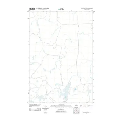
2010 Map of Turntable Creek
USGS Topo · Published 2010About this map
Island Lake and Pleasant Lake dominate the southern landscape of this northern Wisconsin quadrangle, where a dense network of water bodies and streams forms the headwaters of the regional drainage system. The Potato River snakes through the northwest, joined by its namesake Turntable Creek, while the West Fork Montreal River defines the eastern hydrology. This 2010 survey illustrates a region largely defined by its natural topography rather than dense urban development, with local access provided by a network of specialized routes like Chippewa Fire Ln and Snake Track Rd. The presence of Pleasant Lake Outlet and various glacial lakes including Ruby Lake and Fifteen Lake highlights a complex wetland environment essential for local drainage and recreation in Iron County.
Find a feature on this map
25 named features on this map. Tap any name to fly to it.
Don’t see what you’re looking for? This feature index may not catch every label — zoom into the map to look around manually.
Map Details
Editions of this 2010 Turntable Creek Map
This is the sole edition of this map. No revisions or reprints were ever made.
Other maps of this area

1940 · Mercer
USGS Topo · 1:48,000

1940 · Butternut
USGS Topo · 1:48,000

1940 · Upson
USGS Topo · 1:48,000

1943 · Upson
USGS Topo · 1:48,000

1943 · Ironwood
USGS Topo · 1:48,000

1945 · Mercer
USGS Topo · 1:48,000

1947 · Butternut
USGS Topo · 1:48,000

1947 · Mercer
USGS Topo · 1:48,000

1950 · Butternut
USGS Topo · 1:48,000

1953 · Ashland
USGS Topo · 1:250,000