Old Maps of Pray, City Point for Hiking & Exploration
Hike through history with 11 historic maps of Pray. Explore old trails, ghost towns, and forgotten backroads — perfect for outdoor adventurers and local explorers.
- Rediscover forgotten places: Map out old mining camps, roads, and footpaths that no longer exist on modern maps.
- Layer with modern tools: Combine with LiDAR or satellite views to plan hikes through historical terrain.
- Made for exploration: Popular among hikers, overlanders, and local history lovers.
Use these maps to find adventure and explore the hidden past of Pray.
Pray, City Point maps
(11)- 1953 Map of Eau Claire, 1965 Print
 1953 Eau Claire1965 Print · USGSWest-central Wisconsin in the mid-fifties shows a landscape of river-valley industry and vast wildlife refuges during the transition from rails to modern highways. Genealogists and historians can trace the rail corridors of the Chicago and North Western or locate family-named landmarks like Decorah Mound and Chippewa Island.4 unique versions available
 - 1957 Map of City Point, 1960 Print
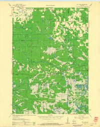 1957 City Point1960 Print · USGSJackson and Clark Counties are shown here in the late fifties, dominated by the timber and cranberry industries of the Central Wisconsin Sand County. Genealogists and historians can locate rural landmarks like Audubon Sch, Martyrs Cem, and the old rail siding at Spaulding.2 unique versions available
 - 1958 Map of Eau Claire
 1958 Eau Claire1958 Print · USGSWestern Wisconsin in the late fifties shows a landscape of growing regional hubs and massive wildlife refuges. Trace the rail lines of the Chicago and North Western between Eau Claire and Marshfield, or explore the terrain around Iron Mound and Lake Wissota.
 - 1964 Map of Eau Claire
 1964 Eau Claire1964 Print · USGSWest-central Wisconsin in the mid-1960s was a hub of river-driven industry and expanding rail networks. Researchers can trace historic homesteads near Menomonie, follow the Soo Line RR through Marshfield, or explore the grounds of the Camp McCoy Military Reservation.
 - 1970 Map of Spaulding, 1972 Print
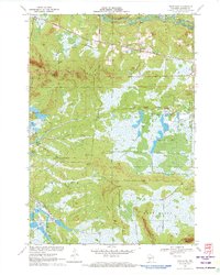 1970 Spaulding1972 Print · USGSJackson County’s cranberry country and railroad corridors are captured here in the early seventies. Genealogists and local historians can trace the tracks through Pray and Spaulding or locate landmarks like Potter Flowage and Saddle Mound.2 unique versions available
 - 1985 Map of Black River Falls
 1985 Black River Falls1985 Print · USGSCentral Wisconsin in the mid-1980s is defined by its sprawling wildlife refuges and the winding Black River corridor. Genealogists and researchers can trace rural settlements like Millston and Warrens or locate historical sites such as the Iron Mine and the grounds of Fort McCoy.2 unique versions available
 - 2010 Map of Spaulding, 2010 Print
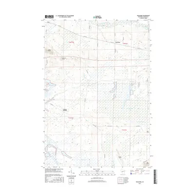
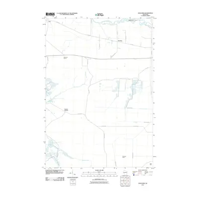 2010 Spaulding2010 Print · USGSCovers Pray, including City Point, Bear Bluff, and other nearby areas
 - 2013 Map of Spaulding, 2013 Print
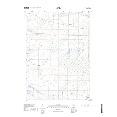
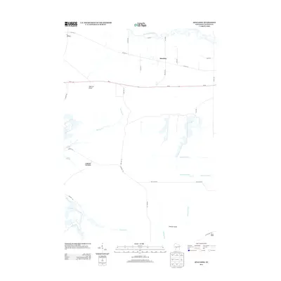 2013 Spaulding2013 Print · USGSCovers Pray, including City Point, Bear Bluff, and other nearby areas
 - 2015 Map of Spaulding, 2015 Print
 2015 Spaulding2015 Print · USGSCovers Pray, including City Point, Bear Bluff, and other nearby areas
 - 2018 Map of Spaulding, 2018 Print
 2018 Spaulding2018 Print · USGSCovers Pray, including City Point, Bear Bluff, and other nearby areas
 - 2022 Map of Spaulding, 2022 Print
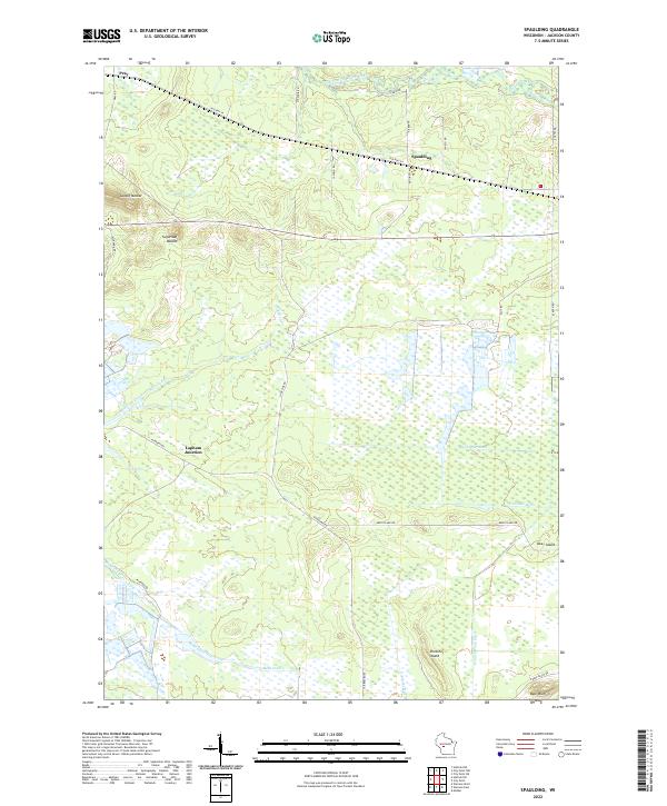 2022 Spaulding2022 Print · USGSWetlands and drainage ditches define this Jackson County landscape as it appeared in the early 2020s. Genealogists and local historians can trace the rural reaches of Pray, Spaulding, and Lapham Junction or locate family-named landmarks like Bear Bluff.
End of results
Showing maps 1-11 of 11
Top cities near Pray
- Brockway historical maps
- Neillsville historical maps
- Lynn historical maps
- Granton historical maps
- Sherwood historical maps
- City Point historical maps
See more
Frequently asked questions
- What are the different types of historical maps available for Pray?
- What is the oldest map of Pray?
- Where can I purchase historical maps of Pray for my home or office?
- Where can I download high-res historical maps of Pray?
- Are there historical topographic maps available for Pray?
- Is there historical aerial imagery available for Pray?
- Where are historical maps of Pray sourced from?