Old Maps of Aztalan, Wisconsin
Explore 20 old maps of Aztalan, spanning from 1891 to today. These high-resolution historic maps reveal how streets, neighborhoods, landmarks, and natural features evolved over time — perfect for genealogy, metal detecting, research, and local history exploration.
What you can do with these maps:
- See how Aztalan changed over time: Compare historical maps to modern-day views to trace roads, homesites, rail lines & more.
- View detailed metadata: Each map includes creators, publishers, year, scale, and archive source.
- Overlay maps with satellite & LiDAR: Visualize the past alongside modern tools to explore terrain & human change.
- Trusted historical sources: Maps sourced from the USGS, Library of Congress, and other archives.
- Access maps your way: View online, download high-res files, or order prints for personal or research use.
Start exploring old maps of Aztalan to uncover forgotten places, hidden landmarks, and the deep history beneath your feet.
Aztalan, WI maps
(20)- 1891 Map of Waterloo
 1891 Waterloo1891 Print · USGSJefferson County was an agricultural and rail landscape during the 1890s, defined by its winding river systems and glacial lakes. Genealogists can trace property locations near Lake Mills, Aztalan, and the Crawfish River during this period of early growth.
 - 1894 Map of Waterloo
 1894 Waterloo1894 Print · USGSJefferson County was an expanding hub of rail and river commerce in the 1890s as several major lines connected new settlements. You can trace early township boundaries and find the footprints of Lake Mills and Waterloo alongside the Rock River.2 unique versions available
 - 1910 Map of Waterloo
 1910 Waterloo1910 Print · USGSJefferson County’s river valleys and rail hubs are preserved here during the Edwardian era. Genealogists and historians can trace the rail-and-river economy through landmarks like Jefferson Junction, Hoopers Mill, and the early shoreline of Rock Lake.2 unique versions available
 - 1957 Map of Madison, 1967 Print
 1957 Madison1967 Print · USGSSouth-central Wisconsin in the mid-fifties reveals a landscape of industrial hubs and glacial lakes linked by a dense rail and highway network. Genealogists and historians can trace the development of lakeside communities and find notable sites like Badger Ordnance Works and the Horicon National Wildlife Refuge.3 unique versions available
 - 1959 Map of Lake Mills, 1961 Print
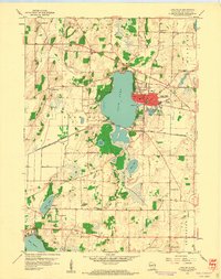 1959 Lake Mills1961 Print · USGSJefferson County in the late fifties showcases a landscape of glacial lakes and dairy-era rural schoolhouses centered on Rock Lake. Genealogists can locate family-named landmarks and institutions like Hoopers Mill, Faville Grove, and the Brick Street Sch.3 unique versions available
 - 1959 Map of Waterloo, 1961 Print
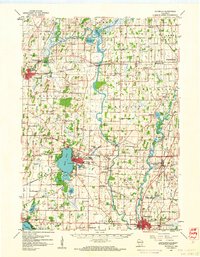 1959 Waterloo1961 Print · USGSJefferson County in the late fifties remains a landscape defined by its river bends and the crossing of major rail lines. Genealogists can locate family landmarks like Moravian Cem and Hoopers Mill, or trace the many rural school districts from Badger Sch to Hilltop Sch.
 - 1959 Map of Jefferson, 1961 Print
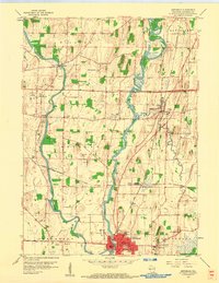 1959 Jefferson1961 Print · USGSJefferson and the surrounding river valleys are captured here in the late fifties, showcasing a landscape where ancient history and modern rail lines meet. Genealogists and historians can trace family sites from Milford to Aztalan, including the Indian Mounds and St Lawrence Ch Cem.2 unique versions available
 - 1960 Map of Madison
 1960 Madison1960 Print · USGSCentral and Southern Wisconsin are captured in the late fifties, showing the region as its rail-and-river network matured. Trace the paths of the Soo Line RR or locate family roots near Lake Mendota and Horicon National Wildlife Refuge.2 unique versions available
 - 1984 Map of Oconomowoc, 1985 Print
 1984 Oconomowoc1985 Print · USGSSoutheast Wisconsin in the mid-eighties shows a landscape defined by its glacial heritage and expanding metropolitan corridors. Genealogists and historians can trace the development of lakeside communities like Oconomowoc and Pewaukee, or find established settlements such as Watertown and Beaver Dam.
 - 1991 Map of Oconomowoc
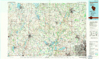 1991 Oconomowoc1991 Print · USGSSoutheastern Wisconsin in the early nineties shows a landscape of glacial lakes and growing suburbs. Trace local history through Aztalan State Park, Carroll College, and the sprawling Horicon Marsh State Wildlife Area.
 - 2010 Map of Jefferson, 2010 Print
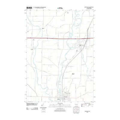 2010 Jefferson2010 Print · USGSJefferson and the surrounding river valleys are captured here in the early twenty-first century as the region balanced growth with its agricultural roots. Genealogists and historians can locate several family burial sites, including Church Hill Cemetery and Aztalan Cemetery, or trace the path of the Glacial Drumlin Trl.
 - 2010 Map of Lake Mills, 2010 Print
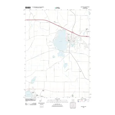 2010 Lake Mills2010 Print · USGSJefferson County's lakeside communities and glacial terrain are documented here at the start of the 2010s. Researchers can locate family heritage sites like Newville Cemetery, the industrial site at Hoopers Mill, and the Sylvan Mounds.
 - 2013 Map of Jefferson, 2013 Print
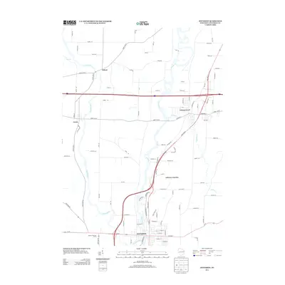 2013 Jefferson2013 Print · USGSJefferson County's river valleys and modern crossroads are documented here in the early twenty-first century. Genealogists and local historians can trace the growth of Jefferson and Johnson Creek alongside landmarks like the Highway 18 Outdoor Theatre.
 - 2013 Map of Lake Mills, 2013 Print
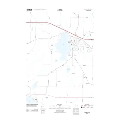 2013 Lake Mills2013 Print · USGSLake Mills and the surrounding glacial lake country are captured here in the early twenty-first century. Genealogists and local historians can trace residential developments around Rock Lake or locate old sites like Hoopers Mill and the lakeside community of Lake Ripley.
 - 2015 Map of Jefferson, 2015 Print
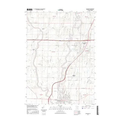 2015 Jefferson2015 Print · USGSThe river confluence at Jefferson and the surrounding townships are captured here in the mid-2010s. Researchers can locate numerous burial sites and transport hubs like Jefferson Junction, Greenwood Cem, and Aztalan Cem.
 - 2015 Map of Lake Mills, 2015 Print
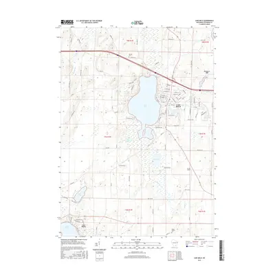 2015 Lake Mills2015 Print · USGSJefferson County lakeland life is on display here in the mid-2010s, centered on the growing community of Lake Mills and the shores of Rock Lake. Researchers can trace local heritage at Rock Lake Cem or locate historical sites like Hoopers Mill and Ha-Rail Airport.
 - 2018 Map of Lake Mills, 2018 Print
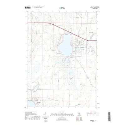 2018 Lake Mills2018 Print · USGSLake Mills and the surrounding Jefferson County wetlands appear in high detail during the late 2010s. Researchers can trace lakeside developments near Lake Ripley or locate family plots at Rock Lake Cem and North Oakland Cem.
 - 2018 Map of Jefferson, 2018 Print
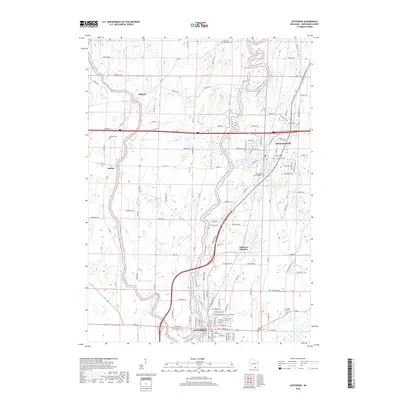 2018 Jefferson2018 Print · USGSThe rivers and rural crossroads of south-central Wisconsin are captured here in the late twenty-tens, showing the growth of Jefferson and Johnson Creek. Genealogists can locate numerous local burial sites like Saint John Cem and the Aztalan Cem near the Crawfish River.
 - 2022 Map of Lake Mills, 2022 Print
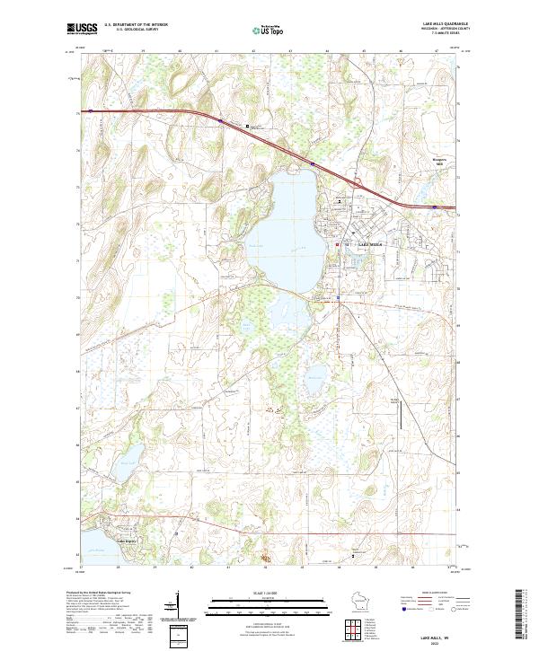 2022 Lake Mills2022 Print · USGSLake Mills and the surrounding glacial lake country are captured in this recent survey of Jefferson County. Genealogists and local historians can trace family plots at Rock Lake Cem or explore the waterfront history of Lake Mills and Hoopers Mill.
 - 2022 Map of Jefferson, 2022 Print
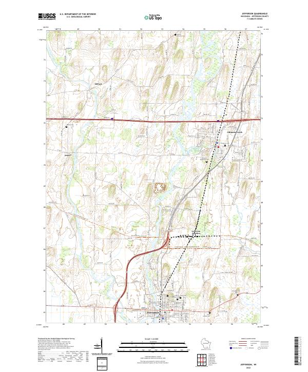 2022 Jefferson2022 Print · USGSJefferson and the surrounding river valleys are captured here in the early 2020s, showcasing a landscape defined by the Crawfish River and Rock River. Local historians can trace the development of Aztalan and Johnson Creek or locate ancestral sites like Greenwood Cem and the Jefferson County Courthouse.
End of results
Showing maps 1-20 of 20
Top cities near Aztalan
- Watertown historical maps
- Fort Atkinson historical maps
- Whitewater historical maps
- Jefferson historical maps
- Lake Mills historical maps
- Edgerton historical maps
See more
Frequently asked questions
- What are the different types of historical maps available for Aztalan?
- What is the oldest map of Aztalan?
- Where can I purchase historical maps of Aztalan for my home or office?
- Where can I download high-res historical maps of Aztalan?
- Are there historical topographic maps available for Aztalan?
- Is there historical aerial imagery available for Aztalan?
- Where are historical maps of Aztalan sourced from?