2000s (21st Century) Maps of Germantown, Wisconsin
Explore 20 historic maps of Germantown from the 2000s (21st Century). These maps offer a rare glimpse into what life looked like during the 2000s — showing old roads, neighborhoods, homes, and landmarks that have changed or disappeared over time.
Whether you're researching your family's past, planning a metal detecting trip, or studying how Germantown's landscape evolved across the 2000s, these high-resolution maps are a powerful tool for exploring the history of this region.
- Focus on a specific era: All maps on this page are from the 2000s, giving you a focused view of this time period.
- See what’s changed: Compare century-old streets, trails, and buildings to today's modern landscape using overlays and satellite layers.
- Research with precision: Use these maps for genealogy, historical research, land use analysis, or educational projects.
- View, download, or print: Maps are fully viewable online in high resolution, and can be downloaded or printed for your own records.
Start exploring Germantown's history through authentic maps from the 2000s. This is your window into the past.
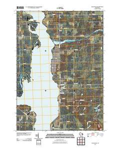
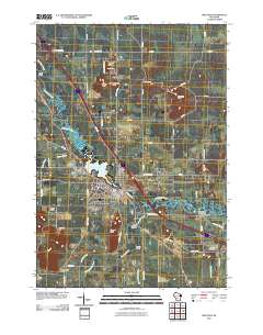
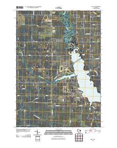
Germantown, WI maps
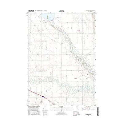
(20)- 2010 Map of Round Bluff, 2010 Print
 2010 Round Bluff2010 Print · USGSCovers Germantown, including Lemonweir, Easton, and other nearby areas
 - 2010 Map of Dellwood, 2010 Print
 2010 Dellwood2010 Print · USGSCovers Germantown, including Strongs Prairie, Quincy, and other nearby areas
 - 2010 Map of Mauston, 2010 Print
 2010 Mauston2010 Print · USGSCovers Germantown, including Mauston, Lemonweir, and other nearby areas
 - 2010 Map of Kelly, 2010 Print
 2010 Kelly2010 Print · USGSCovers Germantown, including Necedah, Kelly, and other nearby areas
 - 2013 Map of Mauston, 2013 Print
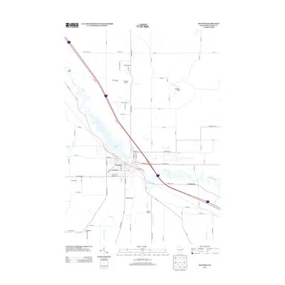 2013 Mauston2013 Print · USGSCovers Germantown, including Mauston, Lemonweir, and other nearby areas
 - 2013 Map of Kelly, 2013 Print
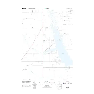 2013 Kelly2013 Print · USGSCovers Germantown, including Necedah, Kelly, and other nearby areas
 - 2013 Map of Dellwood, 2013 Print
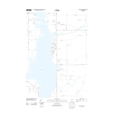 2013 Dellwood2013 Print · USGSCovers Germantown, including Strongs Prairie, Quincy, and other nearby areas
 - 2013 Map of Round Bluff, 2013 Print
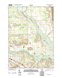 2013 Round Bluff2013 Print · USGSCovers Germantown, including Lemonweir, Easton, and other nearby areas
 - 2016 Map of Mauston, 2016 Print
 2016 Mauston2016 Print · USGSCovers Germantown, including Mauston, Lemonweir, and other nearby areas
 - 2016 Map of Dellwood, 2016 Print
 2016 Dellwood2016 Print · USGSCovers Germantown, including Strongs Prairie, Quincy, and other nearby areas
 - 2016 Map of Round Bluff, 2016 Print
 2016 Round Bluff2016 Print · USGSCovers Germantown, including Lemonweir, Easton, and other nearby areas
 - 2016 Map of Kelly, 2016 Print
 2016 Kelly2016 Print · USGSCovers Germantown, including Necedah, Kelly, and other nearby areas
 - 2018 Map of Mauston, 2018 Print
 2018 Mauston2018 Print · USGSCovers Germantown, including Mauston, Lemonweir, and other nearby areas
 - 2018 Map of Kelly, 2018 Print
 2018 Kelly2018 Print · USGSCovers Germantown, including Necedah, Kelly, and other nearby areas
 - 2018 Map of Round Bluff, 2018 Print
 2018 Round Bluff2018 Print · USGSCovers Germantown, including Lemonweir, Easton, and other nearby areas
 - 2018 Map of Dellwood, 2018 Print
 2018 Dellwood2018 Print · USGSCovers Germantown, including Strongs Prairie, Quincy, and other nearby areas
 - 2022 Map of Mauston, 2022 Print
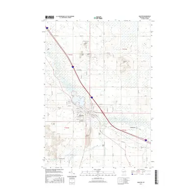
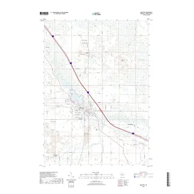
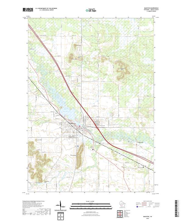 2022 Mauston2022 Print · USGSMauston and the surrounding river bluffs are captured here in the early 2020s, showing a landscape defined by the Lemonweir River. Researchers can locate family sites at Saint Patrick's Cem or trace the geography of unique landmarks like Steamboat Rock and Onemile Bluff.
 - 2022 Map of Round Bluff, 2022 Print
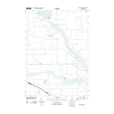
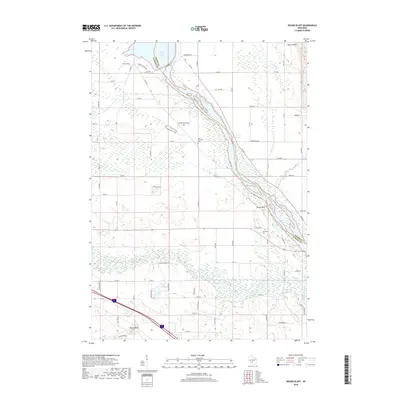
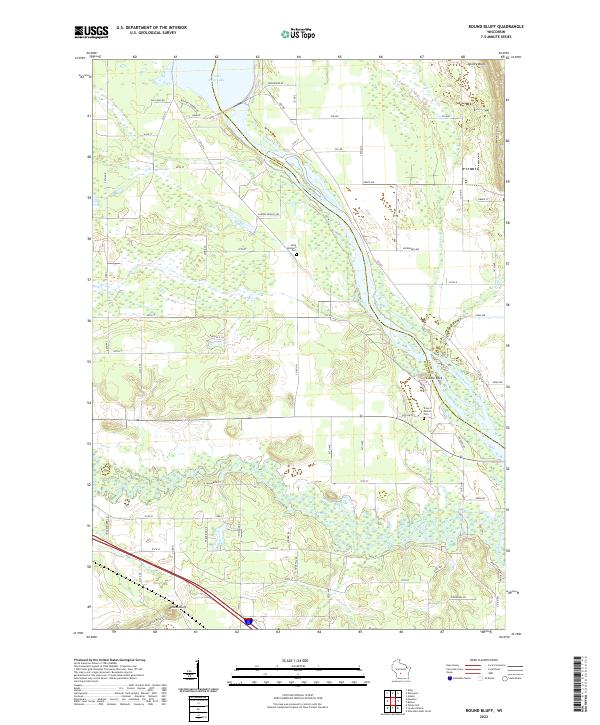 2022 Round Bluff2022 Print · USGSThe river systems of Juneau and Adams counties converge here in the early twenty-first century. Researchers can locate family sites near Saint Michaels Cem or trace the shoreline from Castle Rock Lake down the Wisconsin River.
 - 2022 Map of Dellwood, 2022 Print
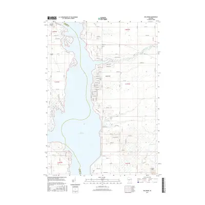
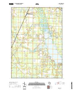
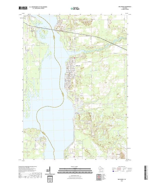 2022 Dellwood2022 Print · USGSDellwood and the eastern shores of Castle Rock Lake are documented here in the early 2020s, showing a mix of lakeside residential growth and traditional marshy lowlands. Genealogists and local historians can locate Dellwood Cem, Quincy Bluff, and the small airfields of Murmuring Springs and Accurate.
 - 2022 Map of Kelly, 2022 Print
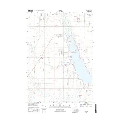
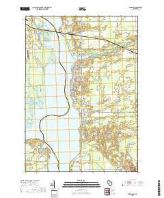
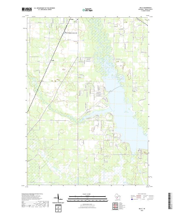 2022 Kelly2022 Print · USGSCentral Wisconsin's wetlands and waterways are in clear focus in this recent survey near the village of Necedah. Researchers can trace the banks of Castle Rock Lake and locate family landmarks like Saint Francis of Assisi Cem and the rural settlement of Kelly.
End of results
Showing maps 1-20 of 20
Top cities near Germantown
- Mauston historical maps
- New Lisbon historical maps
- Adams historical maps
- Lemonweir historical maps
- Dell Prairie historical maps
- Easton historical maps
See more
Top neighborhoods of Germantown
Frequently asked questions
- What are the different types of historical maps available for Germantown?
- What is the oldest map of Germantown?
- Where can I purchase historical maps of Germantown for my home or office?
- Where can I download high-res historical maps of Germantown?
- Are there historical topographic maps available for Germantown?
- Is there historical aerial imagery available for Germantown?
- Where are historical maps of Germantown sourced from?