Old Maps of Lisbon, Wisconsin for Academic Research
Study the evolution of Lisbon with 31 high-resolution historic maps. Whether you're teaching, researching, or modeling changes in land use, these maps provide essential visual documentation of urban, environmental, and geographic change.
- Analyze long-term change: Track patterns in development, transportation, and natural features.
- Ideal for environmental or urban studies: Support academic projects with primary historical map data.
- Use in the classroom or lab: Educators and researchers rely on these maps to bring historical context to life.
These maps are a powerful tool for teaching, research, and visualizing how Lisbon has changed over the decades.
Lisbon, WI maps
(31)- 1921 Map of Mauston
 1921 Mauston1921 Print · USGSJuneau County was a bustling hub of rail transport and rural education in the decade after the Great War. Genealogists can trace family footprints through dozens of rural school sites like Sand Hill School and family-named landmarks such as Buckley's Bridge.2 unique versions available
 - 1958 Map of La Crosse, 1979 Print
 1958 La Crosse1979 Print · USGSThe Driftless Area of Wisconsin and Iowa is captured here during the late seventies, showing the intricate river valleys and ridge-top settlements. Genealogists and historians can trace the rail corridors of the Soo Line or locate landmarks like Grandad Bluff and Effigy Mounds National Monument.2 unique versions available
 - 1961 Map of La Crosse
 1961 La Crosse1961 Print · USGSThe Driftless Area at the start of the 1960s reveals a complex network of river towns and rail lines along the Mississippi River. Genealogists and historians can trace old settlements like New Amsterdam and Wyattville or locate major landmarks like Camp McCoy Military Reservation and Effigy Mounds National Monument.
 - 1962 Map of Mauston, 1964 Print
 1962 Mauston1964 Print · USGSJuneau County in the early 1960s is defined by the expansive Castle Rock Flowage and the bustling rail corridors of the Lemonweir River valley. Genealogists and local researchers can locate numerous family landmarks, including St Patricks Cem, Baker Sch, and the grounds of Camp Williams.2 unique versions available
 - 1965 Map of La Crosse
 1965 La Crosse1965 Print · USGSThe Driftless Area and the Upper Mississippi valley are captured here during a period of steady mid-century growth. Researchers can trace the rail lines of the Chicago and North Western or locate riverfront sites like Effigy Mounds National Monument and the Camp McCoy Military Reservation.
 - 1976 Map of La Crosse
 1976 La Crosse1976 Print · USGSThe Driftless Area and Mississippi River valley are captured here in the mid-seventies, showing a landscape of deep coulees and river commerce. Genealogists can trace family footprints from La Crosse to smaller hamlets like Newburg Corners and Witoka.
 - 1983 Map of New Lisbon North, 1984 Print
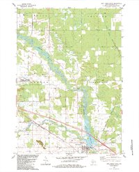 1983 New Lisbon North1984 Print · USGSJuneau County's river valleys and the growing military presence at Volk Field are captured here in the early 1980s. Genealogists can locate family burial plots like Brewster Cem or trace the Lemonweir River past Lone Rock and Orange Mill.
 - 1983 Map of New Lisbon South, 1984 Print
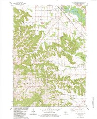 1983 New Lisbon South1984 Print · USGSJuneau County's diverse topography of ridges and river valleys is documented here in the early 1980s. Genealogists and historians can locate family burial sites like Rock Valley Cem and Mt Zion Cem while tracing the winding Lemonweir River.
 - 1983 Map of Mauston, 1984 Print
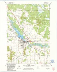 1983 Mauston1984 Print · USGSJuneau County was characterized by a blend of river-valley agriculture and growing civic centers in the early eighties. You can trace family plots at St Patricks Cem or locate landmarks like the Hess Memorial Hospital and the Milwaukee Road rail line.
 - 1983 Map of Kelly, 1984 Print
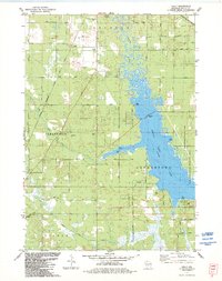 1983 Kelly1984 Print · USGSJuneau County's eastern lakefront and rail corridors are captured in the early eighties as Castle Rock Lake borders rising parklands. Genealogists and local historians can trace the Danish Cem, locate the Townhall, or follow the path of the Chicago and North Western railroad.
 - 1985 Map of Sparta
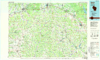 1985 Sparta1985 Print · USGSWestern Wisconsin in the 1980s shows the unique ridge-and-valley terrain of the Driftless Area during a period of transition for its rails and rural hubs. Trace the historic rail tunnels of the Elroy-Sparta State Trail and find local landmarks like St Marys Ch and Castle Rock Lake.2 unique versions available
 - 2010 Map of New Lisbon North, 2010 Print
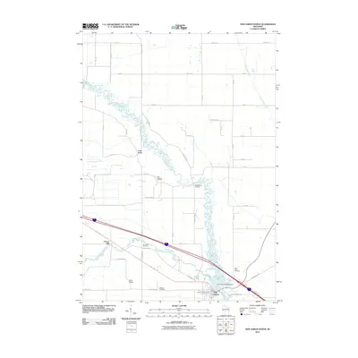 2010 New Lisbon North2010 Print · USGSJuneau County at the start of the century shows a landscape defined by the winding Lemonweir River and its rural settlements. Researchers can locate family landmarks like Saint Pauls Cemetery and the site of Orange Mill.
 - 2010 Map of New Lisbon South, 2010 Print
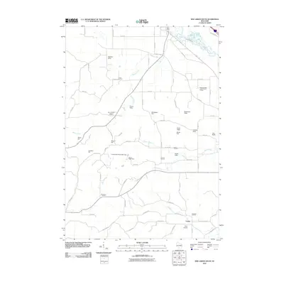 2010 New Lisbon South2010 Print · USGSThe rural valleys and ridges south of New Lisbon are captured here in the early twenty-first century. Genealogists and local historians can locate several family-named landmarks and burial sites, from Mount Zion Cemetery to the Mauston-New Lisbon Union Airport.
 - 2010 Map of Mauston, 2010 Print
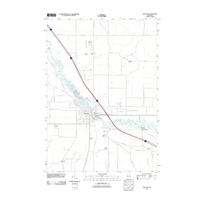 2010 Mauston2010 Print · USGSMauston and the winding Lemonweir River are captured here in the early twenty-first century, showing the intersection of water-power infrastructure and bluff topography. Genealogists and local historians can locate Saint Patricks Cemetery, the Mauston Dam, and family landmarks like Smarts Bluff.
 - 2010 Map of Kelly, 2010 Print
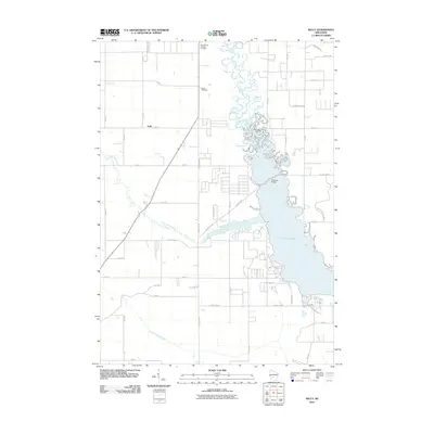 2010 Kelly2010 Print · USGSCentral Wisconsin's watery landscape is meticulously detailed here during the late two-thousands. Genealogists and local historians can trace the community of Kelly, locate the Danish Cemetery, or explore the shoreline developments around Castle Rock Lake.
 - 2013 Map of New Lisbon North, 2013 Print
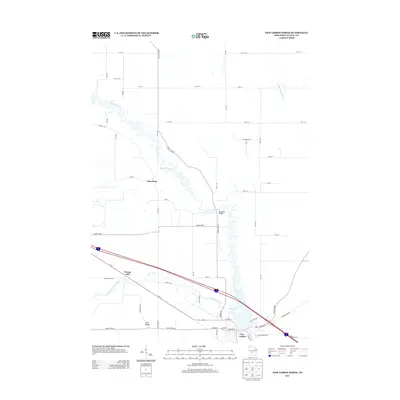 2013 New Lisbon North2013 Print · USGSThe northern reaches of New Lisbon and the winding Lemonweir River are captured here in the early twenty-first century. Genealogists and historians can trace the local landscape through landmarks like Orange Mill, Buckleys Bridge, and Lone Rock.
 - 2013 Map of Mauston, 2013 Print
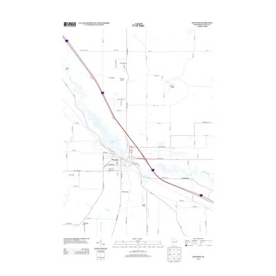 2013 Mauston2013 Print · USGSThe Juneau County seat at Mauston is captured here in the early twenty-first century, positioned along the banks of the Lemonweir River. Genealogists and local historians can trace property locations near Decorah Lake or identify landmarks like Smarts Bluff and Steamboat Rock.
 - 2013 Map of Kelly, 2013 Print
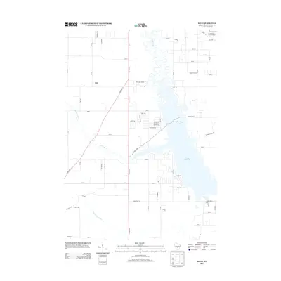 2013 Kelly2013 Print · USGSKelly and the surrounding Juneau County wetlands are captured here in the early twenty-first century, showcasing a landscape shaped by the Yellow River and Castle Rock Lake. Researchers can trace local landmarks like the Buckhorn Bridge and the boundaries of Buckhorn State Park.
 - 2013 Map of New Lisbon South, 2013 Print
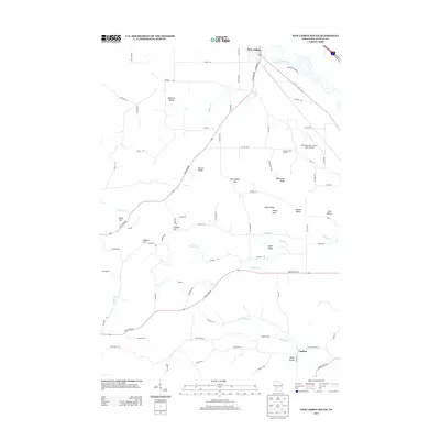 2013 New Lisbon South2013 Print · USGSJuneau County’s rural character is well-preserved in the early twenty-first century as the Lemonweir River winds south of New Lisbon. Researchers can trace the network of local roads to family-named landmarks like Duckworth Ridge, Johnson Valley, and Twin Bluffs.
 - 2016 Map of New Lisbon North, 2016 Print
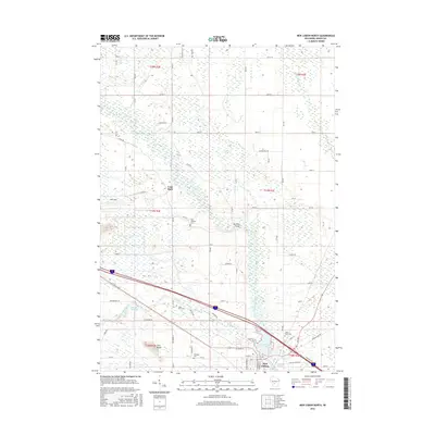 2016 New Lisbon North2016 Print · USGSNew Lisbon and the surrounding Juneau County wetlands appear in this detailed 2016 survey during a period of modern military and agricultural continuity. Researchers can trace the convergences of the Lemonweir River, locate historic burial sites like Brewster Cem, and explore the perimeter of Volk Field.
 - 2016 Map of Mauston, 2016 Print
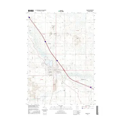 2016 Mauston2016 Print · USGSMauston and the surrounding Juneau County countryside are documented here in the mid-2010s, centered on the Lemonweir River corridor. Genealogists and local historians can locate Saint Patricks Cem or trace family landmarks like Smarts Bluff and Steamboat Rock.
 - 2016 Map of New Lisbon South, 2016 Print
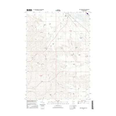 2016 New Lisbon South2016 Print · USGSSouth of the Lemonweir River in the mid-2010s, this area of Juneau County remains a landscape of deeply etched valleys and ridges. Local historians can trace old family cemetery sites like East Lemonweir Lutheran Cem and Zindorf Cem among landmarks like Duckworth Ridge.
 - 2016 Map of Kelly, 2016 Print
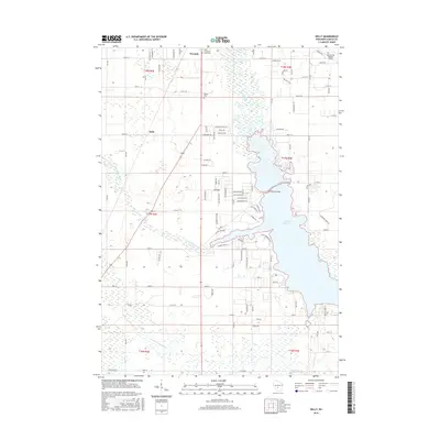 2016 Kelly2016 Print · USGSThe northern reaches of Juneau County are captured here in 2016, showing the interplay between Necedah and the waters of Castle Rock Lake. Trace local heritage at the Danish Cem or follow the winding courses of the Yellow River and Little Yellow River.
 - 2018 Map of Mauston, 2018 Print
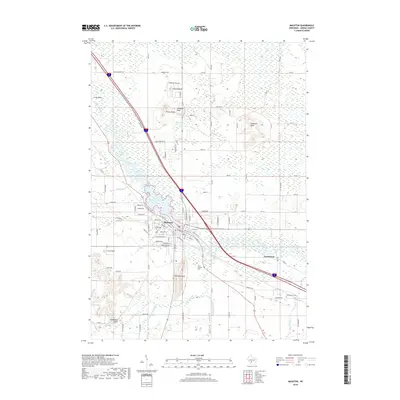 2018 Mauston2018 Print · USGSThe Lemonweir River valley remains the heart of Juneau County in the late 2010s, where the city of Mauston meets the river at Decorah Lake. Local historians can trace family roots at Saint Patricks Cem or explore landmark bluffs like Smarts Bluff and Coon Rock.
 - 2018 Map of New Lisbon North, 2018 Print
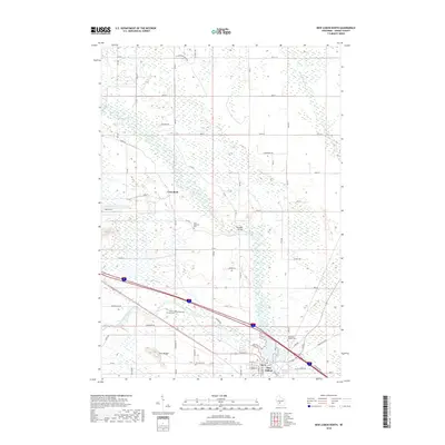 2018 New Lisbon North2018 Print · USGSThe northern reaches of New Lisbon and the surrounding Town of Orange are documented here in the early twenty-first century. Genealogists and historians can trace local family lineages at Saint Stephens Cem or explore the riverbanks near Buckleys Bridge.
Showing maps 1-25 of 31
Top cities near Lisbon
- Mauston historical maps
- New Lisbon historical maps
- Lemonweir historical maps
- Elroy historical maps
- Hillsboro historical maps
- Lyndon historical maps
See more
Frequently asked questions
- What are the different types of historical maps available for Lisbon?
- What is the oldest map of Lisbon?
- Where can I purchase historical maps of Lisbon for my home or office?
- Where can I download high-res historical maps of Lisbon?
- Are there historical topographic maps available for Lisbon?
- Is there historical aerial imagery available for Lisbon?
- Where are historical maps of Lisbon sourced from?