Old Maps of Mauston, Wisconsin for Genealogy
Trace your family roots with 13 historic maps of Mauston. These high-res maps reveal old neighborhoods, homesites, landmarks, and streets — helping you uncover where your ancestors lived and how the area evolved over time.
- Explore historic neighborhoods: Identify where your relatives may have lived in the 1800s or 1900s.
- Compare maps over time: Trace the changes in streets, buildings, and landmarks for multi-generational research.
- Perfect for genealogy & ancestry research: Used by family historians and researchers to map out lineage and migration.
These maps are an incredible resource for exploring your personal connection to Mauston's past.
Mauston, WI maps
(13)- 1921 Map of Mauston
 1921 Mauston1921 Print · USGSJuneau County was a bustling hub of rail transport and rural education in the decade after the Great War. Genealogists can trace family footprints through dozens of rural school sites like Sand Hill School and family-named landmarks such as Buckley's Bridge.2 unique versions available
 - 1958 Map of La Crosse, 1979 Print
 1958 La Crosse1979 Print · USGSThe Driftless Area of Wisconsin and Iowa is captured here during the late seventies, showing the intricate river valleys and ridge-top settlements. Genealogists and historians can trace the rail corridors of the Soo Line or locate landmarks like Grandad Bluff and Effigy Mounds National Monument.2 unique versions available
 - 1961 Map of La Crosse
 1961 La Crosse1961 Print · USGSThe Driftless Area at the start of the 1960s reveals a complex network of river towns and rail lines along the Mississippi River. Genealogists and historians can trace old settlements like New Amsterdam and Wyattville or locate major landmarks like Camp McCoy Military Reservation and Effigy Mounds National Monument.
 - 1962 Map of Mauston, 1964 Print
 1962 Mauston1964 Print · USGSJuneau County in the early 1960s is defined by the expansive Castle Rock Flowage and the bustling rail corridors of the Lemonweir River valley. Genealogists and local researchers can locate numerous family landmarks, including St Patricks Cem, Baker Sch, and the grounds of Camp Williams.2 unique versions available
 - 1965 Map of La Crosse
 1965 La Crosse1965 Print · USGSThe Driftless Area and the Upper Mississippi valley are captured here during a period of steady mid-century growth. Researchers can trace the rail lines of the Chicago and North Western or locate riverfront sites like Effigy Mounds National Monument and the Camp McCoy Military Reservation.
 - 1976 Map of La Crosse
 1976 La Crosse1976 Print · USGSThe Driftless Area and Mississippi River valley are captured here in the mid-seventies, showing a landscape of deep coulees and river commerce. Genealogists can trace family footprints from La Crosse to smaller hamlets like Newburg Corners and Witoka.
 - 1983 Map of Mauston, 1984 Print
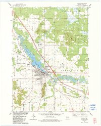 1983 Mauston1984 Print · USGSJuneau County was characterized by a blend of river-valley agriculture and growing civic centers in the early eighties. You can trace family plots at St Patricks Cem or locate landmarks like the Hess Memorial Hospital and the Milwaukee Road rail line.
 - 1985 Map of Sparta
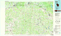 1985 Sparta1985 Print · USGSWestern Wisconsin in the 1980s shows the unique ridge-and-valley terrain of the Driftless Area during a period of transition for its rails and rural hubs. Trace the historic rail tunnels of the Elroy-Sparta State Trail and find local landmarks like St Marys Ch and Castle Rock Lake.2 unique versions available
 - 2010 Map of Mauston, 2010 Print
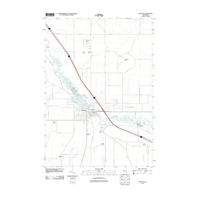 2010 Mauston2010 Print · USGSMauston and the winding Lemonweir River are captured here in the early twenty-first century, showing the intersection of water-power infrastructure and bluff topography. Genealogists and local historians can locate Saint Patricks Cemetery, the Mauston Dam, and family landmarks like Smarts Bluff.
 - 2013 Map of Mauston, 2013 Print
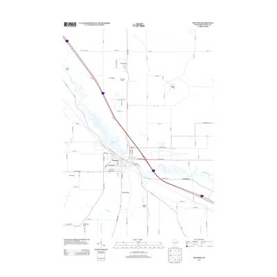 2013 Mauston2013 Print · USGSThe Juneau County seat at Mauston is captured here in the early twenty-first century, positioned along the banks of the Lemonweir River. Genealogists and local historians can trace property locations near Decorah Lake or identify landmarks like Smarts Bluff and Steamboat Rock.
 - 2016 Map of Mauston, 2016 Print
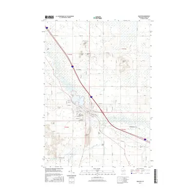 2016 Mauston2016 Print · USGSMauston and the surrounding Juneau County countryside are documented here in the mid-2010s, centered on the Lemonweir River corridor. Genealogists and local historians can locate Saint Patricks Cem or trace family landmarks like Smarts Bluff and Steamboat Rock.
 - 2018 Map of Mauston, 2018 Print
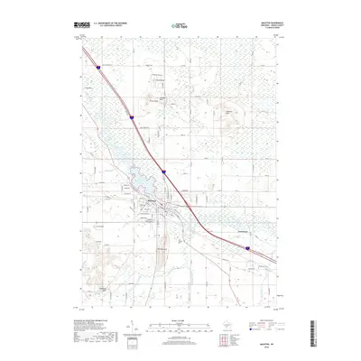 2018 Mauston2018 Print · USGSThe Lemonweir River valley remains the heart of Juneau County in the late 2010s, where the city of Mauston meets the river at Decorah Lake. Local historians can trace family roots at Saint Patricks Cem or explore landmark bluffs like Smarts Bluff and Coon Rock.
 - 2022 Map of Mauston, 2022 Print
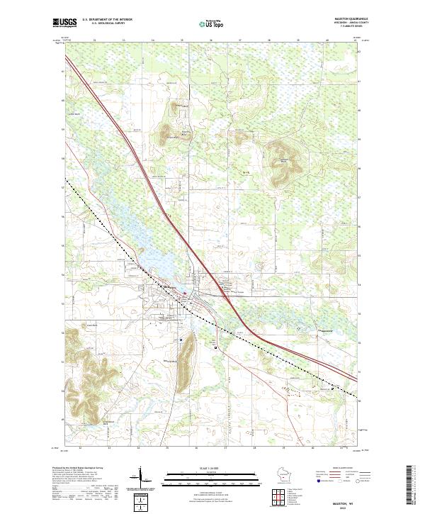 2022 Mauston2022 Print · USGSMauston and the surrounding river bluffs are captured here in the early 2020s, showing a landscape defined by the Lemonweir River. Researchers can locate family sites at Saint Patrick's Cem or trace the geography of unique landmarks like Steamboat Rock and Onemile Bluff.
End of results
Showing maps 1-13 of 13
Top cities near Mauston
- New Lisbon historical maps
- Lemonweir historical maps
- Elroy historical maps
- Easton historical maps
- Lyndon historical maps
- Town of Lyndon historical maps
See more
Frequently asked questions
- What are the different types of historical maps available for Mauston?
- What is the oldest map of Mauston?
- Where can I purchase historical maps of Mauston for my home or office?
- Where can I download high-res historical maps of Mauston?
- Are there historical topographic maps available for Mauston?
- Is there historical aerial imagery available for Mauston?
- Where are historical maps of Mauston sourced from?