Old Maps of Kenosha, Wisconsin for Metal Detecting
Plan your next treasure hunt with 24 historic maps of Kenosha. Find old homesites, ghost towns, trails, and gathering spots that may be lost to time — perfect for identifying promising metal detecting locations.
- Locate forgotten sites: Uncover places like long-lost settlements, abandoned rail lines, or gathering spots.
- Plan better hunts: Use map overlays combined with LiDAR or satellite views to narrow in on historically rich areas.
- Made for detectorists: Thousands of hobbyists use these maps to discover relics, coins, and hidden history.
Use these historic maps to boost your research and find new opportunities beneath the surface of Kenosha.
Kenosha, WI maps
(24)- 1892 Map of Racine
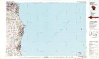
 1892 Racine1892 Print · USGSSoutheastern Wisconsin's lakeshore was a hub of rail and river industry at the close of the nineteenth century. Genealogists and historians can trace the early street grids of Racine and Kenosha or locate vanished rail stops at Western Union Junction and Windsor.2 unique versions available
 - 1905 Map of Racine
 1905 Racine1905 Print · USGSCoastal Wisconsin at the turn of the century is defined by its industrial lakefront and a dense web of competing rail lines. Researchers can trace the early city footprints of Racine and Kenosha alongside rail junctions like Corliss and Ranney.3 unique versions available
 - 1958 Map of Kenosha, 1960 Print
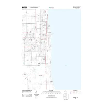
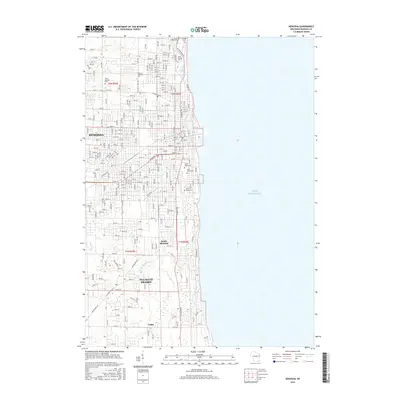
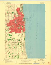 1958 Kenosha1960 Print · USGSThe Lake Michigan shoreline at Kenosha is shown here in the late 1950s during a period of significant urban expansion. Researchers can trace the three major rail lines, including the Chicago North Shore and Milwaukee, and locate local landmarks like St Josephs Sch and St Casimirs Cem.4 unique versions available
 - 1958 Map of Racine South, 1960 Print
 1958 Racine South1960 Print · USGSRacine and its southern lakefront suburbs are caught at a mid-century peak of rail activity and community expansion. Researchers can trace family sites at Mound Cemetery or locate the old Chicago North Shore and Milwaukee line.3 unique versions available
 - 1958 Map of Pleasant Prairie, 1960 Print
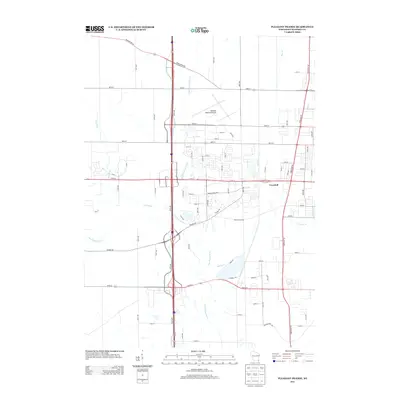
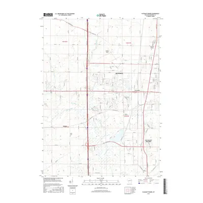
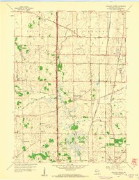 1958 Pleasant Prairie1960 Print · USGSPleasant Prairie and the Des Plaines River valley are captured in the late fifties as rural life and aviation infrastructure intersected. Genealogists can locate family landmarks like Wesley Ch, Star Harmony Sch, and the North Bristol Cem.2 unique versions available
 - 1958 Map of Racine, 1971 Print
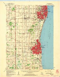
 1958 Racine1971 Print · USGSThe Lake Michigan shoreline in the late fifties was a study in contrasts between the industrial bustle of Kenosha and the quiet woods of the Allegan State Forest. Genealogists and historians can trace the urban footprint of Evanston or locate strategic sites like Fort Sheridan and the Wind Point Light.3 unique versions available
 - 1959 Map of Racine, 1960 Print
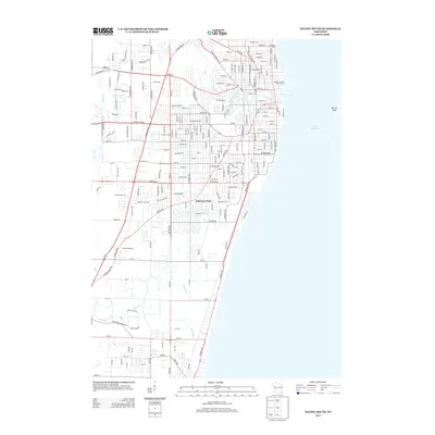
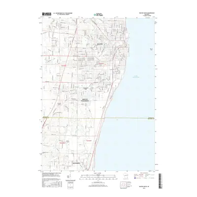
 1959 Racine1960 Print · USGSThe Lake Michigan shoreline between Racine and Kenosha in the late fifties was a bustling corridor of rail lines and rural schools. Genealogists can locate family landmarks like Mound Cemetery or trace the early days of aviation at Sylvania Airport and the Kenosha Airport.2 unique versions available
 - 1962 Map of Racine
 1962 Racine1962 Print · USGSThe Lake Michigan shoreline in the early sixties reveals a fascinating contrast between the dense industrial rail hubs of RACINE and CHICAGO and the forested dunes of Michigan. Local historians can trace military installations like Fort Sheridan or explore the numerous inland retreats around Paw Paw Lake and Sister Lakes.
 - 1980 Map of Racine, 1981 Print
 1980 Racine1981 Print · USGSThe Lake Michigan shoreline at the start of the 1980s reveals a bustling industrial corridor from Milwaukee to Kenosha. Genealogists and local historians can trace family roots through numerous sites like Forest Home Cem or locate former rail stops along the C & N W and C M St P & P lines.
 - 2010 Map of Pleasant Prairie, 2010 Print
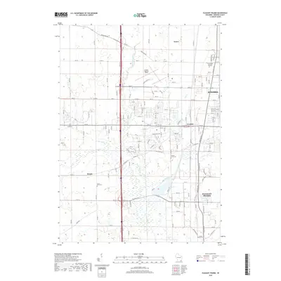
 2010 Pleasant Prairie2010 Print · USGSCovers Kenosha, including Pleasant Prairie, Somers, and other nearby areas
 - 2010 Map of Kenosha, 2010 Print
 2010 Kenosha2010 Print · USGSCovers Kenosha, including Pleasant Prairie, Somers, and other nearby areas
 - 2010 Map of Racine South, 2010 Print
 2010 Racine South2010 Print · USGSCovers Kenosha, including Racine, Mount Pleasant, and other nearby areas
 - 2013 Map of Racine South, 2013 Print
 2013 Racine South2013 Print · USGSCovers Kenosha, including Racine, Mount Pleasant, and other nearby areas
 - 2013 Map of Pleasant Prairie, 2013 Print
 2013 Pleasant Prairie2013 Print · USGSCovers Kenosha, including Pleasant Prairie, Somers, and other nearby areas
 - 2013 Map of Kenosha, 2013 Print
 2013 Kenosha2013 Print · USGSCovers Kenosha, including Pleasant Prairie, Somers, and other nearby areas
 - 2016 Map of Racine South, 2016 Print
 2016 Racine South2016 Print · USGSCovers Kenosha, including Racine, Mount Pleasant, and other nearby areas
 - 2016 Map of Pleasant Prairie, 2016 Print
 2016 Pleasant Prairie2016 Print · USGSCovers Kenosha, including Pleasant Prairie, Somers, and other nearby areas
 - 2016 Map of Kenosha, 2016 Print
 2016 Kenosha2016 Print · USGSCovers Kenosha, including Pleasant Prairie, Somers, and other nearby areas
 - 2018 Map of Kenosha, 2018 Print
 2018 Kenosha2018 Print · USGSCovers Kenosha, including Pleasant Prairie, Somers, and other nearby areas
 - 2018 Map of Pleasant Prairie, 2018 Print
 2018 Pleasant Prairie2018 Print · USGSCovers Kenosha, including Pleasant Prairie, Somers, and other nearby areas
 - 2018 Map of Racine South, 2018 Print
 2018 Racine South2018 Print · USGSCovers Kenosha, including Racine, Mount Pleasant, and other nearby areas
 - 2022 Map of Kenosha, 2022 Print
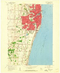
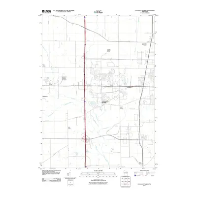
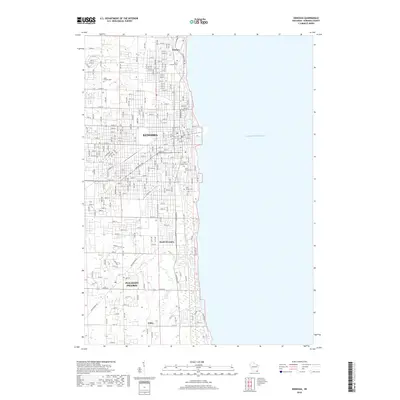
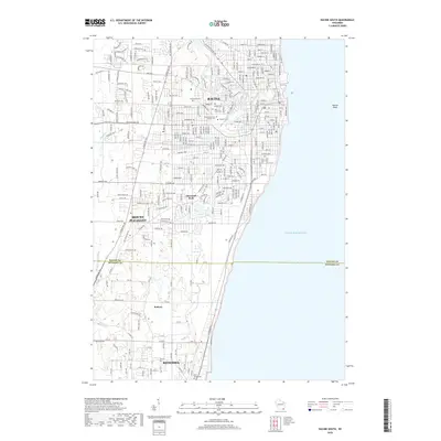
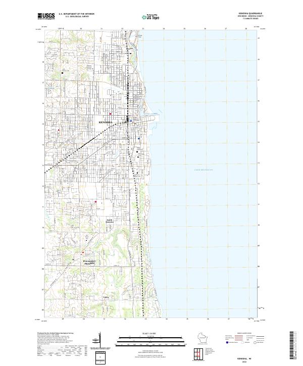 2022 Kenosha2022 Print · USGSKenosha and the surrounding lakefront townships are captured in detail as they appeared in the early 2020s. Researchers can trace ancestral plots at Saint George Cem or explore the institutional layouts of Carthage College and Pleasant Prairie.
 - 2022 Map of Pleasant Prairie, 2022 Print
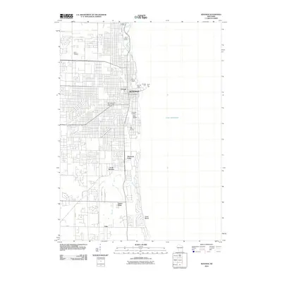
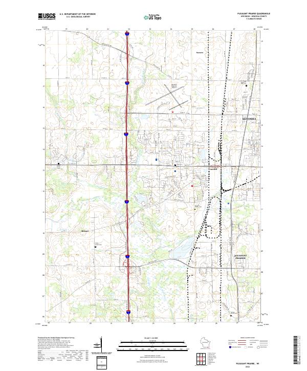 2022 Pleasant Prairie2022 Print · USGSPleasant Prairie and the outskirts of Kenosha are shown here in the early twenty-first century as suburban development integrates with traditional wetlands. Researchers can trace family history at Sunset Ridge Memorial Park Cem or locate the old crossroads of Truesdell and Bristol.
 - 2022 Map of Racine South, 2022 Print
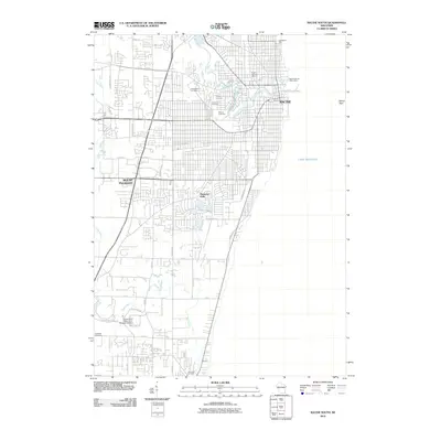
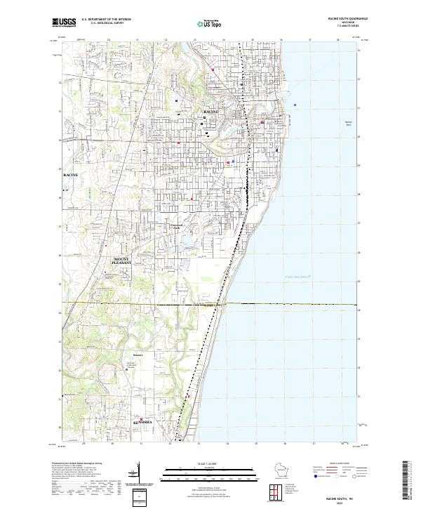 2022 Racine South2022 Print · USGSWisconsin's lakefront between Racine and Kenosha is captured here during a period of modern civic maturity. Genealogists and historians can trace the grounds of the Mound City Cem Soldiers Lot or the campus of the University of Wisconsin - Parkside.
End of results
Showing maps 1-24 of 24
Top cities near Kenosha
- Waukegan historical maps
- Racine historical maps
- Gurnee historical maps
- Round Lake Beach historical maps
- Mount Pleasant historical maps
- Caledonia historical maps
See more
Top neighborhoods of Kenosha
- Truesdell historical maps
- Prairie Lake historical maps
- Grant historical maps
- Isetts historical maps
- Uptown historical maps
- Villa Capri historical maps
See more
Frequently asked questions
- What are the different types of historical maps available for Kenosha?
- What is the oldest map of Kenosha?
- Where can I purchase historical maps of Kenosha for my home or office?
- Where can I download high-res historical maps of Kenosha?
- Are there historical topographic maps available for Kenosha?
- Is there historical aerial imagery available for Kenosha?
- Where are historical maps of Kenosha sourced from?