2022 Map of Pleasant Prairie
USGS Topo · Published 2022About this map
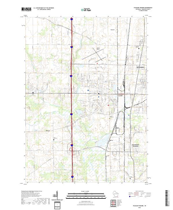
Pleasant Prairie and the western edge of Kenosha are defined by a landscape where residential expansion meets organized agricultural drainage and transport infrastructure. The Kenosha Regional Airport sits centrally, bordered by a grid of numbered streets and thoroughfares like Green Bay Rd and Burlington Rd. This modern survey illustrates the persistent hydraulic management of the region, visible through the Kilbourn Road Ditch and the meandering paths of the Root River and Des Plaines River.
Find a feature on this map
129 named features on this map. Tap any name to fly to it.
Don’t see what you’re looking for? This feature index may not catch every label — zoom into the map to look around manually.
Map Details
Editions of this 2022 Pleasant Prairie Map
This is the sole edition of this map. No revisions or reprints were ever made.