
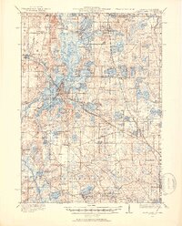
1920 Map of Grays Lake
USGS Topo · Published 1920About this map
The Fox River and its intricate network of interconnected glacial lakes dominate this corner of Illinois and Wisconsin shortly after the First World War. This landscape is defined by the proximity of the Chicago Milwaukee and St Paul railroad, which facilitated the growth of lakeside communities like Antioch, Lake Villa, and Grays Lake. The map reveals a high density of one-room schoolhouses, such as the English Prairie School and Glynch School, suggesting a period of thriving rural educational districts before the consolidation of the mid-20th century.
Find a feature on this map
125 named features on this map. Tap any name to fly to it.
Don’t see what you’re looking for? This feature index may not catch every label — zoom into the map to look around manually.
Map Details
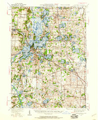
Editions of this 1920 Grays Lake Map
3 editions found
Other maps of this area

1892 · Racine
USGS Topo · 1:62,500

1893 · Silver Lake
USGS Topo · 1:62,500

1893 · Geneva
USGS Topo · 1:62,500

1900 · Highwood
USGS Topo · 1:62,500

1904 · Lake Geneva
USGS Topo · 1:62,500

1905 · Racine
USGS Topo · 1:62,500

1906 · Silver Lake
USGS Topo · 1:62,500

1906 · Lake Geneva
USGS Topo · 1:62,500

1906 · Waukegan
USGS Topo · 1:62,500

1908 · Waukegan
USGS Topo · 1:62,500