
1900 Map of Highwood
USGS Topo · Published 1900About this map
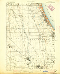
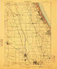
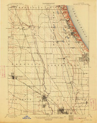
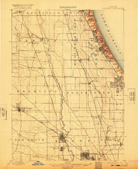
The Lake Michigan shoreline and the upper reaches of the Desplaines River define the layout of Lake and Cook counties at the close of the 19th century. A dense network of competing rail lines, including the Chicago and Northwestern R.R. and the Wisconsin Central R.R., dictates the development of early North Shore and northwestern suburbs. While Fort Sheridan occupies a prominent military position on the coastal bluffs, the interior is a mix of established village grids like Arlington Heights and rural hamlets such as Aptakisic and Half Day. The map reveals the transitional nature of the landscape, where towns like Shermerville and Niles Center appear as small clusters before the massive suburban expansion of the 20th century. Genealogists can trace early homesteads and rail stops along the Chicago Milwaukee and St. Paul R.R. and the Elgin Joliet & Eastern R.R.
Find a feature on this map
49 named features on this map. Tap any name to fly to it.
Don’t see what you’re looking for? This feature index may not catch every label — zoom into the map to look around manually.
Map Details
Editions of this 1900 Highwood Map
5 editions found
Other maps of this area

1889 · Chicago
USGS Topo · 1:62,500

1891 · Chicago
USGS Topo · 1:62,500

1891 · Riverside
USGS Topo · 1:62,500

1893 · Riverside
USGS Topo · 1:62,500

1899 · Evanston
USGS Topo · 1:62,500

1900 · Chicago
USGS Topo · 1:62,500

1900 · Riverside
USGS Topo · 1:62,500

1901 · Riverside
USGS Topo · 1:62,500

1901 · Chicago
USGS Topo · 1:62,500

1906 · Waukegan
USGS Topo · 1:62,500