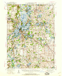
1920 Map of Grays Lake
USGS Topo · Published 1958About this map
Glacial lakes and waterways dominate this portion of northeastern Illinois, where the Fox River system creates a complex network of bays and points. The landscape is defined by its water bodies, including Lake Marie, Grass Lake, and Pistakee Lake, which supported early recreation and lakeside settlements like Fox Lake and Antioch. Small rural schoolhouses, such as Gavin School and Big Hollow School, are scattered throughout the agricultural hinterland between the larger villages.
Find a feature on this map
112 named features on this map. Tap any name to fly to it.
Don’t see what you’re looking for? This feature index may not catch every label — zoom into the map to look around manually.
Map Details
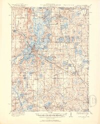
Editions of this 1920 Grays Lake Map
3 editions found

Other maps of this area

1892 · Racine
USGS Topo · 1:62,500

1893 · Silver Lake
USGS Topo · 1:62,500

1893 · Geneva
USGS Topo · 1:62,500

1900 · Highwood
USGS Topo · 1:62,500

1904 · Lake Geneva
USGS Topo · 1:62,500

1905 · Racine
USGS Topo · 1:62,500

1906 · Silver Lake
USGS Topo · 1:62,500

1906 · Lake Geneva
USGS Topo · 1:62,500

1906 · Waukegan
USGS Topo · 1:62,500

1908 · Waukegan
USGS Topo · 1:62,500