
1908 Map of Waukegan
USGS Topo · Published 1908About this map
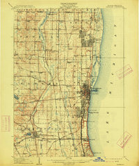
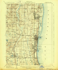
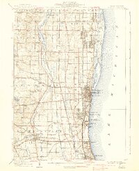
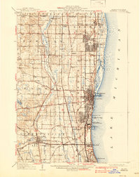
The Lake Michigan shoreline and the upper reaches of the Des Plaines River define this corner of northeastern Illinois just after the turn of the century. The landscape is a dense network of early crossroads and rural centers, including Zion City, Gurnee, and Winthrop Harbor. Heavy industrial and maritime activity is centered at Waukegan, where the Waukegan River meets the lake. The map reveals an intricate transportation system, showing the Chicago and Northwestern Ry and the Chicago and Milwaukee Electric RR running parallel to the coast, providing a glimpse into the era's reliance on both steam and electric rail for regional connectivity. Farther inland, the rural character is punctuated by social and educational landmarks like Grange Hall, St. Marys Academy, and numerous neighborhood schools like Waterbury School and Blanchard School.
Find a feature on this map
96 named features on this map. Tap any name to fly to it.
Don’t see what you’re looking for? This feature index may not catch every label — zoom into the map to look around manually.
Map Details
Editions of this 1908 Waukegan Map
5 editions found
Other maps of this area

1892 · Racine
USGS Topo · 1:62,500

1893 · Silver Lake
USGS Topo · 1:62,500

1899 · Evanston
USGS Topo · 1:62,500

1900 · Highwood
USGS Topo · 1:62,500

1905 · Racine
USGS Topo · 1:62,500

1906 · Silver Lake
USGS Topo · 1:62,500

1906 · Waukegan
USGS Topo · 1:62,500

1920 · Grays Lake
USGS Topo · 1:62,500

1923 · Grays Lake
USGS Topo · 1:62,500

1923 · Barrington
USGS Topo · 1:62,500