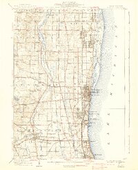
1908 Map of Waukegan
USGS Topo · Published 1939About this map
Industrial and military growth along Lake Michigan define this landscape in the early twentieth century. The shoreline is punctuated by significant institutional developments, including the Great Lakes U S Naval Training Station and Camp Logan, reflecting the region's increasing importance to national defense. To the west, the Des Plaines River meanders through a territory transitioning from rural corners to established towns like Libertyville and Gurnee.
Find a feature on this map
90 named features on this map. Tap any name to fly to it.
Don’t see what you’re looking for? This feature index may not catch every label — zoom into the map to look around manually.
Map Details
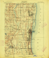
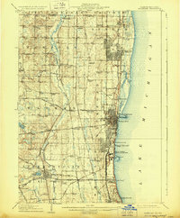
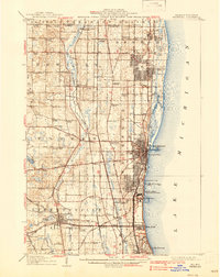
Editions of this 1908 Waukegan Map
5 editions found
Other maps of this area

1892 · Racine
USGS Topo · 1:62,500

1893 · Silver Lake
USGS Topo · 1:62,500

1899 · Evanston
USGS Topo · 1:62,500

1900 · Highwood
USGS Topo · 1:62,500

1905 · Racine
USGS Topo · 1:62,500

1906 · Silver Lake
USGS Topo · 1:62,500

1906 · Waukegan
USGS Topo · 1:62,500

1908 · Waukegan
USGS Topo · 1:62,500

1920 · Grays Lake
USGS Topo · 1:62,500

1923 · Grays Lake
USGS Topo · 1:62,500