
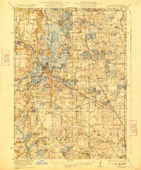
1923 Map of Grays Lake
USGS Topo · Published 1923About this map
A dense network of glacial lakes and marshy lowlands defines this landscape along the Illinois and Wisconsin border, as surveyed in the years following the Great War. The Fox Lake region emerges as a primary hub of settlement and recreation, surrounded by a complex geography of water bodies including Nippersink Lake, Grass Lake, and Lake Marie. Further east, established villages like Lake Villa and Grays Lake are situated along the rail lines that fueled the area's growth as a seasonal destination for city dwellers.
Find a feature on this map
135 named features on this map. Tap any name to fly to it.
Don’t see what you’re looking for? This feature index may not catch every label — zoom into the map to look around manually.
Map Details
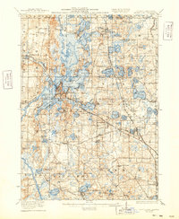
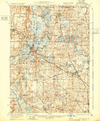
Editions of this 1923 Grays Lake Map
4 editions found
Other maps of this area

1892 · Racine
USGS Topo · 1:62,500

1893 · Silver Lake
USGS Topo · 1:62,500

1893 · Geneva
USGS Topo · 1:62,500

1900 · Highwood
USGS Topo · 1:62,500

1904 · Lake Geneva
USGS Topo · 1:62,500

1905 · Racine
USGS Topo · 1:62,500

1906 · Silver Lake
USGS Topo · 1:62,500

1906 · Lake Geneva
USGS Topo · 1:62,500

1906 · Waukegan
USGS Topo · 1:62,500

1908 · Waukegan
USGS Topo · 1:62,500