2000s (21st Century) Maps of Kewaunee, Wisconsin
Explore 10 historic maps of Kewaunee from the 2000s (21st Century). These maps offer a rare glimpse into what life looked like during the 2000s — showing old roads, neighborhoods, homes, and landmarks that have changed or disappeared over time.
Whether you're researching your family's past, planning a metal detecting trip, or studying how Kewaunee's landscape evolved across the 2000s, these high-resolution maps are a powerful tool for exploring the history of this region.
- Focus on a specific era: All maps on this page are from the 2000s, giving you a focused view of this time period.
- See what’s changed: Compare century-old streets, trails, and buildings to today's modern landscape using overlays and satellite layers.
- Research with precision: Use these maps for genealogy, historical research, land use analysis, or educational projects.
- View, download, or print: Maps are fully viewable online in high resolution, and can be downloaded or printed for your own records.
Start exploring Kewaunee's history through authentic maps from the 2000s. This is your window into the past.
Kewaunee, WI maps
(10)- 2010 Map of Kewaunee, 2010 Print
 2010 Kewaunee2010 Print · USGSCovers Kewaunee, including Carlton, Birchwood, and other nearby areas
 - 2010 Map of Kewaunee OE E, 2010 Print
 2010 Kewaunee OE E2010 Print · USGSCovers Kewaunee, including Pierce, West Kewaunee, and other nearby areas
 - 2013 Map of Kewaunee OE E, 2013 Print
 2013 Kewaunee OE E2013 Print · USGSCovers Kewaunee, including Pierce, West Kewaunee, and other nearby areas
 - 2013 Map of Kewaunee, 2013 Print
 2013 Kewaunee2013 Print · USGSCovers Kewaunee, including Carlton, Birchwood, and other nearby areas
 - 2015 Map of Kewaunee OE E, 2015 Print
 2015 Kewaunee OE E2015 Print · USGSCovers Kewaunee, including Pierce, West Kewaunee, and other nearby areas
 - 2015 Map of Kewaunee, 2015 Print
 2015 Kewaunee2015 Print · USGSCovers Kewaunee, including Carlton, Birchwood, and other nearby areas
 - 2018 Map of Kewaunee OE E, 2018 Print
 2018 Kewaunee OE E2018 Print · USGSCovers Kewaunee, including Pierce, West Kewaunee, and other nearby areas
 - 2018 Map of Kewaunee, 2018 Print
 2018 Kewaunee2018 Print · USGSCovers Kewaunee, including Carlton, Birchwood, and other nearby areas
 - 2022 Map of Kewaunee, 2022 Print
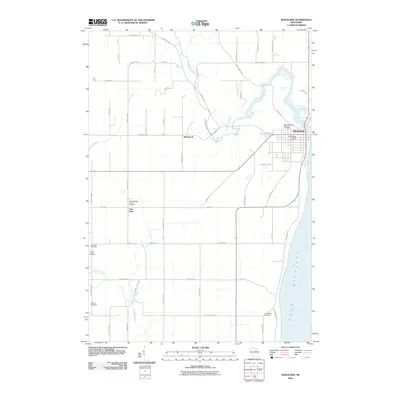
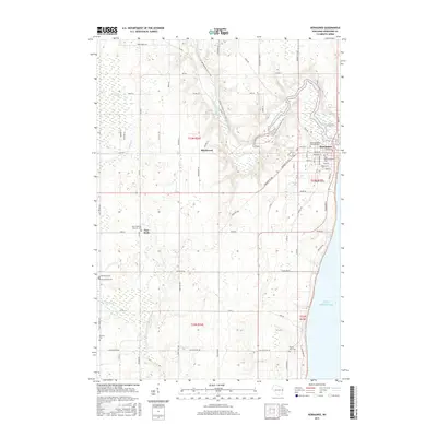
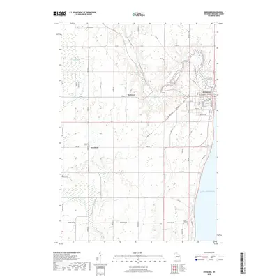
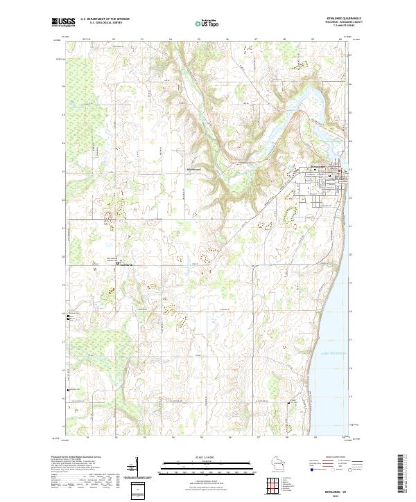 2022 Kewaunee2022 Print · USGSThe Lake Michigan shoreline and the mouth of the Kewaunee River define this coastal community during the early twenty-first century. Genealogists and historians can locate numerous burial sites and civic landmarks like West Kewaunee Township Cem and the Kewaunee County Courthouse.
 - 2022 Map of Kewaunee OE E, 2022 Print
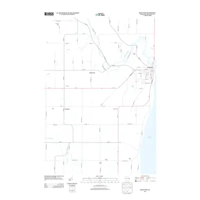
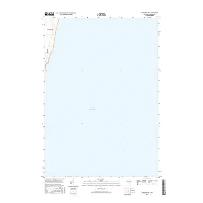
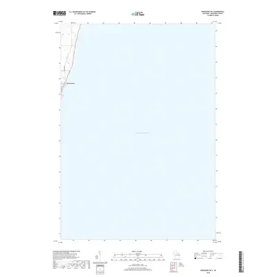
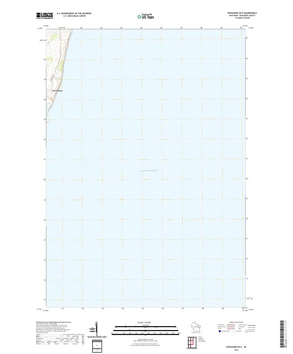 2022 Kewaunee OE E2022 Print · USGSKewaunee’s lakeside character is captured in the early 2020s, showing the town's thin profile against the coast. Researchers can trace the layout of waterfront roads like Lakeshore Dr and Hathaway Dr or follow the offshore Water Trail.
End of results
Showing maps 1-10 of 10
Top cities near Kewaunee
- Algoma historical maps
- Luxemburg historical maps
- Mishicot historical maps
- Brussels historical maps
- Lincoln historical maps
- Casco historical maps
See more
Frequently asked questions
- What are the different types of historical maps available for Kewaunee?
- What is the oldest map of Kewaunee?
- Where can I purchase historical maps of Kewaunee for my home or office?
- Where can I download high-res historical maps of Kewaunee?
- Are there historical topographic maps available for Kewaunee?
- Is there historical aerial imagery available for Kewaunee?
- Where are historical maps of Kewaunee sourced from?