2010s Maps of Lafayette County, Wisconsin
Explore 72 historic maps of Lafayette County from the 2010s. These maps offer a rare glimpse into what life looked like during the 2010s — showing old roads, neighborhoods, homes, and landmarks that have changed or disappeared over time.
Whether you're researching your family's past, planning a metal detecting trip, or studying how Lafayette County's landscape evolved across the 2010s, these high-resolution maps are a powerful tool for exploring the history of this region.
- Focus on a specific era: All maps on this page are from the 2010s, giving you a focused view of this time period.
- See what’s changed: Compare century-old streets, trails, and buildings to today's modern landscape using overlays and satellite layers.
- Research with precision: Use these maps for genealogy, historical research, land use analysis, or educational projects.
- View, download, or print: Maps are fully viewable online in high resolution, and can be downloaded or printed for your own records.
Start exploring Lafayette County's history through authentic maps from the 2010s. This is your window into the past.
Lafayette County, WI maps
(72)- 2010 Map of Rewey, 2010 Print
 2010 Rewey2010 Print · USGSGrant County farmland and the rising elevations of the Platte Mounds characterize this area during the early twenty-first century. Genealogists and local historians can locate the Walnut Grove School and rural burials at McReynolds Cemetery or Lydia Cemetery.
 - 2010 Map of Darlington, 2010 Print
 2010 Darlington2010 Print · USGSDarlington and the surrounding Lafayette County countryside are captured here in the early twenty-first century as the regional hub for trade and transport. Researchers can locate family plots at Holy Rosary Cemetery or trace the winding course of the Pecatonica River past the settlement of Red Rock.
 - 2010 Map of Shullsburg, 2010 Print
 2010 Shullsburg2010 Print · USGSShullsburg and the surrounding Wisconsin-Illinois borderlands are documented here just as the modern decade began. Researchers can locate long-standing family burial sites like Saint Matthews Cemetery or trace the mining history of the Calumet and Hecla Mine.
 - 2010 Map of Waldwick, 2010 Print
 2010 Waldwick2010 Print · USGSThis Iowa County landscape in the early twenty-first century reveals a deeply rooted rural community shaped by its waterways and winding roads. Researchers can locate family sites near Jackson Cemetery or trace the path of Otter Creek past Waldwick.
 - 2010 Map of New Diggings, 2010 Print
 2010 New Diggings2010 Print · USGSLafayette County was still defined by its lead-mining roots and rural hamlets at the start of the twenty-first century. Genealogists and historians can trace family-named roads and landmarks, from the Masonic Cemetery in New Diggings to the Blackstone Mine near White Oak.
 - 2010 Map of Calamine, 2010 Print
 2010 Calamine2010 Print · USGSThe Pecatonica River valley in southern Wisconsin is documented here in the early twenty-first century. Genealogists and local historians can locate Kenneltown Cemetery, Schwartz Cemetery, and the small settlement of Truman.
 - 2010 Map of Mineral Point, 2010 Print
 2010 Mineral Point2010 Print · USGSMineral Point and its surroundings are documented in 2010, showing the modern street layout and the rural reaches of Iowa County. Researchers can trace family history at Graceland Cemetery or locate landmarks like Slateford and Hutchinson Dam.
 - 2010 Map of Belmont, 2010 Print
 2010 Belmont2010 Print · USGSLafayette County agricultural lands and mining history are captured here in the early twenty-first century. Genealogists and historians can trace family roots through the Saint Peters Catholic Cemetery or locate the industrial heritage of the Leo V Mine and New Dell Mine.
 - 2010 Map of Argyle, 2010 Print
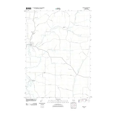 2010 Argyle2010 Print · USGSLafayette County farmland and river valley settlements are captured here during the first decade of the millennium. Genealogists can locate family sites near Argyle and Woodford, or trace ancestors at Calvary Cemetery, Woodlawn Cemetery, and Lewis Cemetery.
 - 2010 Map of South Wayne, 2010 Print
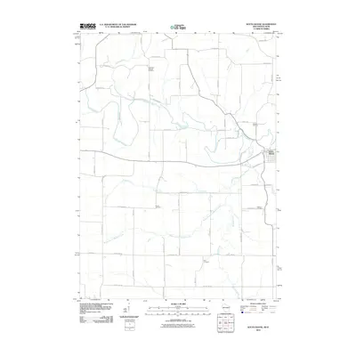 2010 South Wayne2010 Print · USGSThe Illinois-Wisconsin border country comes into focus in the early 2000s, centered on the Pecatonica River valley. Researchers can trace family legacies through numerous burial sites like West Wiota Lutheran Cemetery, Brown Cemetery, and Zion Cemetery.
 - 2010 Map of Wiota, 2010 Print
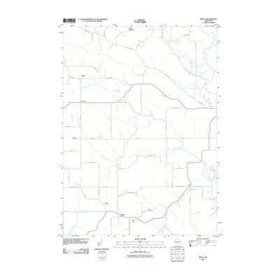 2010 Wiota2010 Print · USGSLafayette County’s rural character is preserved in this study from the early 2000s, showing the agricultural heart of southern Wisconsin. Genealogists can locate family landmarks such as Andrews Cemetery and Lamont Cemetery or trace the drainage of Apple Branch.
 - 2010 Map of Mifflin, 2010 Print
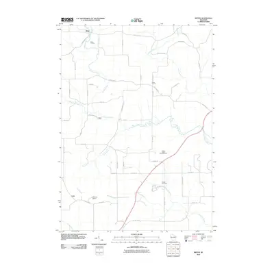 2010 Mifflin2010 Print · USGSIowa County at the start of the 2010s reveals a well-established rural landscape shaped by the Pecatonica River and centuries of family farming. Genealogists can locate family names in Mifflin Cemetery and Peniel Cemetery or trace the terrain around Belmont Mound.
 - 2010 Map of Platteville, 2010 Print
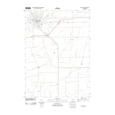 2010 Platteville2010 Print · USGSGrant County is captured in the early twenty-first century as it balances its mining heritage with modern growth. Genealogists and local historians can trace family locations near the Homestead Mine, Smelser Cemetery, and the historic crossroads of Bigpatch.
 - 2010 Map of Cuba City, 2010 Print
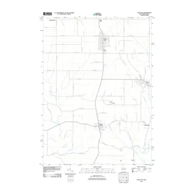 2010 Cuba City2010 Print · USGSThe mining and farming traditions of southwest Wisconsin are captured here in the early twenty-first century. Genealogists and local researchers can locate family sites near Mount Pleasant Cemetery or trace the legacy of the Burkett Mine and Northwestern Mine.
 - 2010 Map of Apple River, 2010 Print
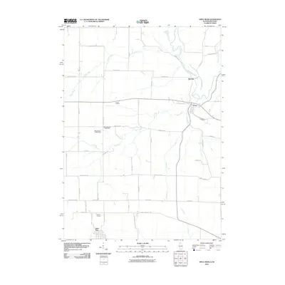 2010 Apple River2010 Print · USGSCrossing the Illinois and Wisconsin border in the early 2000s, this area captures a landscape of river-valley settlements and quiet rural cemeteries. Researchers can trace the namesake community of Apple River and locate historic burial grounds like Highland Cemetery and Kingsley Cemetery.
 - 2010 Map of Blanchardville, 2010 Print
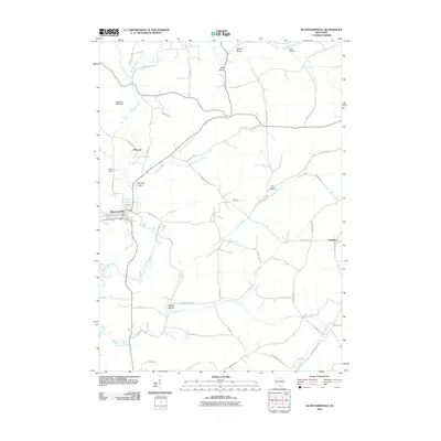 2010 Blanchardville2010 Print · USGSBlanchardville and its surrounding valleys are captured here at the start of the 2010s, showing the town's position on Gordon Creek. Researchers can trace local lineage through sites like Ula Cemetery or locate old homesteads near Moscow and Postville.
 - 2010 Map of Browntown, 2010 Print
 2010 Browntown2010 Print · USGSThe Pecatonica River valley near the Wisconsin-Illinois border reveals a landscape of enduring rural settlements and family-named landmarks. Genealogists can trace local heritage through several burial sites like Saucerman Cemetery and the riverfront Martin Cemetery.
 - 2010 Map of Yellowstone Lake, 2010 Print
 2010 Yellowstone Lake2010 Print · USGSThe rural Iowa County landscape near Waldwick is captured here in the early twenty-first century, centered on the waters of Yellowstone Lake. Genealogists and local historians can trace family ties at the Saint Michaels Catholic Cemetery or locate the historic settlement of Yellowstone.
 - 2012 Map of Apple River, 2012 Print
 2012 Apple River2012 Print · USGSThe Illinois-Wisconsin borderlands appear here as a thriving dairy corridor in the early twenty-first century. Genealogists and local historians can trace family-named operations like Gill Brothers Dairy and Stietz Farms or locate burials at Kingsley Cem.
 - 2013 Map of Argyle, 2013 Print
 2013 Argyle2013 Print · USGSThe village of Argyle and the surrounding Lafayette County countryside are shown here in the early 2010s. Genealogists can trace family lands near Puddledock Hollow, Big Valley Farm, and the settlement of Woodford.
 - 2013 Map of Blanchardville, 2013 Print
 2013 Blanchardville2013 Print · USGSThe village of Blanchardville and the surrounding Driftless-area valleys are captured here in the early twenty-first century. Researchers can trace the winding East Br Pecatonica River and locate small communities like Moscow, Postville, and Yankee Hollow.
 - 2013 Map of Browntown, 2013 Print
 2013 Browntown2013 Print · USGSThe Wisconsin and Illinois borderlands come into focus in the early 2010s as the Pecatonica River meanders past quiet farmsteads. Genealogists and local historians can trace family-named routes and landmarks like Lattice Bridge, Thorson Farm, and Martintown.
 - 2013 Map of Darlington, 2013 Print
 2013 Darlington2013 Print · USGSWisconsin's dairy heartland comes into focus here during the early twenty-first century, centered on the riverfront city of Darlington. Genealogists and local historians can trace family-named lands like Siegenthaler Dairy, Rielly Farm, and Thunderbranch Acres along the Pecatonica River.
 - 2013 Map of Mifflin, 2013 Print
 2013 Mifflin2013 Print · USGSIowa County farmland and river valleys are captured here in the early twenty-first century as modern highways intersect with older rural landmarks. Researchers can locate the historic Mifflin settlement and trace family-named routes like Harker Station Rd and Log Town Rd near the Pecatonica River.
 - 2013 Map of Belmont, 2013 Print
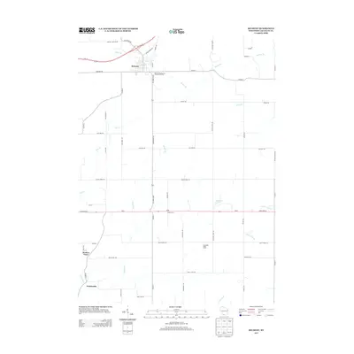 2013 Belmont2013 Print · USGSLafayette County agricultural life is captured here in the early twenty-first century, centered on the historic village of Belmont. Family-named landmarks and rural outposts are easy to trace, from Wolters Farm and Darlington Ridge Farms to the community at Meekers Grove.
Showing maps 1-25 of 72
Top cities of Lafayette County
- Darlington historical maps
- Shullsburg historical maps
- Benton historical maps
- Belmont historical maps
- Wiota historical maps
- Argyle historical maps
See more
Frequently asked questions
- What are the different types of historical maps available for Lafayette County?
- What is the oldest map of Lafayette County?
- Where can I purchase historical maps of Lafayette County for my home or office?
- Where can I download high-res historical maps of Lafayette County?
- Are there historical topographic maps available for Lafayette County?
- Is there historical aerial imagery available for Lafayette County?
- Where are historical maps of Lafayette County sourced from?