2000s (21st Century) Maps of Argyle, Wisconsin
Explore 20 historic maps of Argyle from the 2000s (21st Century). These maps offer a rare glimpse into what life looked like during the 2000s — showing old roads, neighborhoods, homes, and landmarks that have changed or disappeared over time.
Whether you're researching your family's past, planning a metal detecting trip, or studying how Argyle's landscape evolved across the 2000s, these high-resolution maps are a powerful tool for exploring the history of this region.
- Focus on a specific era: All maps on this page are from the 2000s, giving you a focused view of this time period.
- See what’s changed: Compare century-old streets, trails, and buildings to today's modern landscape using overlays and satellite layers.
- Research with precision: Use these maps for genealogy, historical research, land use analysis, or educational projects.
- View, download, or print: Maps are fully viewable online in high resolution, and can be downloaded or printed for your own records.
Start exploring Argyle's history through authentic maps from the 2000s. This is your window into the past.
Argyle, WI maps
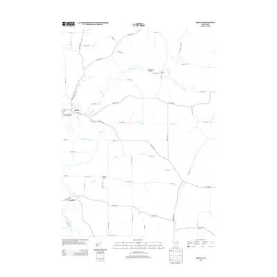
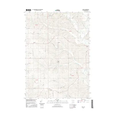
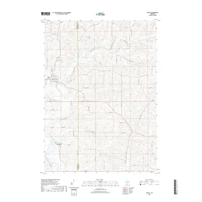
(20)- 2010 Map of Argyle, 2010 Print
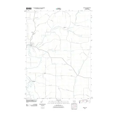 2010 Argyle2010 Print · USGSCovers Argyle, including Wiota, Woodford, and other nearby areas
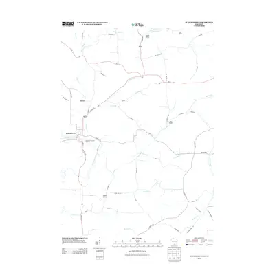
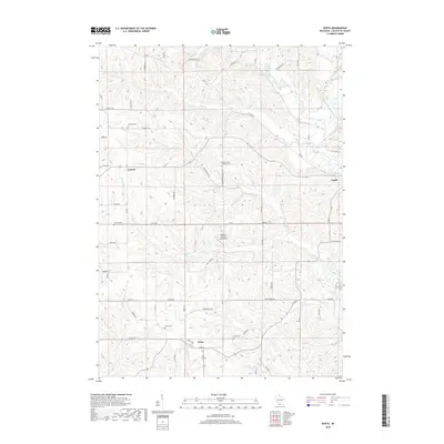
 - 2010 Map of Wiota, 2010 Print
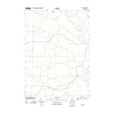 2010 Wiota2010 Print · USGSCovers Argyle, including Wiota, Fayette, and other nearby areas
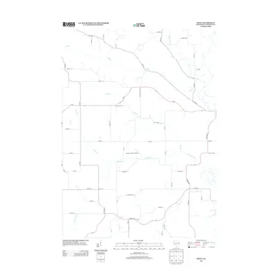
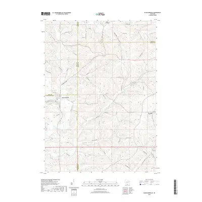
 - 2010 Map of Blanchardville, 2010 Print
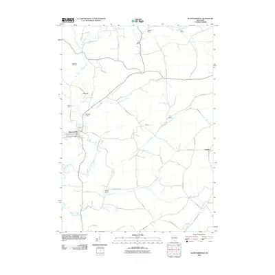 2010 Blanchardville2010 Print · USGSCovers Argyle, including Blanchardville, Perry, and other nearby areas
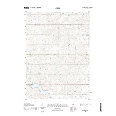
 - 2010 Map of Yellowstone Lake, 2010 Print
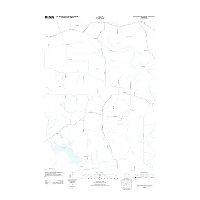
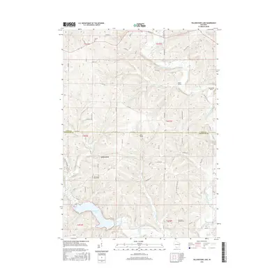
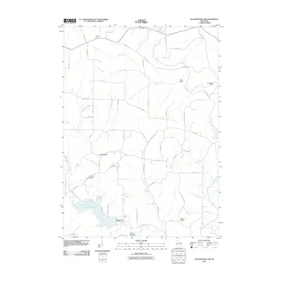 2010 Yellowstone Lake2010 Print · USGSCovers Argyle, including Waldwick, Fayette, and other nearby areas
 - 2013 Map of Argyle, 2013 Print
 2013 Argyle2013 Print · USGSCovers Argyle, including Wiota, Woodford, and other nearby areas
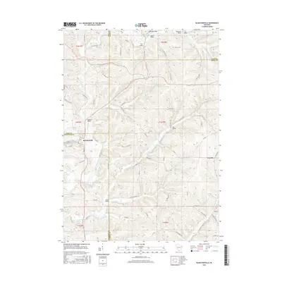
 - 2013 Map of Blanchardville, 2013 Print
 2013 Blanchardville2013 Print · USGSCovers Argyle, including Blanchardville, Perry, and other nearby areas
 - 2013 Map of Yellowstone Lake, 2013 Print
 2013 Yellowstone Lake2013 Print · USGSCovers Argyle, including Waldwick, Fayette, and other nearby areas
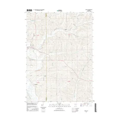
 - 2013 Map of Wiota, 2013 Print
 2013 Wiota2013 Print · USGSCovers Argyle, including Wiota, Fayette, and other nearby areas
 - 2016 Map of Yellowstone Lake, 2016 Print
 2016 Yellowstone Lake2016 Print · USGSCovers Argyle, including Waldwick, Fayette, and other nearby areas
 - 2016 Map of Argyle, 2016 Print
 2016 Argyle2016 Print · USGSCovers Argyle, including Wiota, Woodford, and other nearby areas
 - 2016 Map of Blanchardville, 2016 Print
 2016 Blanchardville2016 Print · USGSCovers Argyle, including Blanchardville, Perry, and other nearby areas
 - 2016 Map of Wiota, 2016 Print
 2016 Wiota2016 Print · USGSCovers Argyle, including Wiota, Fayette, and other nearby areas
 - 2018 Map of Argyle, 2018 Print
 2018 Argyle2018 Print · USGSCovers Argyle, including Wiota, Woodford, and other nearby areas
 - 2018 Map of Yellowstone Lake, 2018 Print
 2018 Yellowstone Lake2018 Print · USGSCovers Argyle, including Waldwick, Fayette, and other nearby areas
 - 2018 Map of Wiota, 2018 Print
 2018 Wiota2018 Print · USGSCovers Argyle, including Wiota, Fayette, and other nearby areas
 - 2018 Map of Blanchardville, 2018 Print
 2018 Blanchardville2018 Print · USGSCovers Argyle, including Blanchardville, Perry, and other nearby areas
 - 2022 Map of Blanchardville, 2022 Print
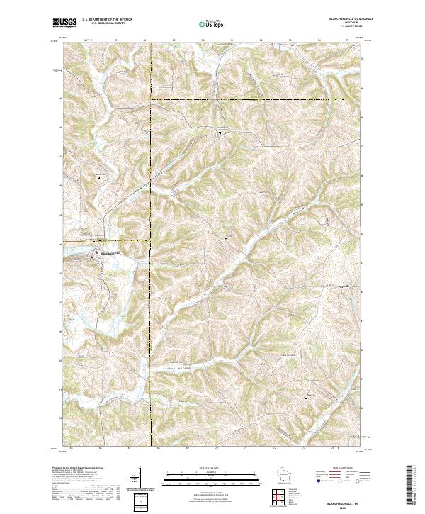 2022 Blanchardville2022 Print · USGSThe Driftless Area of southern Wisconsin is captured here during its modern agricultural era, centered on the river town of Blanchardville. Genealogists and local historians can trace legacy land patterns through landmarks like Moscow Cem, Postville, and the York Memorial Lutheran Cem.
 - 2022 Map of Yellowstone Lake, 2022 Print
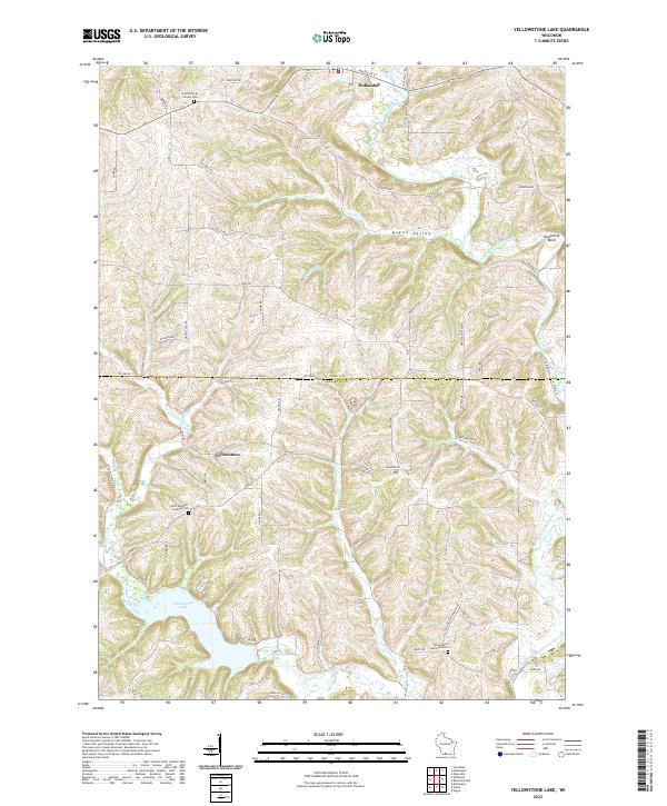 2022 Yellowstone Lake2022 Print · USGSIowa and Lafayette counties appear here in the early 2020s, showing a rural landscape shaped by the Pecatonica River. Researchers can trace local lineage at Saint Michaels Catholic Cem or explore the waters of Yellowstone Lake.
 - 2022 Map of Wiota, 2022 Print
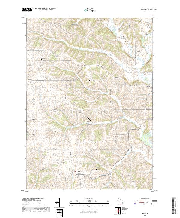 2022 Wiota2022 Print · USGSLafayette County’s rolling ridge-and-valley landscape is documented here in the early twenty-first century, showing a rural community tied to its waterways. You can trace family history at sites like Miller Cem or Lamont Cem and follow the paths of the Yellowstone River and Silver Spring Cr.
 - 2022 Map of Argyle, 2022 Print
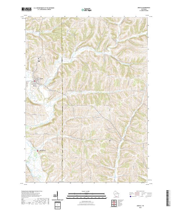 2022 Argyle2022 Print · USGSThe Lafayette and Green County borderlands appear here in the early 2020s, defined by the winding East Branch Pecatonica River. Family historians can locate several rural burial grounds, including Old Argyle Cem and Lewis Cem, alongside the village centers of Argyle and Woodford.
End of results
Showing maps 1-20 of 20
Top cities near Argyle
- Dodgeville historical maps
- Darlington historical maps
- Warren historical maps
- Clarno historical maps
- Wiota historical maps
- Argyle historical maps
See more
Frequently asked questions
- What are the different types of historical maps available for Argyle?
- What is the oldest map of Argyle?
- Where can I purchase historical maps of Argyle for my home or office?
- Where can I download high-res historical maps of Argyle?
- Are there historical topographic maps available for Argyle?
- Is there historical aerial imagery available for Argyle?
- Where are historical maps of Argyle sourced from?