2020s Maps of Darlington, Wisconsin
Explore 5 historic maps of Darlington from the 2020s. These maps offer a rare glimpse into what life looked like during the 2020s — showing old roads, neighborhoods, homes, and landmarks that have changed or disappeared over time.
Whether you're researching your family's past, planning a metal detecting trip, or studying how Darlington's landscape evolved across the 2020s, these high-resolution maps are a powerful tool for exploring the history of this region.
- Focus on a specific era: All maps on this page are from the 2020s, giving you a focused view of this time period.
- See what’s changed: Compare century-old streets, trails, and buildings to today's modern landscape using overlays and satellite layers.
- Research with precision: Use these maps for genealogy, historical research, land use analysis, or educational projects.
- View, download, or print: Maps are fully viewable online in high resolution, and can be downloaded or printed for your own records.
Start exploring Darlington's history through authentic maps from the 2020s. This is your window into the past.
Darlington, WI maps
(5)- 2021 Map of Apple River, 2021 Print
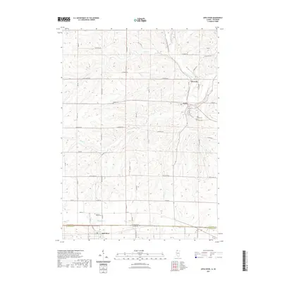 2021 Apple River2021 Print · USGSCovers Darlington, including Warren, Wiota, and other nearby areas
 - 2022 Map of Calamine, 2022 Print
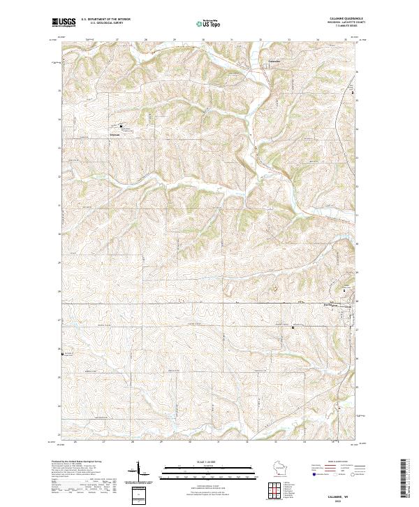 2022 Calamine2022 Print · USGSLafayette County's rural heartland is documented here in the early twenty-first century as the Pecatonica River winds past small settlements. Genealogists and historians can locate family landmarks like Ray Pilling Cem, Schwartz Cem, and the community at Truman.
 - 2022 Map of Darlington, 2022 Print
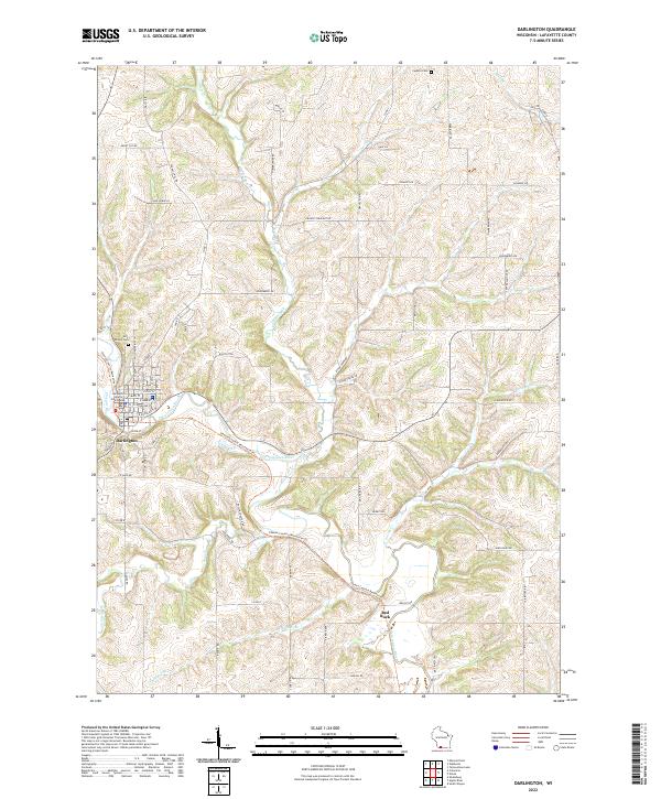 2022 Darlington2022 Print · USGSLafayette County in the early twenty-first century maintains its deep-rooted agricultural character around the river-valley seat of Darlington. Researchers can trace land tracts near Red Rock or locate ancestral sites at Holy Rosary Cem and Fayette Cem.
 - 2022 Map of Shullsburg, 2022 Print
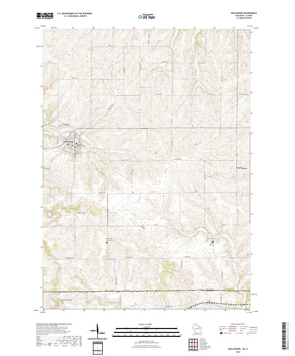 2022 Shullsburg2022 Print · USGSSouthwestern Wisconsin’s lead-mining heritage country is captured here in the contemporary era. Researchers can trace family history through sites like Saint Matthews Old Catholic Cem or explore the rural landscape around Dunbarton and Charles Mound.
 - 2024 Map of Apple River, 2024 Print
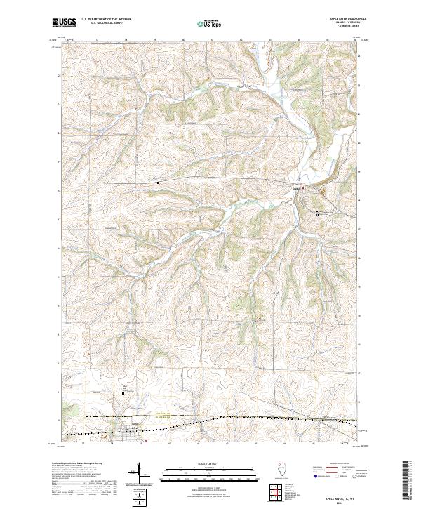 2024 Apple River2024 Print · USGSThe Illinois and Wisconsin borderlands come into focus in this recent study of the area surrounding Apple River and Gratiot. Researchers can trace local heritage through numerous landmarks like West Ella Highland Cem and the banks of the Pecatonica River.
End of results
Showing maps 1-5 of 5
Top cities near Darlington
- Mineral Point historical maps
- Darlington historical maps
- Warren historical maps
- Shullsburg historical maps
- Belmont historical maps
- Wiota historical maps
See more
Top neighborhoods of Darlington
Frequently asked questions
- What are the different types of historical maps available for Darlington?
- What is the oldest map of Darlington?
- Where can I purchase historical maps of Darlington for my home or office?
- Where can I download high-res historical maps of Darlington?
- Are there historical topographic maps available for Darlington?
- Is there historical aerial imagery available for Darlington?
- Where are historical maps of Darlington sourced from?