2010s Maps of Ackley, Wisconsin
Explore 24 historic maps of Ackley from the 2010s. These maps offer a rare glimpse into what life looked like during the 2010s — showing old roads, neighborhoods, homes, and landmarks that have changed or disappeared over time.
Whether you're researching your family's past, planning a metal detecting trip, or studying how Ackley's landscape evolved across the 2010s, these high-resolution maps are a powerful tool for exploring the history of this region.
- Focus on a specific era: All maps on this page are from the 2010s, giving you a focused view of this time period.
- See what’s changed: Compare century-old streets, trails, and buildings to today's modern landscape using overlays and satellite layers.
- Research with precision: Use these maps for genealogy, historical research, land use analysis, or educational projects.
- View, download, or print: Maps are fully viewable online in high resolution, and can be downloaded or printed for your own records.
Start exploring Ackley's history through authentic maps from the 2010s. This is your window into the past.
Ackley, WI maps
(24)- 2010 Map of Doering, 2010 Print
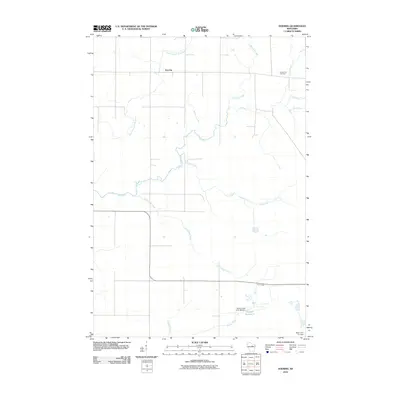 2010 Doering2010 Print · USGSLincoln County’s rural northern landscape is captured here in the early 2000s, showcasing a network of rivers and small settlements. Researchers can locate the Forest View Cemetery and trace the paths of Pine River and Oxbo Creek near the community of Doering.
 - 2010 Map of Aniwa, 2010 Print
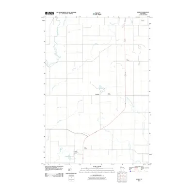 2010 Aniwa2010 Print · USGSAniwa and Elmhurst appear in this 2010 survey of a river-laced landscape in Langlade County. Researchers can trace local history through markers like Hall Pioneer Cemetery, Saint Boniface Cemetery, and the banks of the Middle Branch Embarrass River.
 - 2010 Map of Black Brook, 2010 Print
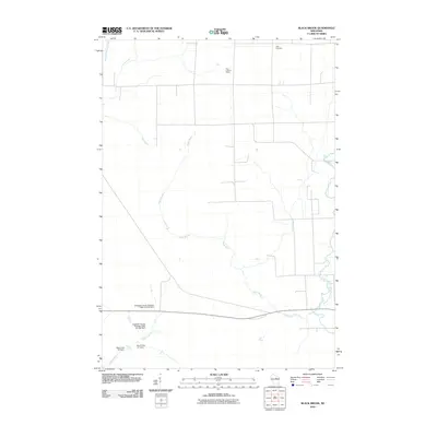 2010 Black Brook2010 Print · USGSUpper Langlade County at the start of the 2010s shows a landscape of managed water and timbered stretches. Researchers can locate the Peck Cemetery or trace the drainage of the West Branch Eau Claire River and several specific flowage dams.
 - 2010 Map of Hogarty, 2010 Print
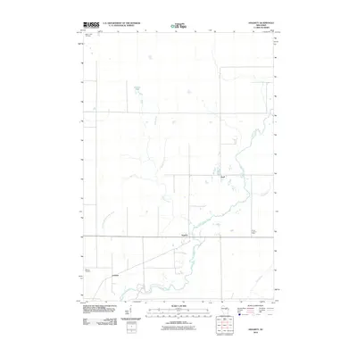 2010 Hogarty2010 Print · USGSMarathon County's rural river valleys are captured here in the early twenty-first century, documenting a landscape shaped by small agricultural hubs. Genealogists and local researchers can locate Bethany Cemetery, the Aniwa Lookout Tower, and the settlement of Hogarty.
 - 2010 Map of Kalinke, 2010 Print
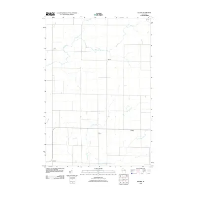 2010 Kalinke2010 Print · USGSPine River and the surrounding Wisconsin countryside are captured here in the early twenty-first century, showing a landscape of quiet crossroads and winding waterways. Researchers can locate family landmarks like Trinity Cemetery and trace the paths of Big Sandy Creek and the Trappe River.
 - 2010 Map of Antigo, 2010 Print
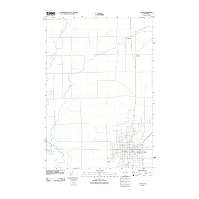 2010 Antigo2010 Print · USGSThe city of Antigo and its surrounding Northwoods countryside are captured in this detail-rich map from 2010. Researchers can locate specific sites like the Antigo Post Office, Bohemian Cemetery, and the historic Faust Dam 1883c259 along the Eau Claire River.
 - 2013 Map of Antigo, 2013 Print
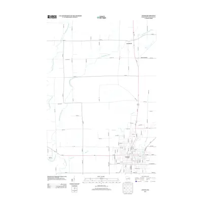 2013 Antigo2013 Print · USGSLanglade County's landscape in the early 2010s is centered on the industrial and residential grid of Antigo and its surrounding river valleys. Researchers can trace the layout of northern settlements like Deerbrook and Neva Corners or the hydrologic network of Spring Brook and Antigo Lake.
 - 2013 Map of Hogarty, 2013 Print
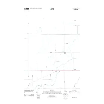 2013 Hogarty2013 Print · USGSMarathon County in the early twenty-first century reveals a quiet landscape of river valleys and rural junctions. Genealogists and hikers can trace the Ice Age Natl Scenic Trl near Hogarty and locate local landmarks like the Aniwa Lookout Tower.
 - 2013 Map of Aniwa, 2013 Print
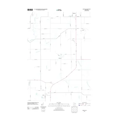 2013 Aniwa2013 Print · USGSAniwa and Elmhurst were small but vital northern Wisconsin hubs in the early twenty-first century. Researchers can trace the courses of the Eau Claire River and Plover River or locate local landmarks like Bear Lake and Pleasant Lake.
 - 2013 Map of Black Brook, 2013 Print
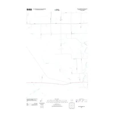 2013 Black Brook2013 Print · USGSWisconsin's north woods appear in detail during the early twenty-first century, showing a landscape defined by its river systems and timberlands. Researchers can locate the Vilas Lookout Tower and trace the paths of the Pine River and Black Brook.
 - 2013 Map of Kalinke, 2013 Print
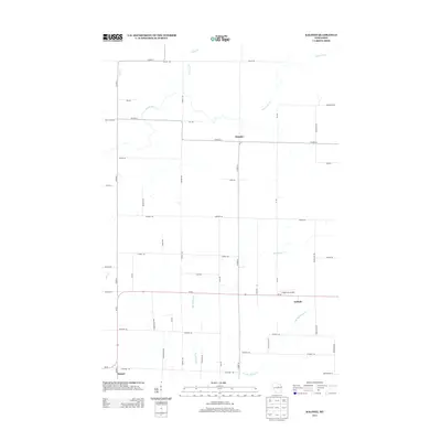 2013 Kalinke2013 Print · USGSMarathon and Lincoln counties meet in this 2013 survey, capturing the rural character of the Wisconsin heartland. Genealogists and local historians can trace family-named routes and small settlements like Kalinke, Glandon, and the Knight Sky Airport.
 - 2013 Map of Doering, 2013 Print
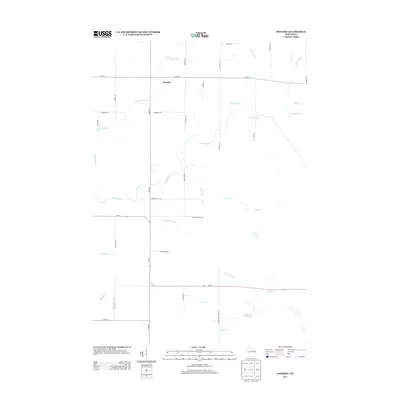 2013 Doering2013 Print · USGSPine River and its tributaries wind through Lincoln County in the early twenty-first century, revealing a landscape shaped by water and rural transit. Researchers can trace the layout of Doering and local landmarks like Gleason Flowage 2 and Pat Smith Cr.
 - 2015 Map of Hogarty, 2015 Print
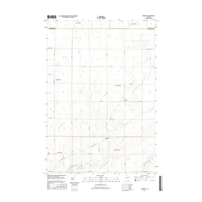 2015 Hogarty2015 Print · USGSMarathon and Langlade counties appear here in the mid-2010s, showing a landscape defined by the winding Eau Claire River. Researchers can locate the Bethany Cem near Hogarty or trace the southern path of the Ice Age National Scenic Trail.
 - 2015 Map of Kalinke, 2015 Print
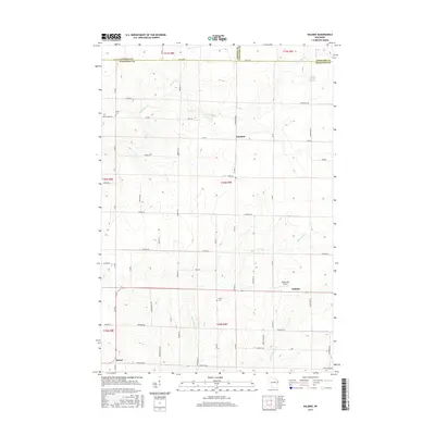 2015 Kalinke2015 Print · USGSPortions of Lincoln and Marathon Counties are shown here during the mid-2010s, capturing a landscape of rural crossroads and river valleys. Researchers can locate family sites near Trinity Cem, the small settlement of Glandon, or the Knight Sky Airport landing strip.
 - 2015 Map of Aniwa, 2015 Print
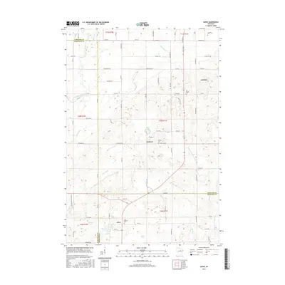 2015 Aniwa2015 Print · USGSWisconsin’s Northwoods country at the intersection of three counties comes alive in this mid-2010s survey. Researchers can trace family roots through Saint Boniface Cem and Hall Pioneer Cem or follow the Ice Age National Scenic Trail past Bear Lake.
 - 2015 Map of Doering, 2015 Print
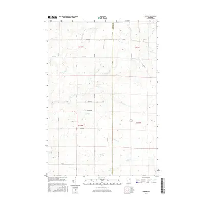 2015 Doering2015 Print · USGSLincoln County's timber and river country is captured here during the mid-2010s, showing the rural crossroads and complex hydrology of the Pine River basin. Researchers can locate the Forest View Cem, the small community of Doering, and the waters of Gleason Flowage 2.
 - 2015 Map of Black Brook, 2015 Print
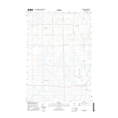 2015 Black Brook2015 Print · USGSLanglade County in the mid-2010s shows a landscape of interconnected wetlands and rural roads. Genealogists and researchers can locate Peck Cemetery and trace the paths of Black Brook and the West Branch Eau Claire River.
 - 2015 Map of Antigo, 2015 Print
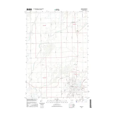 2015 Antigo2015 Print · USGSAntigo and the surrounding Langlade County countryside are captured here in the early twenty-first century, showing the city's growth alongside traditional rural farmsteads. Researchers can locate family heritage sites at the Bohemian Cem or trace the winding course of the East Branch Eau Claire River through the township.
 - 2018 Map of Doering, 2018 Print
 2018 Doering2018 Print · USGSLincoln County and the border of Langlade County are documented in the late 2010s, showing a landscape defined by the upper Pine River. Genealogists and researchers can locate Forest View Cem and the settlement of Doering near the N Br Pine River.
 - 2018 Map of Antigo, 2018 Print
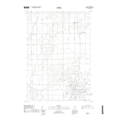 2018 Antigo2018 Print · USGSThe northern Wisconsin timber and dairy lands of Langlade County are shown here in modern detail. Researchers can trace the layout of Antigo, locate family plots at Bohemian Cem, and follow the winding East Branch Eau Claire River through Deerbrook.
 - 2018 Map of Black Brook, 2018 Print
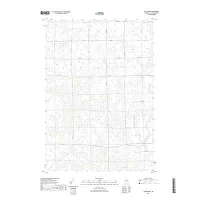 2018 Black Brook2018 Print · USGSNorthern Wisconsin's river networks are on full display in the late 2010s, showing a landscape defined by water and woods. Genealogists can locate Peck Cem while researchers trace the paths of the Pine River, Trappe River, and Black Brook.
 - 2018 Map of Kalinke, 2018 Print
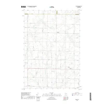 2018 Kalinke2018 Print · USGSPine River and the tri-county borderlands of Lincoln, Marathon, and Langlade appear in this recent survey of rural Wisconsin. Researchers can locate family landmarks like Trinity Cem and Zions Cem or trace the routes of Glandon, Kalinke, and Sunset.
 - 2018 Map of Hogarty, 2018 Print
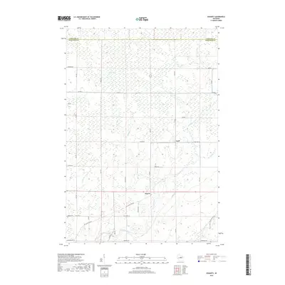 2018 Hogarty2018 Print · USGSMarathon and Langlade counties are captured here in 2018, showcasing a landscape of winding Northwoods rivers and rural crossroads. Genealogists and hikers can trace the Ice Age National Scenic Trail and locate family sites near Hogarty, Snell, and Bethany Cem.
 - 2018 Map of Aniwa, 2018 Print
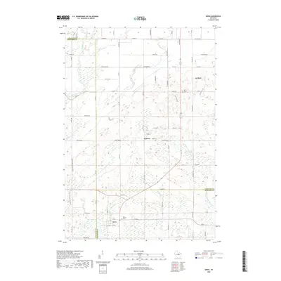 2018 Aniwa2018 Print · USGSUpper Wisconsin river country comes into focus in this late 2010s survey of the tri-county borderlands. Researchers can trace family sites at Saint Boniface Cem or follow the route of the Ice Age National Scenic Trail near Aniwa.
End of results
Showing maps 1-24 of 24
Top cities near Ackley
- Antigo historical maps
- Pine River historical maps
- Ringle historical maps
- Elcho historical maps
- Neva historical maps
- Norrie historical maps
See more
Frequently asked questions
- What are the different types of historical maps available for Ackley?
- What is the oldest map of Ackley?
- Where can I purchase historical maps of Ackley for my home or office?
- Where can I download high-res historical maps of Ackley?
- Are there historical topographic maps available for Ackley?
- Is there historical aerial imagery available for Ackley?
- Where are historical maps of Ackley sourced from?