Old Maps of Manitowoc Rapids, Wisconsin for Metal Detecting
Plan your next treasure hunt with 13 historic maps of Manitowoc Rapids. Find old homesites, ghost towns, trails, and gathering spots that may be lost to time — perfect for identifying promising metal detecting locations.
- Locate forgotten sites: Uncover places like long-lost settlements, abandoned rail lines, or gathering spots.
- Plan better hunts: Use map overlays combined with LiDAR or satellite views to narrow in on historically rich areas.
- Made for detectorists: Thousands of hobbyists use these maps to discover relics, coins, and hidden history.
Use these historic maps to boost your research and find new opportunities beneath the surface of Manitowoc Rapids.
Manitowoc Rapids, WI maps
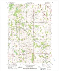
(13)- 1954 Map of Manitowoc, 1956 Print
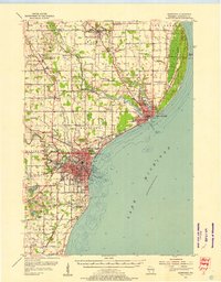 1954 Manitowoc1956 Print · USGSThe Lake Michigan shoreline of Manitowoc and Two Rivers is captured here in the mid-1950s, showing a landscape of maritime industry and rural school districts. Genealogists can locate family landmarks like the Holy Family Convent, Francis Creek National Cem, and the Salem Sch (Abandoned).2 unique versions available
 - 1954 Map of Reedsville, 1956 Print
 1954 Reedsville1956 Print · USGSManitowoc County's dairy heartland is captured in the mid-fifties, showing a landscape densely dotted with rural schoolhouses and family-named crossroads. Genealogists and historians can locate dozens of institutions like St Marys Cem, Cato Falls Sch, and the Maple Crest Sanatorium.2 unique versions available
 - 1954 Map of Manitowoc, 1956 Print
 1954 Manitowoc1956 Print · USGSManitowoc's industrial shoreline and the surrounding dairy country are captured here at the peak of the postwar era. Local historians can trace the foundations of the lakefront economy at Manitowoc Harbor or find rural family landmarks like the Holy Family Convent and Whittier Sch.2 unique versions available
 - 1954 Map of Manitowoc, 1968 Print
 1954 Manitowoc1968 Print · USGSLake Michigan served as a vital transit corridor in the mid-fifties, with car and auto ferries linking the industrial ports of Wisconsin to the Michigan timberlands. Genealogists and maritime historians can trace active ferry routes like the Ann Arbor Railway Car and Auto Ferry and locate early settlements from Brussels to Algoma.2 unique versions available
 - 1958 Map of Manitowoc
 1958 Manitowoc1958 Print · USGSLake Michigan and its shorelines are shown in the late fifties when maritime transport defined the region. Researchers can trace the routes of the Ann Arbor Railroad Ferry or locate old settlements like St. Nazianz, Rostock, and Two Creeks.
 - 1978 Map of Clarks Mills, 1979 Print
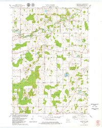 1978 Clarks Mills1979 Print · USGSManitowoc County's rural townships are captured here in the late seventies, showing a landscape defined by the winding river and the Soo Line rail. Genealogists can locate family landmarks like St Mary Cem, the Gjerpen Cem, and the old St Johns Sch.
 - 1978 Map of Mishicot, 1979 Print
 1978 Mishicot1979 Print · USGSManitowoc County in the late seventies is characterized by the intersection of the Twin Rivers and a landscape of busy gravel quarries. Researchers can trace family history at the Francis Creek National Cem or follow the C & NW RR through Francis Creek.
 - 1978 Map of Whitelaw, 1979 Print
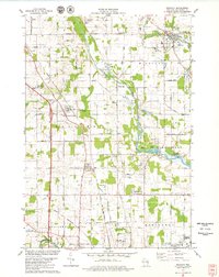
 1978 Whitelaw1979 Print · USGSManitowoc County farmland in the late seventies is captured here at the height of its dairy-era maturity. Genealogists can trace family footprints near Reifs Mills, Kellnersville, and Kossuth Cem or locate the historic Maple Crest Sanitarium.2 unique versions available
 - 1984 Map of Manitowoc, 1985 Print
 1984 Manitowoc1985 Print · USGSThe Lake Michigan shoreline of eastern Wisconsin is captured here in the mid-eighties, showing the bustling ports and rail-fed industry of the era. Genealogists and researchers can trace family-named sites near Stangelville, find the Francis Creek National Cem, or locate the U S Coast Guard Station.2 unique versions available
 - 2022 Map of Whitelaw, 2022 Print
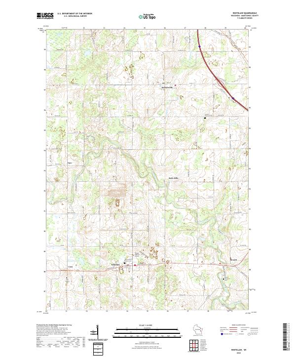 2022 Whitelaw2022 Print · USGSManitowoc County's rural heartland is mapped here in the early twenty-first century, showing the enduring settlement patterns of these Wisconsin crossroads. Genealogists can locate several historic burial grounds, including Kossuth National Cem, Branch Evergreen Cem, and Cato Heights Cem.
 - 2022 Map of Clarks Mills, 2022 Print
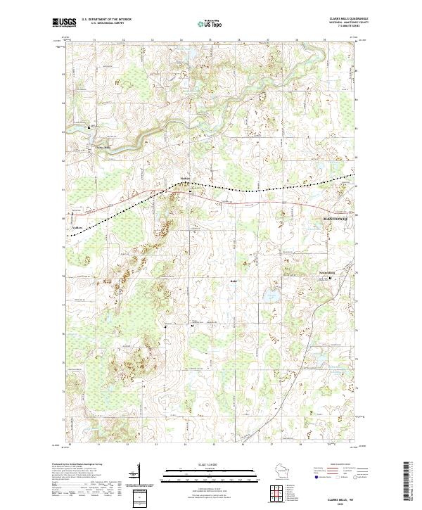 2022 Clarks Mills2022 Print · USGSManitowoc County's rural landscape is preserved here as it appeared in the early 2020s, centered on the winding Manitowoc River. Genealogists can precisely locate family heritage sites like Saint Mary Cem, Gjerpen Cem, and the community of Clarks Mills.
 - 2022 Map of Mishicot, 2022 Print
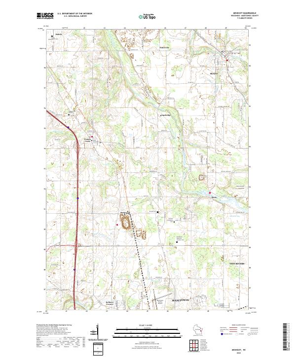 2022 Mishicot2022 Print · USGSManitowoc County's rural heartland is documented here in the early twenty-first century, centered on the historic village of Mishicot and its surrounding river valleys. Researchers can trace ancestral locations at Melnik Presbyterian Cem or follow the paths of the Devil's River State Trl and West Twin River.
 - 2022 Map of Manitowoc, 2022 Print
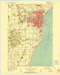
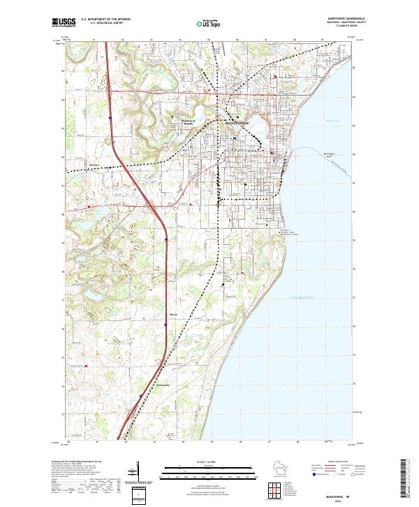 2022 Manitowoc2022 Print · USGSThe Lake Michigan shoreline at MANITOWOC reveals a well-developed port city and its surrounding rural hamlets during the early twenty-first century. Genealogists can locate several historic burial grounds like Evergreen Cem and Saint Peter Cem, while tracing the course of Silver Cr and the Manitowoc River.
End of results
Showing maps 1-13 of 13
Top cities near Manitowoc Rapids
- Manitowoc historical maps
- Two Rivers historical maps
- Newton historical maps
- Morrison historical maps
- Meeme historical maps
- Mishicot historical maps
See more
Top neighborhoods of Manitowoc Rapids
Frequently asked questions
- What are the different types of historical maps available for Manitowoc Rapids?
- What is the oldest map of Manitowoc Rapids?
- Where can I purchase historical maps of Manitowoc Rapids for my home or office?
- Where can I download high-res historical maps of Manitowoc Rapids?
- Are there historical topographic maps available for Manitowoc Rapids?
- Is there historical aerial imagery available for Manitowoc Rapids?
- Where are historical maps of Manitowoc Rapids sourced from?