Old Maps of Manitowoc, Wisconsin for Genealogy
Trace your family roots with 22 historic maps of Manitowoc. These high-res maps reveal old neighborhoods, homesites, landmarks, and streets — helping you uncover where your ancestors lived and how the area evolved over time.
- Explore historic neighborhoods: Identify where your relatives may have lived in the 1800s or 1900s.
- Compare maps over time: Trace the changes in streets, buildings, and landmarks for multi-generational research.
- Perfect for genealogy & ancestry research: Used by family historians and researchers to map out lineage and migration.
These maps are an incredible resource for exploring your personal connection to Manitowoc's past.
Manitowoc, WI maps
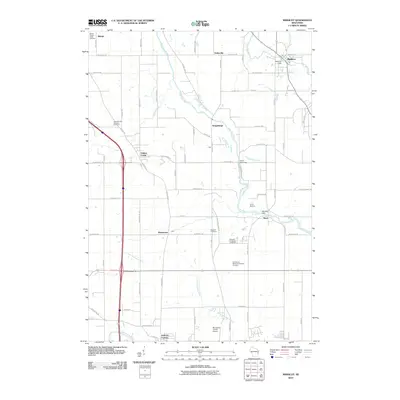
(22)- 1954 Map of Manitowoc, 1956 Print
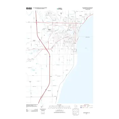
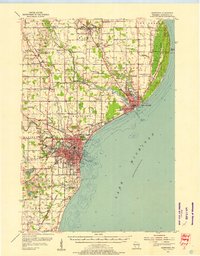 1954 Manitowoc1956 Print · USGSThe Lake Michigan shoreline of Manitowoc and Two Rivers is captured here in the mid-1950s, showing a landscape of maritime industry and rural school districts. Genealogists can locate family landmarks like the Holy Family Convent, Francis Creek National Cem, and the Salem Sch (Abandoned).2 unique versions available
 - 1954 Map of Manitowoc, 1956 Print
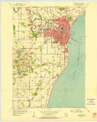 1954 Manitowoc1956 Print · USGSManitowoc's industrial shoreline and the surrounding dairy country are captured here at the peak of the postwar era. Local historians can trace the foundations of the lakefront economy at Manitowoc Harbor or find rural family landmarks like the Holy Family Convent and Whittier Sch.2 unique versions available
 - 1954 Map of Manitowoc, 1968 Print
 1954 Manitowoc1968 Print · USGSLake Michigan served as a vital transit corridor in the mid-fifties, with car and auto ferries linking the industrial ports of Wisconsin to the Michigan timberlands. Genealogists and maritime historians can trace active ferry routes like the Ann Arbor Railway Car and Auto Ferry and locate early settlements from Brussels to Algoma.2 unique versions available
 - 1958 Map of Manitowoc
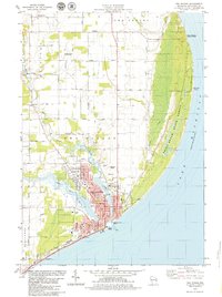
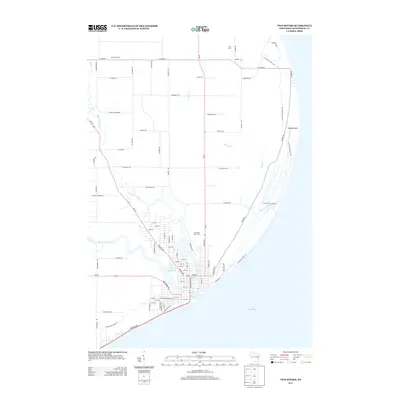
 1958 Manitowoc1958 Print · USGSLake Michigan and its shorelines are shown in the late fifties when maritime transport defined the region. Researchers can trace the routes of the Ann Arbor Railroad Ferry or locate old settlements like St. Nazianz, Rostock, and Two Creeks.
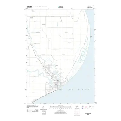
 - 1978 Map of Two Rivers, 1979 Print
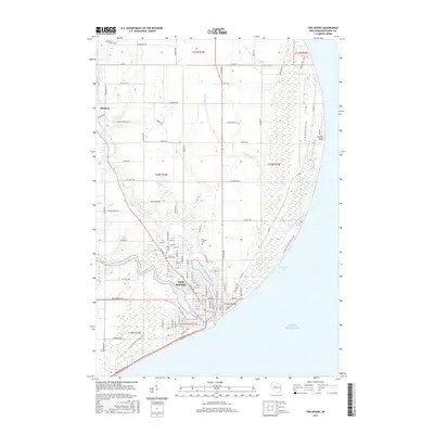
 1978 Two Rivers1979 Print · USGSWisconsin's lakeside industry and rural heritage meet in the late seventies as the Twin Rivers join at the Lake Michigan shore. Genealogists and local historians can trace family-named sites like the Englebert Farms Landing Strip and several burial grounds, including Saxonburg Cem and Holy Cross Cem.
 - 1978 Map of Mishicot, 1979 Print
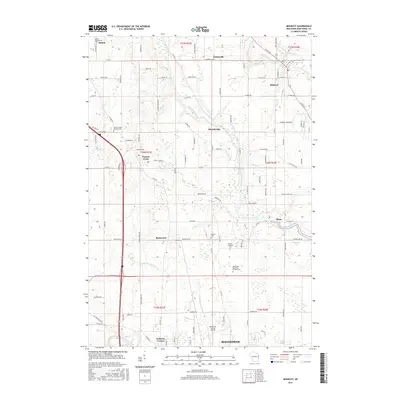
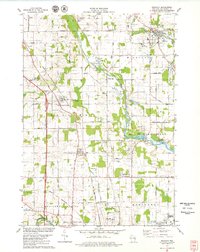 1978 Mishicot1979 Print · USGSManitowoc County in the late seventies is characterized by the intersection of the Twin Rivers and a landscape of busy gravel quarries. Researchers can trace family history at the Francis Creek National Cem or follow the C & NW RR through Francis Creek.
 - 1984 Map of Manitowoc, 1985 Print
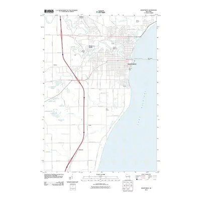
 1984 Manitowoc1985 Print · USGSThe Lake Michigan shoreline of eastern Wisconsin is captured here in the mid-eighties, showing the bustling ports and rail-fed industry of the era. Genealogists and researchers can trace family-named sites near Stangelville, find the Francis Creek National Cem, or locate the U S Coast Guard Station.2 unique versions available
 - 2010 Map of Mishicot, 2010 Print
 2010 Mishicot2010 Print · USGSCovers Manitowoc, including Two Rivers, Mishicot, and other nearby areas
 - 2010 Map of Two Rivers, 2010 Print
 2010 Two Rivers2010 Print · USGSCovers Manitowoc, including Two Rivers, Mishicot, and other nearby areas
 - 2010 Map of Manitowoc, 2010 Print
 2010 Manitowoc2010 Print · USGSCovers Manitowoc, including Newton, Duveneck, and other nearby areas
 - 2013 Map of Mishicot, 2013 Print
 2013 Mishicot2013 Print · USGSCovers Manitowoc, including Two Rivers, Mishicot, and other nearby areas
 - 2013 Map of Manitowoc, 2013 Print
 2013 Manitowoc2013 Print · USGSCovers Manitowoc, including Newton, Duveneck, and other nearby areas
 - 2013 Map of Two Rivers, 2013 Print
 2013 Two Rivers2013 Print · USGSCovers Manitowoc, including Two Rivers, Mishicot, and other nearby areas
 - 2015 Map of Two Rivers, 2015 Print
 2015 Two Rivers2015 Print · USGSCovers Manitowoc, including Two Rivers, Mishicot, and other nearby areas
 - 2015 Map of Mishicot, 2015 Print
 2015 Mishicot2015 Print · USGSCovers Manitowoc, including Two Rivers, Mishicot, and other nearby areas
 - 2015 Map of Manitowoc, 2015 Print
 2015 Manitowoc2015 Print · USGSCovers Manitowoc, including Newton, Duveneck, and other nearby areas
 - 2018 Map of Mishicot, 2018 Print
 2018 Mishicot2018 Print · USGSCovers Manitowoc, including Two Rivers, Mishicot, and other nearby areas
 - 2018 Map of Manitowoc, 2018 Print
 2018 Manitowoc2018 Print · USGSCovers Manitowoc, including Newton, Duveneck, and other nearby areas
 - 2018 Map of Two Rivers, 2018 Print
 2018 Two Rivers2018 Print · USGSCovers Manitowoc, including Two Rivers, Mishicot, and other nearby areas
 - 2022 Map of Mishicot, 2022 Print
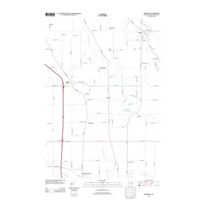
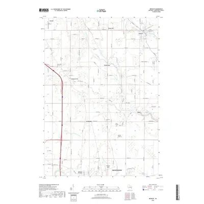
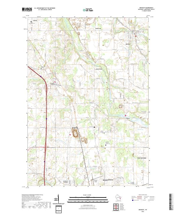 2022 Mishicot2022 Print · USGSManitowoc County's rural heartland is documented here in the early twenty-first century, centered on the historic village of Mishicot and its surrounding river valleys. Researchers can trace ancestral locations at Melnik Presbyterian Cem or follow the paths of the Devil's River State Trl and West Twin River.
 - 2022 Map of Two Rivers, 2022 Print
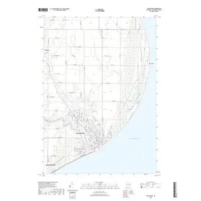
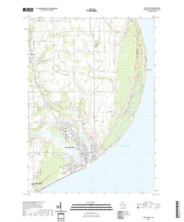 2022 Two Rivers2022 Print · USGSCoastal Wisconsin communities and the confluence of the Twin Rivers are captured here in the early twenty-first century. Researchers can trace the path of the Ice Age National Scenic Trl or locate local landmarks like Holy Cross Cem and Rawley Point.
 - 2022 Map of Manitowoc, 2022 Print
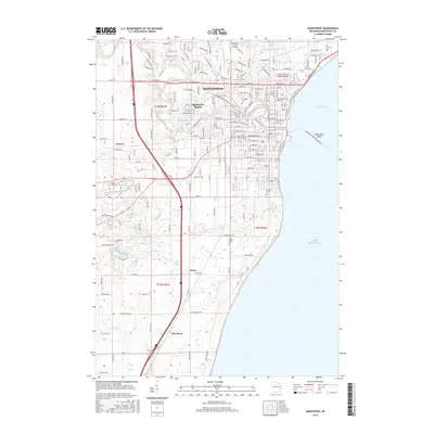
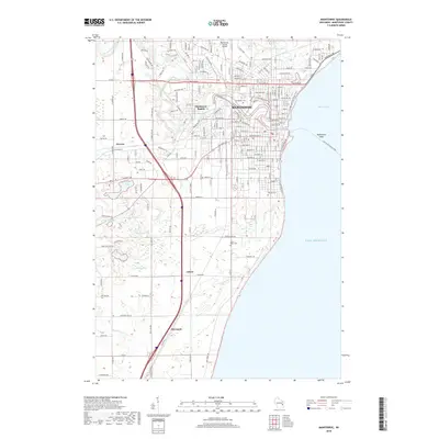
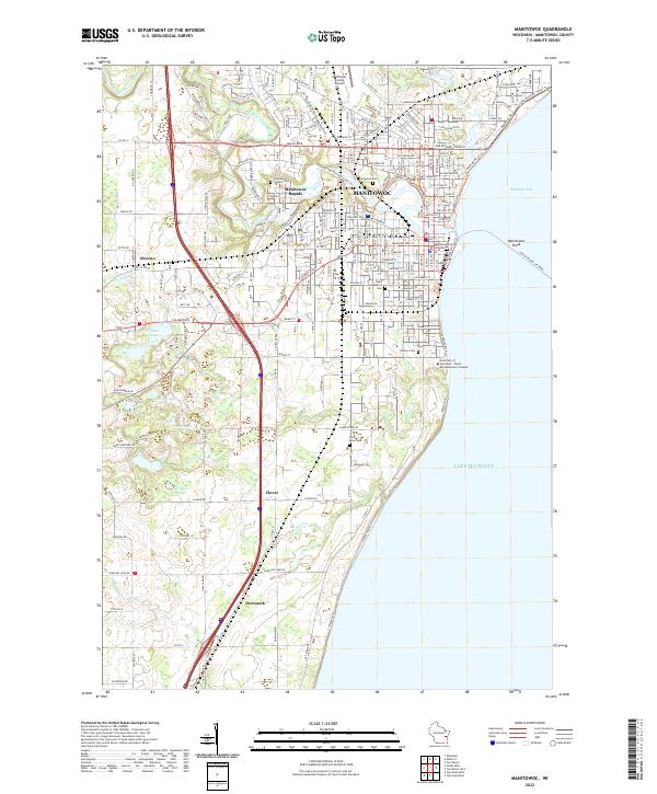 2022 Manitowoc2022 Print · USGSThe Lake Michigan shoreline at MANITOWOC reveals a well-developed port city and its surrounding rural hamlets during the early twenty-first century. Genealogists can locate several historic burial grounds like Evergreen Cem and Saint Peter Cem, while tracing the course of Silver Cr and the Manitowoc River.
End of results
Showing maps 1-22 of 22
Top cities near Manitowoc
- Manitowoc historical maps
- Two Rivers historical maps
- Newton historical maps
- Meeme historical maps
- Mishicot historical maps
- Cleveland historical maps
See more
Frequently asked questions
- What are the different types of historical maps available for Manitowoc?
- What is the oldest map of Manitowoc?
- Where can I purchase historical maps of Manitowoc for my home or office?
- Where can I download high-res historical maps of Manitowoc?
- Are there historical topographic maps available for Manitowoc?
- Is there historical aerial imagery available for Manitowoc?
- Where are historical maps of Manitowoc sourced from?