2010s Maps of Rockland, Wisconsin
Explore 16 historic maps of Rockland from the 2010s. These maps offer a rare glimpse into what life looked like during the 2010s — showing old roads, neighborhoods, homes, and landmarks that have changed or disappeared over time.
Whether you're researching your family's past, planning a metal detecting trip, or studying how Rockland's landscape evolved across the 2010s, these high-resolution maps are a powerful tool for exploring the history of this region.
- Focus on a specific era: All maps on this page are from the 2010s, giving you a focused view of this time period.
- See what’s changed: Compare century-old streets, trails, and buildings to today's modern landscape using overlays and satellite layers.
- Research with precision: Use these maps for genealogy, historical research, land use analysis, or educational projects.
- View, download, or print: Maps are fully viewable online in high resolution, and can be downloaded or printed for your own records.
Start exploring Rockland's history through authentic maps from the 2010s. This is your window into the past.
Rockland, WI maps
(16)- 2010 Map of Brillion, 2010 Print
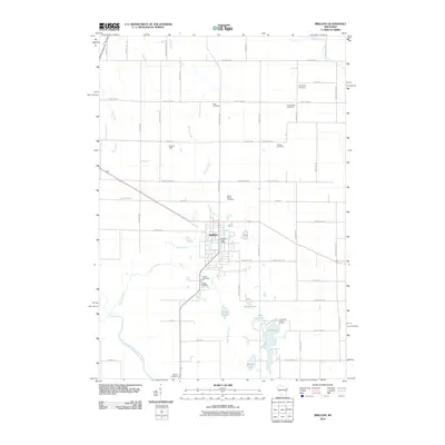 2010 Brillion2010 Print · USGSCalumet County was transitioning into the new millennium when this record of the Brillion area was made. Researchers can trace the layout of family-named roads and historic burial sites such as Bluff Cemetery, Kasson Cemetery, and Rantoul Cemetery.
 - 2010 Map of Potter, 2010 Print
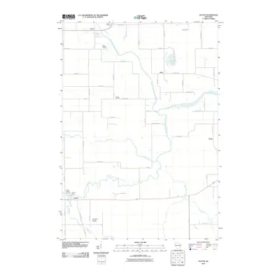 2010 Potter2010 Print · USGSCalumet County's rural river valleys are captured here in the early twenty-first century, showing the enduring agricultural landscape around Potter. Genealogists and local historians can trace family burial sites like Rantoul Cemetery or locate the Hayton Dam near the village of Hayton.
 - 2010 Map of Valders, 2010 Print
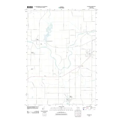 2010 Valders2010 Print · USGSManitowoc County is captured here in the early twenty-first century, showing a landscape of structured rural townships and winding waterways. Family historians can locate several burial grounds like Tyler Cemetery and Saint Gregory Cemetery or trace the drainage of Mud Creek.
 - 2010 Map of Reedsville, 2010 Print
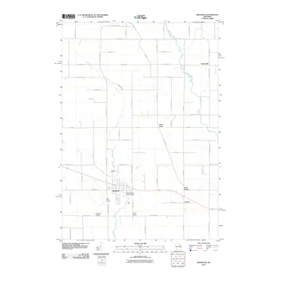 2010 Reedsville2010 Print · USGSEastern Wisconsin farmland near the turn of the 21st century remains anchored by its small communities and quiet creek valleys. Genealogists can trace family footprints through several local landmarks like Saint Marys Cemetery, Grimms, and Maple Grove.
 - 2013 Map of Valders, 2013 Print
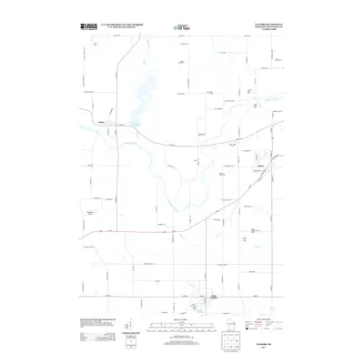 2013 Valders2013 Print · USGSWisconsin's dairy heartland in Manitowoc County is seen here in the early twenty-first century, showing a landscape defined by multi-generational family farms. Researchers can trace land use through named sites like Irishway Dairy Farm, find Cato Falls, and locate the Windhaven Airport and Saint Nazianz.
 - 2013 Map of Reedsville, 2013 Print
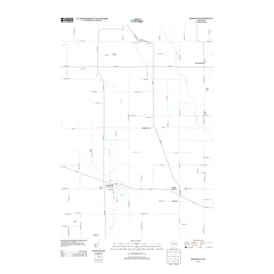 2013 Reedsville2013 Print · USGSDairy farming roots run deep in this Wisconsin landscape, where the early twenty-first century agricultural footprint is preserved in detail. Genealogists and local historians can locate specific family holdings like Baroun Century Farm and the Welsh Farm near Reedsville.
 - 2013 Map of Potter, 2013 Print
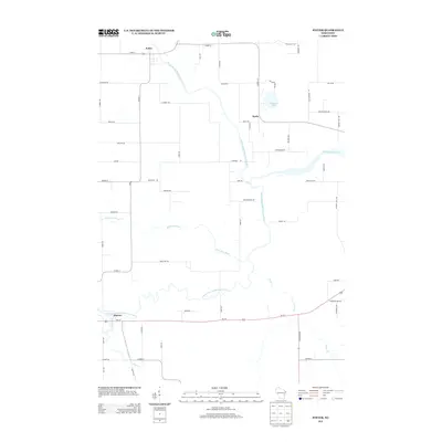 2013 Potter2013 Print · USGSCalumet County's rural landscape is mapped here in the early twenty-first century, showing the confluence of several major waterways. Genealogists and local historians can trace family road names and small settlements like Potter, Wells, and Hayton along the Killsnake River.
 - 2013 Map of Brillion, 2013 Print
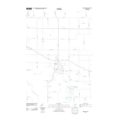 2013 Brillion2013 Print · USGSBrillion and the surrounding Calumet County dairy lands are captured here in the early twenty-first century as the town’s residential grid meets the expansive farm tracts. Genealogists and local historians can trace family-named locations such as K and K Dairy and Ran - Rose Farms, or locate the clustered waters of Long Lake and Becker Lake.
 - 2015 Map of Reedsville, 2015 Print
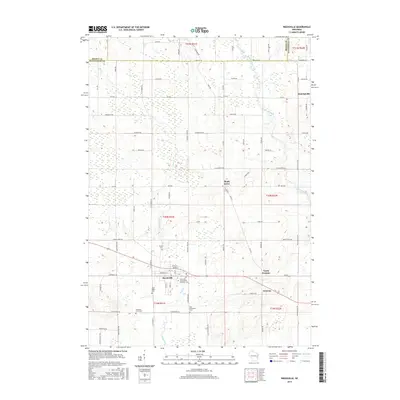 2015 Reedsville2015 Print · USGSThe rural landscapes of Brown and Manitowoc counties are captured here in the mid-2010s, centered on the village of Reedsville. Genealogists and local historians can trace family locations near Maple Grove or several area cemeteries like Zion Evergreen Cem.
 - 2015 Map of Valders, 2015 Print
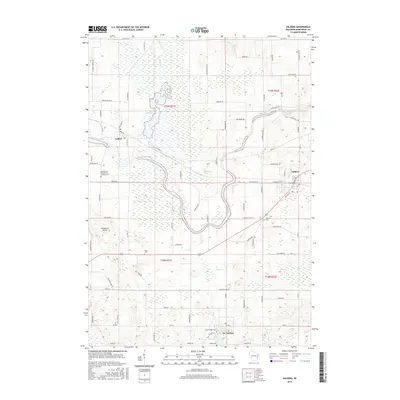 2015 Valders2015 Print · USGSMid-century Wisconsin heritage is preserved in this study of the area surrounding Valders and the Manitowoc River during the 2010s. Local researchers can trace family roots at Saint Peters Evangelical Lutheran Cem or explore the geography of Collins Marsh Reservoir.
 - 2016 Map of Potter, 2016 Print
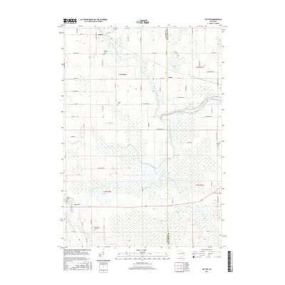 2016 Potter2016 Print · USGSThe Calumet and Manitowoc county border comes into focus in this mid-2010s survey, highlighting the expansive Hayton Marsh and the river forks. Genealogists can locate family burial sites such as Rantoul Cem, Streckert Cem, and Trinity Lutheran Cem.
 - 2016 Map of Brillion, 2016 Print
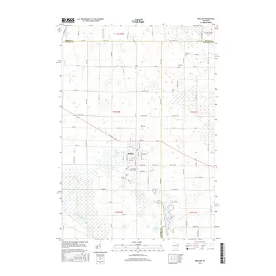 2016 Brillion2016 Print · USGSBrillion and the surrounding dairy country are shown here in the mid-2010s at the meeting point of three Wisconsin counties. Local historians can trace family plots at Saint Marys Cem or Bluff Cem and follow the paths of the North Branch Manitowoc River and Plum Cr.
 - 2018 Map of Potter, 2018 Print
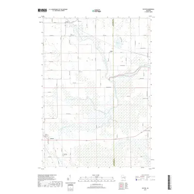 2018 Potter2018 Print · USGSCalumet County's rural river valleys are shown in detail here during the late 2010s, where the Manitowoc River system meets extensive marshlands. Researchers can locate several historic burial sites, including the Free German Cem, Rantoul Cem, and Hayton Hillside Cem.
 - 2018 Map of Brillion, 2018 Print
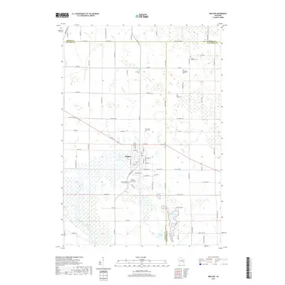 2018 Brillion2018 Print · USGSBrillion and its surrounding townships are shown here in the late 2010s at the junction of three Wisconsin counties. Researchers can trace local lineage through numerous sites like Brillion Community Cem - South, Bluff Cem, and Saint Mary's Cem.
 - 2018 Map of Reedsville, 2018 Print
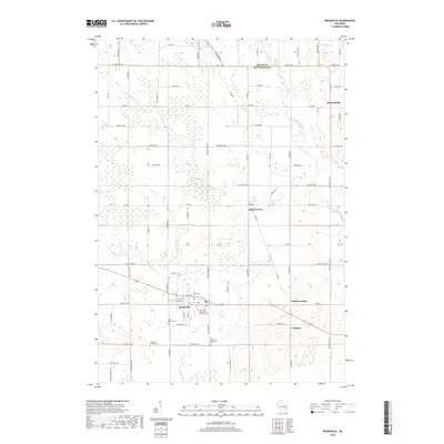 2018 Reedsville2018 Print · USGSManitowoc and Brown counties are mapped here in the late twenty-teens, showing the enduring rural character of eastern Wisconsin. Local historians can trace the footprints of communities like Reedsville and Grimms, or locate family sites at Saint Mary's Cem and Frieden Cem.
 - 2018 Map of Valders, 2018 Print
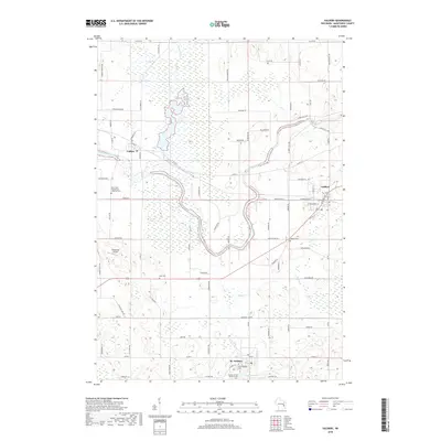 2018 Valders2018 Print · USGSManitowoc County's rural townships are documented here during the late twenty-teens, showing a landscape of small villages and extensive wetlands. Genealogists and local historians can locate many family-named landmarks and community sites, such as Tyler Cem, the Wisconsin Central rail line, and the village of St. Nazianz.
End of results
Showing maps 1-16 of 16
Top cities near Rockland
- Manitowoc historical maps
- Chilton historical maps
- New Holstein historical maps
- Kiel historical maps
- Brillion historical maps
- Wrightstown historical maps
See more
Top neighborhoods of Rockland
Frequently asked questions
- What are the different types of historical maps available for Rockland?
- What is the oldest map of Rockland?
- Where can I purchase historical maps of Rockland for my home or office?
- Where can I download high-res historical maps of Rockland?
- Are there historical topographic maps available for Rockland?
- Is there historical aerial imagery available for Rockland?
- Where are historical maps of Rockland sourced from?