1980s Maps of Marathon County, Wisconsin
Explore 25 historic maps of Marathon County from the 1980s. These maps offer a rare glimpse into what life looked like during the 1980s — showing old roads, neighborhoods, homes, and landmarks that have changed or disappeared over time.
Whether you're researching your family's past, planning a metal detecting trip, or studying how Marathon County's landscape evolved across the 1980s, these high-resolution maps are a powerful tool for exploring the history of this region.
- Focus on a specific era: All maps on this page are from the 1980s, giving you a focused view of this time period.
- See what’s changed: Compare century-old streets, trails, and buildings to today's modern landscape using overlays and satellite layers.
- Research with precision: Use these maps for genealogy, historical research, land use analysis, or educational projects.
- View, download, or print: Maps are fully viewable online in high resolution, and can be downloaded or printed for your own records.
Start exploring Marathon County's history through authentic maps from the 1980s. This is your window into the past.
Marathon County, WI maps
(25)- 1980 Map of Corinth
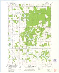 1980 Corinth1980 Print · USGSMarathon and Taylor Counties are shown in the late seventies as a landscape of small townships and river valleys. Genealogists and historians can trace the Corinth settlement, the Old Railroad Grade, and local landmarks like Kreie Sch.
 - 1980 Map of Athens
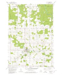 1980 Athens1980 Print · USGSMarathon County at the end of the 1970s shows a landscape of steady agricultural and timber-linked growth centered on the village of Athens. Genealogists and historians can trace the Old Railroad Grade and locate family markers at the local Cem or along Potato Creek.2 unique versions available
 - 1980 Map of Medford
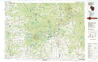 1980 Medford1980 Print · USGSNorth-central Wisconsin in the early eighties shows a landscape of dense timber and rail-linked settlements. Genealogists and historians can trace the Soo Line through towns like Medford and Westboro or locate family homesteads near Perkinstown and Athens.
 - 1981 Map of Edgar, 1982 Print
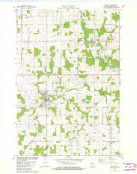 1981 Edgar1982 Print · USGSMarathon County in the early eighties shows a transition from rail-centered village life to modern infrastructure. Genealogists can locate family burial sites at Baesemann Cem or Holy Trinity Cem and trace the winding Big Rib River.
 - 1981 Map of Marathon SW, 1982 Print
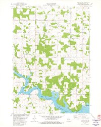 1981 Marathon SW1982 Print · USGSMarathon County in the early eighties centers on the expansive waters of the Big Eau Pleine Reservoir and the rural townships of Wien and Cassel. Researchers can trace old property lines and rural landmarks like Rocky Run, a localized Quarry, and the C & N W railroad line.
 - 1981 Map of Halder, 1982 Print
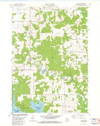 1981 Halder1982 Print · USGSMarathon County’s rural landscape is captured here in the early eighties, defined by the expansion of the Big Eau Pleine Reservoir. Genealogists and local historians can locate St Patricks Ch in Halder and trace the many Quarries that dotted these woodlots.
 - 1981 Map of Abbotsford, 1982 Print
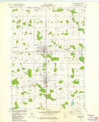 1981 Abbotsford1982 Print · USGSAbbotsford and Colby straddle the county line in the early eighties, serving as a hub for the surrounding central Wisconsin dairy lands. Researchers can locate the Colby Cemetery, the Colby-Abbotsford Airport, and the former Drive-in Theater along the Soo Line corridor.
 - 1981 Map of Little Rose, 1982 Print
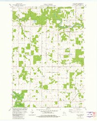 1981 Little Rose1982 Print · USGSMarathon County in the early eighties reveals a landscape of rural townships and river-fed marshes. Researchers can locate family landmarks like Emanuel Ch, the Eau Pleine Cem, and the old Chicago and North Western rail line.
 - 1981 Map of Stratford, 1982 Print
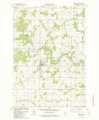 1981 Stratford1982 Print · USGSMarathon County's river-fed dairy lands are captured here in the early eighties, centered on the village of Stratford. Researchers can trace local roots through sites like St Pauls Ch, Zion Cem, and the rail lines of the Chicago and North Western.
 - 1981 Map of Marathon, 1982 Print
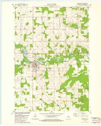 1981 Marathon1982 Print · USGSMarathon County's agricultural heartland and the river valley near Marathon City are captured here in the early eighties. Genealogists and local historians can trace family locations near St Marys Cem, Rib Falls Ch, and the North Western rail line.
 - 1981 Map of Milan, 1982 Print
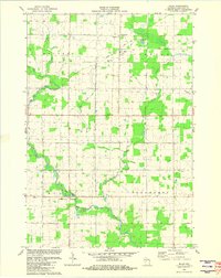 1981 Milan1982 Print · USGSMarathon County farmland and river valleys are captured here in the early eighties. Genealogists and local historians can trace family plots at Township Cem and Peace Ch Cem, or locate the rural hubs of Milan and Cherokee.
 - 1981 Map of Spencer North, 1983 Print
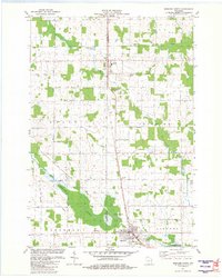 1981 Spencer North1983 Print · USGSSettlements like Unity and Spencer follow the rail corridor along the county line during the early 1980s. Genealogists can locate family landmarks such as St Johns Ch, Trinity Cem, and the expansive Spencer Marsh wetlands.
 - 1982 Map of Mosinee
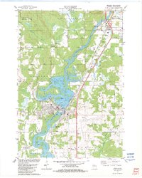 1982 Mosinee1982 Print · USGSCentral Wisconsin during the early eighties shows a landscape shaped by the Wisconsin River and growing aviation infrastructure. Genealogists and local historians can trace the foundations of Mosinee, identifying the Gate of Heaven Cem and the High Sch.
 - 1982 Map of Bevent
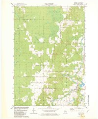 1982 Bevent1982 Print · USGSEastern Marathon County at the start of the eighties shows a landscape of glacial lakes and quiet river valleys. Genealogists can locate family landmarks like Our Saviors Cem or trace rural life near Bevent and St Ladislaus Sch.
 - 1982 Map of Peplin
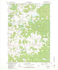 1982 Peplin1982 Print · USGSThe rural landscape of Marathon County in the early eighties centers on the settlement of Peplin and its surrounding townships. Genealogists can locate St John the Baptist Ch, while others can trace industrial markers like the Benders Landing Strip and local Gravel Pits.
 - 1982 Map of Hatley
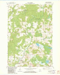 1982 Hatley1982 Print · USGSThe village of Hatley and the community of Norrie are shown here in the early eighties as the railroad still influenced the local layout. Researchers can trace family history at St Florian Sch Cem or explore the shores of Go-To-It Lake and the Plover River.
 - 1982 Map of Wittenberg
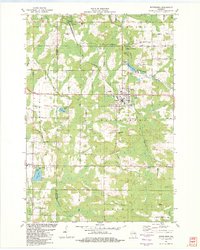 1982 Wittenberg1982 Print · USGSThe village of Wittenberg and surrounding timberlands are documented here in the early eighties, showing a landscape shaped by the Chicago and North Western railroad. Genealogists can trace family heritage at Holy Family Cem or investigate local landmarks like the Homme Home for Boys.
 - 1982 Map of Birnamwood
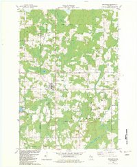 1982 Birnamwood1982 Print · USGSThe village of Birnamwood and its railroad connections are documented here in the early eighties. Genealogists can locate family sites at St Philomena Cem, Forest Cem, and St Johns Ch Cem along the Embarrass River valley.
 - 1982 Map of Ringle
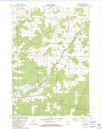 1982 Ringle1982 Print · USGSMarathon County in the early eighties shows a landscape of river-valley industry and quiet crossroads communities. You can trace the Chicago and North Western line through Ringle or locate local landmarks like Easton Sch and the Forestville Cem.
 - 1982 Map of Wien
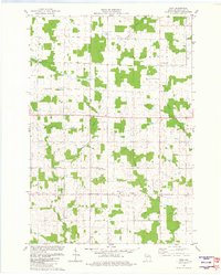 1982 Wien1982 Print · USGSMarathon County dairy country remained a landscape of scattered family farms and tight-knit rural crossroads in the early eighties. Genealogists can trace family roots through the grids of Wuertsburg and Wien, or locate St Johns Ch and the Township Cem.
 - 1982 Map of Mission Lake, 1983 Print
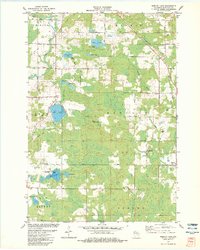 1982 Mission Lake1983 Print · USGSMarathon County’s lake country is captured here in the early 1980s, showing a landscape of glacial eskers and timbered wetlands. Researchers can trace family names on roads like Konkel Road or locate the Evergreen Rest Cem and Elderon Lookout Tower.
 - 1982 Map of Brokaw, 1983 Print
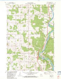 1982 Brokaw1983 Print · USGSThe Wisconsin River valley comes into sharp focus in the early eighties as a hub of paper milling and rail transport. Genealogists can trace family roots through markers like Maple Grove Cem, St John Ch, and the small settlement at Taegesville.
 - 1982 Map of Nutterville, 1983 Print
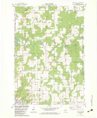 1982 Nutterville1983 Print · USGSMarathon County in the early eighties shows a landscape of river-fed valleys and quiet township life. Researchers can find old family landmarks and country congregations such as St Peter Ch, Mechanic Ridge Cem, and the settlement of Schuett.
 - 1984 Map of Marshfield, 1985 Print
 1984 Marshfield1985 Print · USGSCentral Wisconsin's dairy heartland comes into focus during the mid-eighties as a busy network of rail and farm towns. Researchers can trace the path of the Soo Line, identify the grounds of McMillan State Wildlife Area, and locate smaller settlements like Spokeville and Tioga.2 unique versions available
 - 1984 Map of Wausau, 1990 Print
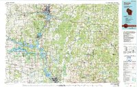 1984 Wausau1990 Print · USGSMarathon and Portage counties come into focus during the mid-eighties as industrial river towns and sprawling conservation areas define the Central Wisconsin landscape. Researchers can trace the rail corridors of the Soo Line or locate rural landmarks like Rib Mountain State Park and St Marys Cem.
End of results
Showing maps 1-25 of 25
Top cities of Marathon County
- Wausau historical maps
- Weston historical maps
- Kronenwetter historical maps
- Rib Mountain historical maps
- Rothschild historical maps
- Mosinee historical maps
See more
Frequently asked questions
- What are the different types of historical maps available for Marathon County?
- What is the oldest map of Marathon County?
- Where can I purchase historical maps of Marathon County for my home or office?
- Where can I download high-res historical maps of Marathon County?
- Are there historical topographic maps available for Marathon County?
- Is there historical aerial imagery available for Marathon County?
- Where are historical maps of Marathon County sourced from?