Old Maps of White Pine Haven, Beecher for Genealogy
Trace your family roots with 13 historic maps of White Pine Haven. These high-res maps reveal old neighborhoods, homesites, landmarks, and streets — helping you uncover where your ancestors lived and how the area evolved over time.
- Explore historic neighborhoods: Identify where your relatives may have lived in the 1800s or 1900s.
- Compare maps over time: Trace the changes in streets, buildings, and landmarks for multi-generational research.
- Perfect for genealogy & ancestry research: Used by family historians and researchers to map out lineage and migration.
These maps are an incredible resource for exploring your personal connection to White Pine Haven's past.
White Pine Haven, Beecher maps
(13)- 1939 Map of Pembine, 1941 Print
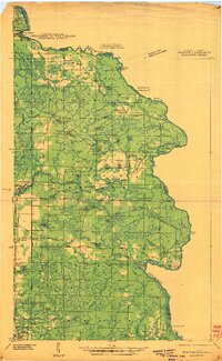 1939 Pembine1941 Print · USGSThe Menominee River borderlands in the late thirties showcase a landscape of granite quarries, rail junctions, and river falls. Trace early settlements and infrastructure including Pembine, the Chalk Hill Dam, and the St Anthony Cem.2 unique versions available
 - 1947 Map of Pembine
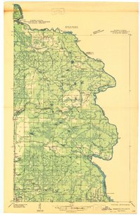 1947 Pembine1947 Print · USGSMarinette County was a landscape of stone quarries and timber-line railroads just after World War II. Researchers can trace rural life through sites like Dixon Sch, the Reformatory Quarry, and the Mission Chapel near Kremlin.
 - 1954 Map of Escanaba, 1967 Print
 1954 Escanaba1967 Print · USGSThe Upper Peninsula and Door County shorelines meet here in the mid-fifties, showing the vital maritime and timber networks of the Great Lakes. Researchers can trace historic rail lines, old fire lookouts like the Stonington Fire Tower, and island settlements such as Washington Island.2 unique versions available
 - 1957 Map of Escanaba
 1957 Escanaba1957 Print · USGSThe Upper Peninsula and Door County shorelines meet in the mid-fifties, capturing a landscape of timber, iron, and maritime trade. Genealogists and local historians can trace the Chicago & North Western RR through settlements like Hermansville or locate St Vitals Church and the Potawatome Indian Reservation.
 - 1958 Map of Escanaba
 1958 Escanaba1958 Print · USGSNorthern Lake Michigan maritime commerce and timberlands are captured here in the mid-fifties. Genealogists and historians can trace rail networks like the Escanaba and Lake Superior or locate island settlements such as Detroit Harbor and Fish Creek.
 - 1963 Map of Pembine, 1964 Print
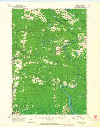 1963 Pembine1964 Print · USGSThe Menominee River borderlands thrive in the early sixties as a crossroads of the Soo Line and Chicago and North Western railroads. Historians can trace the local landscape through landmarks like Smalley Falls, Mission Chapel, and the old Lookout Tower.2 unique versions available
 - 1982 Map of Escanaba
 1982 Escanaba1982 Print · USGSUpper Peninsula timber and mining country come to life in this early 1980s survey of the lakefront and forest interior. Trace family roots and industrial history through settlements like Norway and Gladstone, or locate the Appleton Mine and Fernwood Cem near the rail lines.
 - 1982 Map of Miscauno Island, 1983 Print
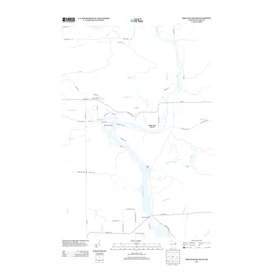
 1982 Miscauno Island1983 Print · USGSThe Menominee River forms the interstate border in the early eighties, winding through a landscape of timber and hydroelectric power. Researchers can locate White Rapids Cem, the Chalk Hill Dam, and the recreation grounds of Miscauno Island.
 - 2011 Map of Miscauno Island, 2011 Print
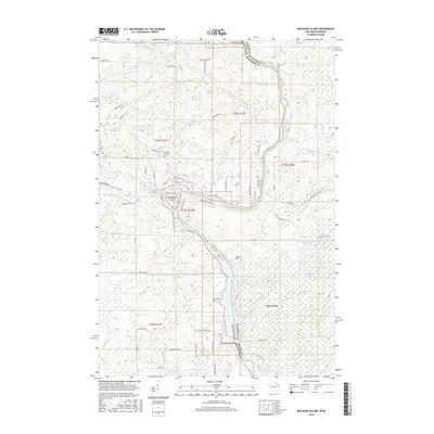
 2011 Miscauno Island2011 Print · USGSCovers White Pine Haven, including Pembine, Amberg, and other nearby areas
 - 2013 Map of Miscauno Island, 2013 Print
 2013 Miscauno Island2013 Print · USGSCovers White Pine Haven, including Pembine, Amberg, and other nearby areas
 - 2016 Map of Miscauno Island, 2016 Print
 2016 Miscauno Island2016 Print · USGSCovers White Pine Haven, including Pembine, Amberg, and other nearby areas
 - 2018 Map of Miscauno Island, 2018 Print
 2018 Miscauno Island2018 Print · USGSCovers White Pine Haven, including Pembine, Amberg, and other nearby areas
 - 2023 Map of Miscauno Island, 2023 Print
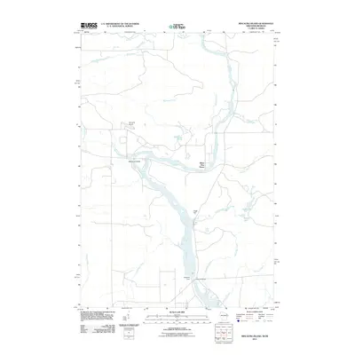
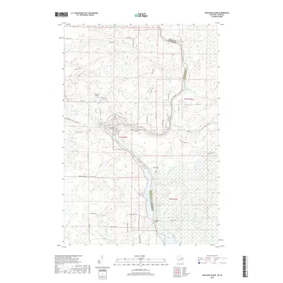
 2023 Miscauno Island2023 Print · USGSThe border between Wisconsin and Michigan is defined here by the winding Menominee River in the early 2020s. Researchers can trace land use around Miscauno Island, find the Shangrila Airport, and locate Pemene Falls.
End of results
Showing maps 1-13 of 13
Top cities near White Pine Haven
- Norway historical maps
- Niagara historical maps
- Pembine historical maps
- Amberg historical maps
- Waucedah historical maps
- Stephenson historical maps
See more
Frequently asked questions
- What are the different types of historical maps available for White Pine Haven?
- What is the oldest map of White Pine Haven?
- Where can I purchase historical maps of White Pine Haven for my home or office?
- Where can I download high-res historical maps of White Pine Haven?
- Are there historical topographic maps available for White Pine Haven?
- Is there historical aerial imagery available for White Pine Haven?
- Where are historical maps of White Pine Haven sourced from?