Old Maps of F (Overlook Farms), Greendale for Genealogy
Trace your family roots with 10 historic maps of F (Overlook Farms). These high-res maps reveal old neighborhoods, homesites, landmarks, and streets — helping you uncover where your ancestors lived and how the area evolved over time.
- Explore historic neighborhoods: Identify where your relatives may have lived in the 1800s or 1900s.
- Compare maps over time: Trace the changes in streets, buildings, and landmarks for multi-generational research.
- Perfect for genealogy & ancestry research: Used by family historians and researchers to map out lineage and migration.
These maps are an incredible resource for exploring your personal connection to F (Overlook Farms)'s past.
F (Overlook Farms), Greendale maps
(10)- 1891 Map of Muskego, 1896 Print
 1891 Muskego1896 Print · USGSCovers F (Overlook Farms), including Milwaukee, Waukesha, and other nearby areas
 - 1901 Map of Muskego
 1901 Muskego1901 Print · USGSCovers F (Overlook Farms), including Milwaukee, Waukesha, and other nearby areas4 unique versions available
 - 1954 Map of Rockford
 1954 Rockford1954 Print · USGSCovers F (Overlook Farms), including Milwaukee, Madison, and other nearby areas
 - 1955 Map of Rockford
 1955 Rockford1955 Print · USGSCovers F (Overlook Farms), including Milwaukee, Madison, and other nearby areas
 - 1958 Map of Rockford, 1974 Print
 1958 Rockford1974 Print · USGSCovers F (Overlook Farms), including Milwaukee, Madison, and other nearby areas4 unique versions available
 - 1959 Map of Hales Corners, 1960 Print
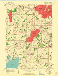 1959 Hales Corners1960 Print · USGSCovers F (Overlook Farms), including Milwaukee, West Allis, and other nearby areas4 unique versions available
 - 1959 Map of Hales Corners, 1980 Print
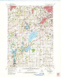 1959 Hales Corners1980 Print · USGSCovers F (Overlook Farms), including Milwaukee, Waukesha, and other nearby areas
 - 1963 Map of Rockford
 1963 Rockford1963 Print · USGSCovers F (Overlook Farms), including Milwaukee, Madison, and other nearby areas
 - 1980 Map of Lake Geneva, 1981 Print
 1980 Lake Geneva1981 Print · USGSCovers F (Overlook Farms), including Milwaukee, Waukesha, and other nearby areas
 - 2022 Map of Hales Corners, 2022 Print
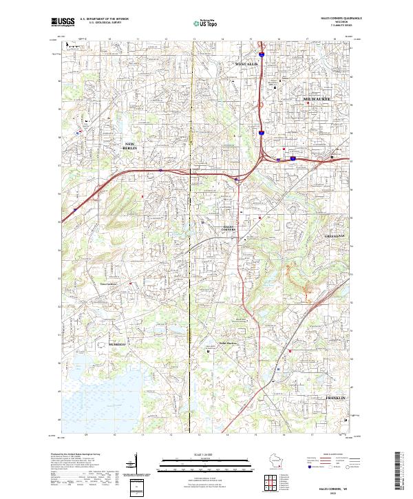 2022 Hales Corners2022 Print · USGSCovers F (Overlook Farms), including Milwaukee, West Allis, and other nearby areas
End of results
Showing maps 1-10 of 10
Frequently asked questions
- What are the different types of historical maps available for F (Overlook Farms)?
- What is the oldest map of F (Overlook Farms)?
- Where can I purchase historical maps of F (Overlook Farms) for my home or office?
- Where can I download high-res historical maps of F (Overlook Farms)?
- Are there historical topographic maps available for F (Overlook Farms)?
- Is there historical aerial imagery available for F (Overlook Farms)?
- Where are historical maps of F (Overlook Farms) sourced from?