2010s Maps of Monroe County, Wisconsin
Explore 120 historic maps of Monroe County from the 2010s. These maps offer a rare glimpse into what life looked like during the 2010s — showing old roads, neighborhoods, homes, and landmarks that have changed or disappeared over time.
Whether you're researching your family's past, planning a metal detecting trip, or studying how Monroe County's landscape evolved across the 2010s, these high-resolution maps are a powerful tool for exploring the history of this region.
- Focus on a specific era: All maps on this page are from the 2010s, giving you a focused view of this time period.
- See what’s changed: Compare century-old streets, trails, and buildings to today's modern landscape using overlays and satellite layers.
- Research with precision: Use these maps for genealogy, historical research, land use analysis, or educational projects.
- View, download, or print: Maps are fully viewable online in high resolution, and can be downloaded or printed for your own records.
Start exploring Monroe County's history through authentic maps from the 2010s. This is your window into the past.
Monroe County, WI maps
(120)- 2010 Map of Shamrock, 2010 Print
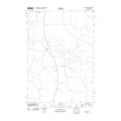 2010 Shamrock2010 Print · USGSWisconsin's rural Jackson County is captured here at the start of the 2010s, centered on the historic crossroads of Shamrock. Local researchers can locate Saint Columkille Cemetery and trace the winding waters of Robinson Creek past the landmark Fall Hall Glen.
 - 2010 Map of Shennington, 2010 Print
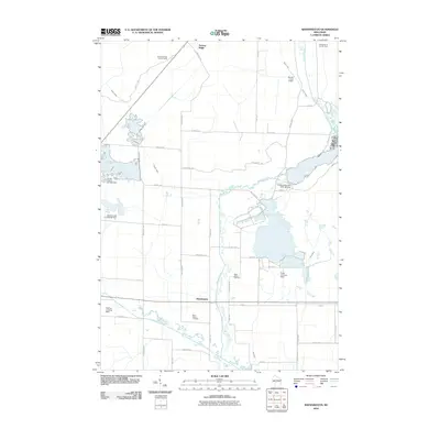 2010 Shennington2010 Print · USGSWisconsin’s central sand plains come into focus in this late-aughts survey of Juneau County. Local researchers can trace the rural infrastructure of Shennington, from the Norway Ridge Lookout Tower to family-named sites like Saint Peters Cemetery.
 - 2010 Map of Millston, 2010 Print
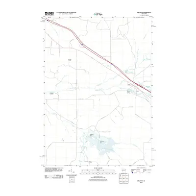 2010 Millston2010 Print · USGSJackson County at the start of the decade reveals a landscape shaped by water and woods near Millston. Genealogists and historians can trace local landmarks like Brookside Cemetery and the Oak Ridge Fire Tower or locate the settlement at Lees Crossing.
 - 2010 Map of Mather, 2010 Print
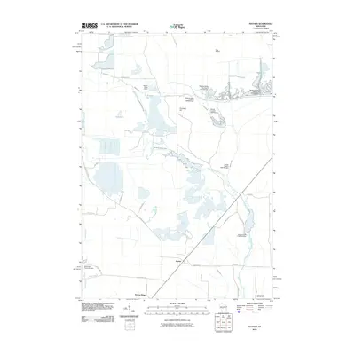 2010 Mather2010 Print · USGSMather and Norway Ridge were hubs of activity in central Wisconsin during the early twenty-first century, surrounded by a complex system of dams and flowages. Researchers can trace the water-management history of the region through labels like the Meadow Valley Flowage 2WP395 Dam and 16 Reservoir.
 - 2010 Map of Warrens West, 2010 Print
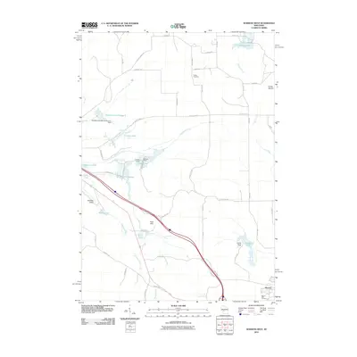 2010 Warrens West2010 Print · USGSThe cranberry-growing region around Monroe County is captured here in the early twenty-first century, showing a landscape defined by water flowages and rural cemeteries. Researchers can trace family history at Warren Mills Cemetery or locate distinct landmarks like Knapp Mound and Castle Rock.
 - 2010 Map of Melrose, 2010 Print
 2010 Melrose2010 Print · USGSThe Black River valley near Melrose and Irving comes into sharp focus during the early twenty-first century. Genealogists and local historians can trace family locations near the Irving Cemetery, the Melrose Dam, and distinctive landmarks like Sugar Loaf.
 - 2010 Map of Cataract, 2010 Print
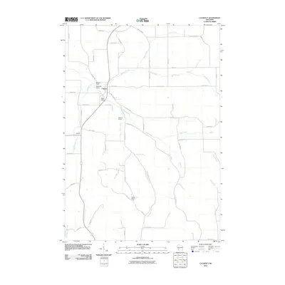 2010 Cataract2010 Print · USGSMonroe County's rural valleys and small-town center are captured here in the decade following the millennium. Genealogists and local historians can locate Carr Cemetery and trace the drainage of Jenkins Valley Creek near the Cataract Lookout Tower.
 - 2010 Map of Tunnel City, 2010 Print
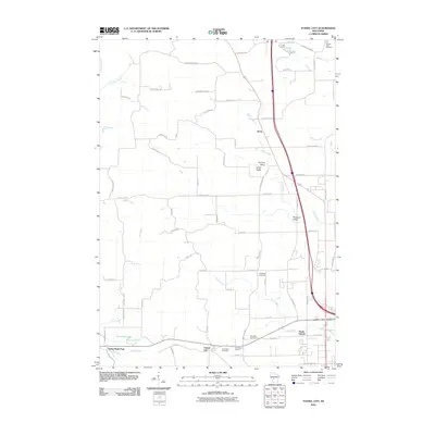 2010 Tunnel City2010 Print · USGSMonroe County at the start of the decade reveals a landscape of named valleys and rural cemeteries branching out from Tunnel City. Genealogists and local historians can locate family plots at Warren Mills Cemetery, LaGrange Cemetery, and Saint Marys Cemetery.
 - 2010 Map of Alderwood Lake, 2010 Print
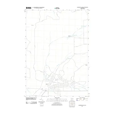 2010 Alderwood Lake2010 Print · USGSMonroe County was defined by its military and river geography in the early twenty-first century. Genealogists and historians can trace the bounds of Camp McCoy and locate family landmarks like Lafayette Cemetery or the settlement of Lemon Valley.
 - 2010 Map of Wyeville, 2010 Print
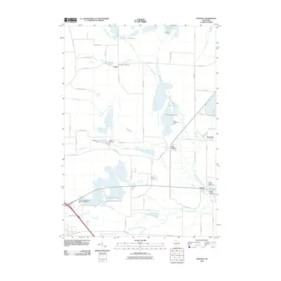 2010 Wyeville2010 Print · USGSMonroe County's water-managed landscapes come into focus here as the two forks of the Lemonweir River meet. Genealogists and local historians can trace burial sites at Dannavang Cemetery and Wood Cemetery or examine early industrial footprints like the Water Mill Dam.
 - 2010 Map of Ontario, 2010 Print
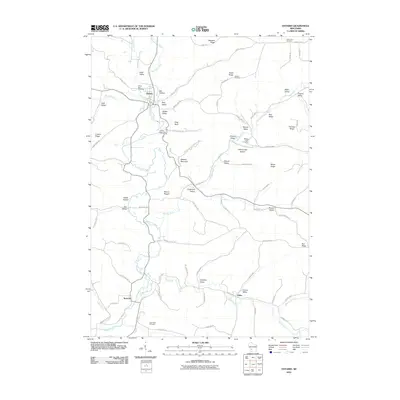 2010 Ontario2010 Print · USGSThe Kickapoo River valley near Ontario and Rockton is showcased here during the early twenty-first century. Researchers can trace ancestral connections and local land use through landmarks like Hilltop Rest Cemetery, Johnnycake Hollow, and the terrain of Wildcat Mountain State Park.
 - 2010 Map of Kendall West, 2010 Print
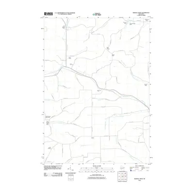 2010 Kendall West2010 Print · USGSMonroe County's dissected plateau comes into focus in the early twenty-first century as a network of ridges and valley settlements. Genealogists and hikers can trace the Elroy Sparta State Trl through the Number One Tunnel or locate ancestors at Dorset Ridge Cemetery.
 - 2010 Map of Melvina, 2010 Print
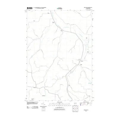 2010 Melvina2010 Print · USGSThe valleys and coulees of Monroe County are documented here as they appeared in the early 2000s. Genealogists and local historians can trace the rural communities of Melvina and Portland, alongside landmarks like Union Cemetery and Pinnacle Rock Pond.
 - 2010 Map of Sparta, 2010 Print
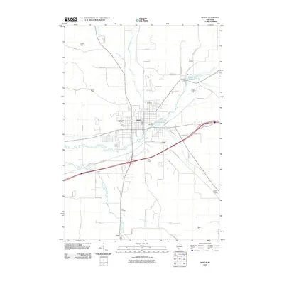 2010 Sparta2010 Print · USGSMonroe County in the late 2000s shows a landscape defined by the winding La Crosse River and the established hub of Sparta. Researchers can trace local heritage through numerous burial sites like Mount Hope Cemetery or follow the path of the Elroy Sparta State Trl.
 - 2010 Map of Trippville, 2010 Print
 2010 Trippville2010 Print · USGSThe rural crossroads of Vernon County are mapped here in the early 2000s, showing a landscape shaped by narrow valleys and high ridges. Genealogists can trace family names across several local burial sites, including Bohemian Brotherhood Cemetery and Mount Tabor Cemetery.
 - 2010 Map of Saint Marys, 2010 Print
 2010 Saint Marys2010 Print · USGSThe rural uplands of Monroe County are documented here as they appeared recently, centered on the settlement of Saint Marys. Researchers can trace the path of the Elroy Sparta State Trl through Number Three Tunnel or locate ancestral sites at Summit Ridge Cemetery and Saint Jacobs Cemetery.
 - 2010 Map of Oakdale, 2010 Print
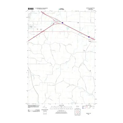 2010 Oakdale2010 Print · USGSMonroe County is captured here in the early twenty-first century, showing the meeting of major transit corridors and rural waterways. Genealogists and local historians can trace landmarks like Oakdale Cemetery, Bloyer Field, and the distinctive Camels Hump.
 - 2010 Map of Westby, 2010 Print
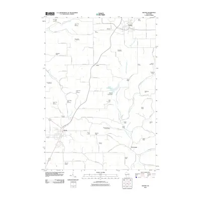 2010 Westby2010 Print · USGSVernon County ridge country is captured here during the first decade of the 2000s, showing the agricultural heartland between Westby and Cashton. Family researchers can locate numerous rural burial grounds like Bethesda Cemetery and Moen Cemetery among the high peaks of Rongstad Ridge.
 - 2010 Map of Tomah, 2010 Print
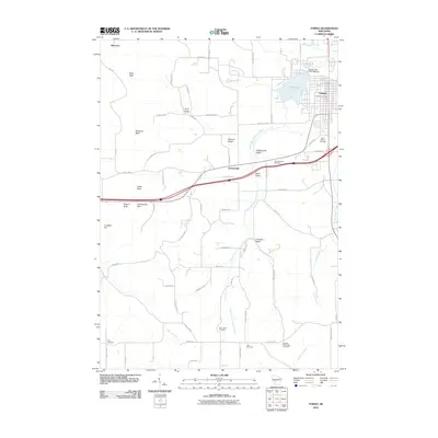 2010 Tomah2010 Print · USGSTomah and the surrounding Monroe County countryside are detailed here during the late 2000s, showing the intersection of river valleys and rising bluffs. Researchers can locate many local burial sites such as Aney Cemetery and Noth Cemetery, or trace landmarks like Engine Rock and Lake Tomah.
 - 2010 Map of Dell, 2010 Print
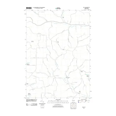 2010 Dell2010 Print · USGSThe ridges and coulees of Monroe County are finely detailed here during the early twenty-first century. Local historians can trace family land via Bad Axe Cemetery and explore the rural road networks surrounding Dell and Potts Corners.
 - 2010 Map of Wilton, 2010 Print
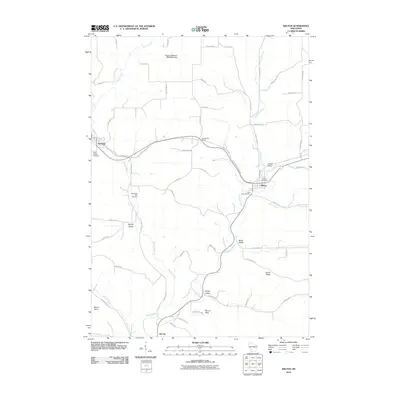 2010 Wilton2010 Print · USGSMonroe County's ridge-and-valley country is shown here in the early twenty-first century, centered on the villages of Norwalk and Wilton. Local historians can trace the Elroy Sparta State Trl through Number Two Tunnel or find family roots at Wanderers Rest Cemetery.
 - 2010 Map of Camp Douglas, 2010 Print
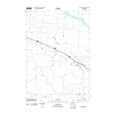 2010 Camp Douglas2010 Print · USGSCamp Douglas and the surrounding bluffs of Monroe County are shown here at the start of the 2010s. Local historians and genealogists can locate Volk Field, Sorenson Cemetery, and the sandstone formations at Devils Monument and Castle Rock.
 - 2010 Map of Hillsboro, 2010 Print
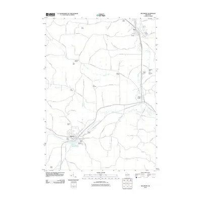 2010 Hillsboro2010 Print · USGSThe Baraboo River valley in the early twenty-first century shows a landscape where historic towns and newer recreational trails converge. Researchers can locate family heritage sites at Mount Vernon Cemetery or trace the rural character of Millards Prairie and Dutch Valley.
 - 2010 Map of Esofea, 2010 Print
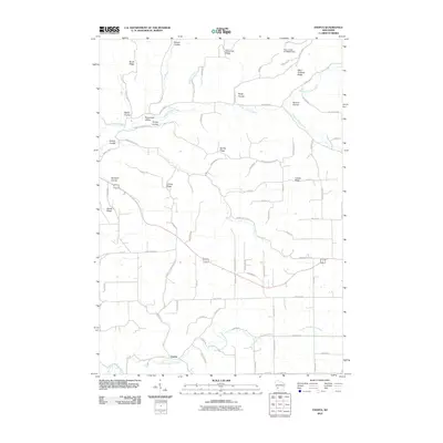 2010 Esofea2010 Print · USGSWisconsin's driftless region comes to life in this modern-era study of the ridges and coulees around the Esofea settlement. Researchers can trace family-named landmarks and rural routes through Bohemian Valley, Lindvig Ridge, and along the North Fork Bad Axe River.
 - 2010 Map of Middle Ridge, 2010 Print
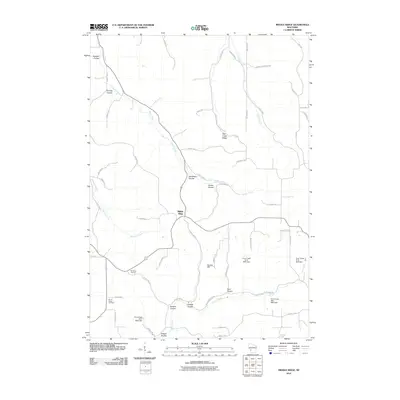 2010 Middle Ridge2010 Print · USGSThe ridge-and-coulee country of Monroe County is captured here in the early twenty-first century, showing a landscape defined by steep topography. Researchers can trace rural cemeteries like North Ridge Cemetery and explore named valleys such as Russian Coulee and Sedevie Coulee.
Showing maps 1-25 of 120
Top cities of Monroe County
- Sparta historical maps
- Sparta historical maps
- Tomah historical maps
- Angelo historical maps
- Cashton historical maps
- Leon historical maps
See more
Frequently asked questions
- What are the different types of historical maps available for Monroe County?
- What is the oldest map of Monroe County?
- Where can I purchase historical maps of Monroe County for my home or office?
- Where can I download high-res historical maps of Monroe County?
- Are there historical topographic maps available for Monroe County?
- Is there historical aerial imagery available for Monroe County?
- Where are historical maps of Monroe County sourced from?