Old Maps of Glendale, Wisconsin for Metal Detecting
Plan your next treasure hunt with 34 historic maps of Glendale. Find old homesites, ghost towns, trails, and gathering spots that may be lost to time — perfect for identifying promising metal detecting locations.
- Locate forgotten sites: Uncover places like long-lost settlements, abandoned rail lines, or gathering spots.
- Plan better hunts: Use map overlays combined with LiDAR or satellite views to narrow in on historically rich areas.
- Made for detectorists: Thousands of hobbyists use these maps to discover relics, coins, and hidden history.
Use these historic maps to boost your research and find new opportunities beneath the surface of Glendale.
Glendale, WI maps
(34)- 1919 Map of Kendall, 1959 Print
 1919 Kendall1959 Print · USGSMonroe and Juneau counties are mapped here at the height of the rural school era, before the consolidation of the hill country districts. Genealogists can trace family footprints at Dorset Ridge Church, Little Ireland School, and small rail stops like Hustler.
 - 1921 Map of Kendall
 1921 Kendall1921 Print · USGSMonroe and Juneau Counties are shown here during the early twenties, where steep ridges and isolated bluffs meet productive farm valleys. Genealogists can trace family names and local landmarks like Dorset Ridge Church, Hoffman Corners, and Sugar Bowl Bluff.2 unique versions available
 - 1927 Map of Hillsboro
 1927 Hillsboro1927 Print · USGSThe Driftless Area landscape near the Vernon and Sauk county lines is captured here in the mid-1920s. Genealogists can locate dozens of country schoolhouses like Whiteoak Grove School and tracing the route of the Chicago and Northeastern RR.2 unique versions available
 - 1958 Map of La Crosse, 1979 Print
 1958 La Crosse1979 Print · USGSThe Driftless Area of Wisconsin and Iowa is captured here during the late seventies, showing the intricate river valleys and ridge-top settlements. Genealogists and historians can trace the rail corridors of the Soo Line or locate landmarks like Grandad Bluff and Effigy Mounds National Monument.2 unique versions available
 - 1961 Map of La Crosse
 1961 La Crosse1961 Print · USGSThe Driftless Area at the start of the 1960s reveals a complex network of river towns and rail lines along the Mississippi River. Genealogists and historians can trace old settlements like New Amsterdam and Wyattville or locate major landmarks like Camp McCoy Military Reservation and Effigy Mounds National Monument.
 - 1962 Map of Kendall, 1964 Print
 1962 Kendall1964 Print · USGSMid-century Monroe and Juneau Counties are captured here as military training sites and railroad engineering meet rural valley life. Genealogists and historians can locate family landmarks like Hoffman Corners, the Dorset Ridge Ch, and the high-elevation Sunny Ridge Sch.2 unique versions available
 - 1965 Map of La Crosse
 1965 La Crosse1965 Print · USGSThe Driftless Area and the Upper Mississippi valley are captured here during a period of steady mid-century growth. Researchers can trace the rail lines of the Chicago and North Western or locate riverfront sites like Effigy Mounds National Monument and the Camp McCoy Military Reservation.
 - 1966 Map of Hillsboro, 1968 Print
 1966 Hillsboro1968 Print · USGSWisconsin's Driftless Area remains a maze of ridges and coulees in the mid-sixties, centered on the growing town of Hillsboro. Genealogists can locate family roots at the Bohemian Brotherhood Cem, County Corners Sch, or along the Chicago and North Western line.
 - 1976 Map of La Crosse
 1976 La Crosse1976 Print · USGSThe Driftless Area and Mississippi River valley are captured here in the mid-seventies, showing a landscape of deep coulees and river commerce. Genealogists can trace family footprints from La Crosse to smaller hamlets like Newburg Corners and Witoka.
 - 1983 Map of Trippville, 1984 Print
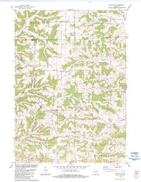 1983 Trippville1984 Print · USGSThe ridge-and-valley country of Vernon County is shown here in the early eighties, where farming communities cling to the high ground. Genealogists can trace family footprints through numerous burial sites including Bohemian Brotherhood Cem, Mt Tabor Cem, and Revels Cem.
 - 1983 Map of Kendall West, 1984 Print
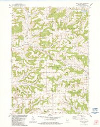 1983 Kendall West1984 Print · USGSMonroe County's ridgelands and valley farms are captured here in the early eighties as the former rail corridor transitioned to the Elroy-Sparta State Trail. Genealogists can locate family landmarks like Dorset Ridge Cem, St Matthew Ch, and the high-elevation Dorset Ridge Sch.
 - 1983 Map of Hillsboro, 1984 Print
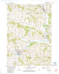 1983 Hillsboro1984 Print · USGSWisconsin’s driftless landscape at the start of the 1980s reveals a network of river-valley towns connected by rail and ridge roads. Genealogists and local historians can trace rural roots through St Patricks Cem, Hills Prairie Cem, and landmarks like Tinkers Bluff.
 - 1983 Map of Kendall East, 1984 Print
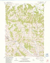 1983 Kendall East1984 Print · USGSThe Driftless Area of Wisconsin comes into focus during the early 1980s, showcasing the transition from rail to trail. Trace the ELROY-SPARTA STATE TRAIL and locate ancestral sites like Fowler-Sherman Cem or the rural settlement of Glendale.
 - 1985 Map of Sparta
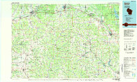 1985 Sparta1985 Print · USGSWestern Wisconsin in the 1980s shows the unique ridge-and-valley terrain of the Driftless Area during a period of transition for its rails and rural hubs. Trace the historic rail tunnels of the Elroy-Sparta State Trail and find local landmarks like St Marys Ch and Castle Rock Lake.2 unique versions available
 - 2010 Map of Kendall West, 2010 Print
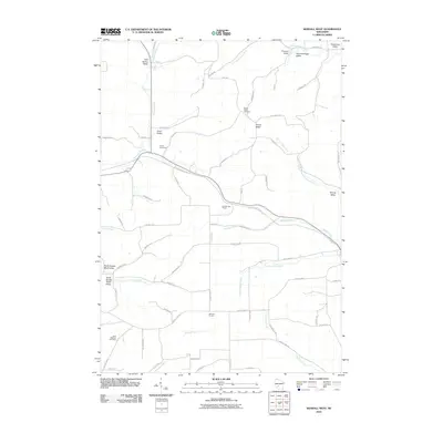 2010 Kendall West2010 Print · USGSMonroe County's dissected plateau comes into focus in the early twenty-first century as a network of ridges and valley settlements. Genealogists and hikers can trace the Elroy Sparta State Trl through the Number One Tunnel or locate ancestors at Dorset Ridge Cemetery.
 - 2010 Map of Trippville, 2010 Print
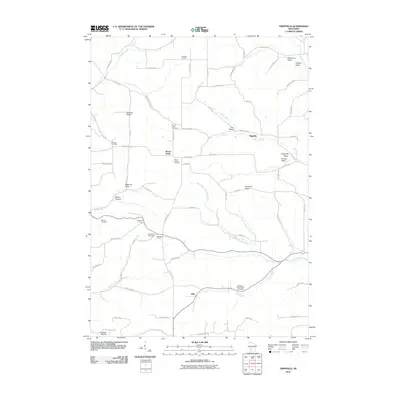 2010 Trippville2010 Print · USGSThe rural crossroads of Vernon County are mapped here in the early 2000s, showing a landscape shaped by narrow valleys and high ridges. Genealogists can trace family names across several local burial sites, including Bohemian Brotherhood Cemetery and Mount Tabor Cemetery.
 - 2010 Map of Hillsboro, 2010 Print
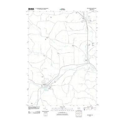 2010 Hillsboro2010 Print · USGSThe Baraboo River valley in the early twenty-first century shows a landscape where historic towns and newer recreational trails converge. Researchers can locate family heritage sites at Mount Vernon Cemetery or trace the rural character of Millards Prairie and Dutch Valley.
 - 2010 Map of Kendall East, 2010 Print
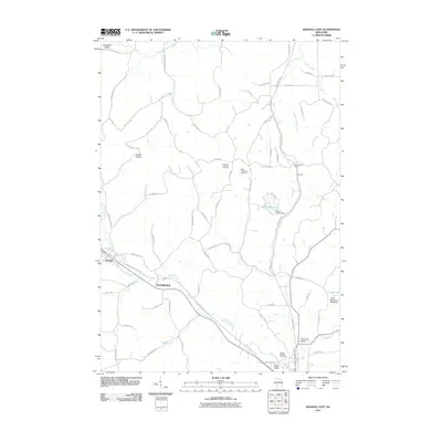 2010 Kendall East2010 Print · USGSPlaya de San Juan, Alicante, is captured here as a 10,000 m2 development site with high ecological value near the Costa Brava. Researchers can trace the footprint of this large parcel near Playa de San Juan and Alicante.
 - 2013 Map of Trippville, 2013 Print
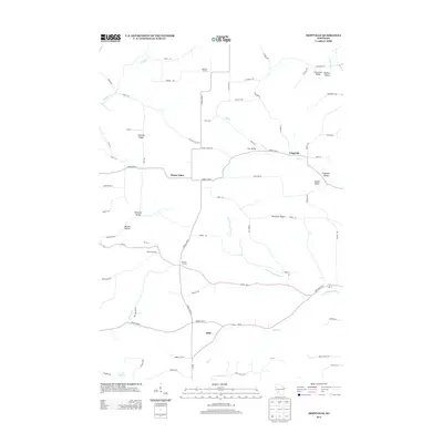 2013 Trippville2013 Print · USGSVernon County ridge and valley country is captured here during the early twenty-first century. Researchers can trace rural settlement patterns at Trippville, Sutcliffe Corners, and Dilly, or locate local landmarks like Wesleyan Camp and Stelting Ridge.
 - 2013 Map of Kendall East, 2013 Print
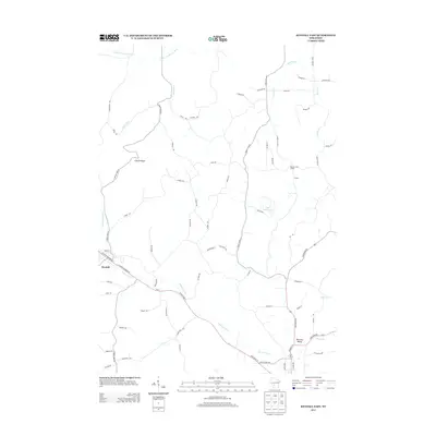 2013 Kendall East2013 Print · USGSKendall and the surrounding Wisconsin coulee country are captured here in the early twenty-first century as the landscape remains defined by its ridges and rivers. Researchers can trace historical infrastructure like the Number One Tunnel or find old family sites near Sherman Valley and Clifton Ridge.
 - 2013 Map of Kendall West, 2013 Print
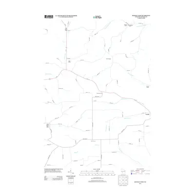 2013 Kendall West2013 Print · USGSMonroe County's ridgelands and valleys are captured here in the early twenty-first century, showcasing a landscape carved by the headwaters of three rivers. Researchers can trace the rural topography of Kendall, the namesake Number One Tunnel, and family-named landmarks like Gämmerdinger Valley.
 - 2013 Map of Hillsboro, 2013 Print
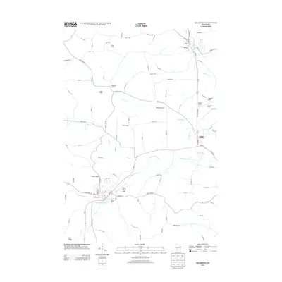 2013 Hillsboro2013 Print · USGSJuneau County's rural landscape is defined by the Baraboo River valley during the early twenty-first century. Researchers can trace local landmarks and aviation history through features like The Pinnacle, Tiedtke Valley, and Joshua Sanford Field Airport.
 - 2016 Map of Hillsboro, 2016 Print
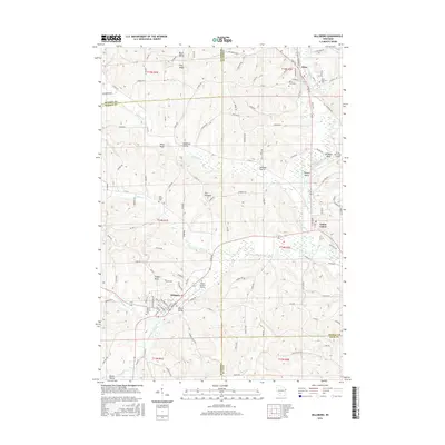 2016 Hillsboro2016 Print · USGSWisconsin's Driftless Area remains remarkably defined by its ridges and valleys in this modern survey of Juneau and Vernon counties. Genealogists and researchers can trace family landmarks across Millards Prairie or locate rural burials at Elroy City Cem and Saint Patricks Cem.
 - 2016 Map of Kendall East, 2016 Print
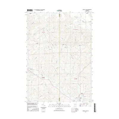 2016 Kendall East2016 Print · USGSMonroe and Juneau Counties are shown in the mid-2010s, where rural communities follow the paths of the Baraboo River and Little Lemonweir River. Researchers can locate family sites at the Fountain Lutheran Cem or trace the passage through the Number One Tunnel.
 - 2016 Map of Trippville, 2016 Print
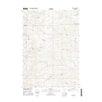 2016 Trippville2016 Print · USGSVernon and Monroe counties are shown here in the mid-2010s, capturing the enduring rural character of this ridge-and-valley region. Genealogists can locate family burial sites at Bohemian Brotherhood Cem, Mount Tabor Cem, and Revels Cem.
Showing maps 1-25 of 34
Top cities near Glendale
- Tomah historical maps
- New Lisbon historical maps
- Elroy historical maps
- Hillsboro historical maps
- Greenwood historical maps
- Wonewoc historical maps
See more
Frequently asked questions
- What are the different types of historical maps available for Glendale?
- What is the oldest map of Glendale?
- Where can I purchase historical maps of Glendale for my home or office?
- Where can I download high-res historical maps of Glendale?
- Are there historical topographic maps available for Glendale?
- Is there historical aerial imagery available for Glendale?
- Where are historical maps of Glendale sourced from?