Old Maps of Greenfield, Wisconsin for Academic Research
Study the evolution of Greenfield with 39 high-resolution historic maps. Whether you're teaching, researching, or modeling changes in land use, these maps provide essential visual documentation of urban, environmental, and geographic change.
- Analyze long-term change: Track patterns in development, transportation, and natural features.
- Ideal for environmental or urban studies: Support academic projects with primary historical map data.
- Use in the classroom or lab: Educators and researchers rely on these maps to bring historical context to life.
These maps are a powerful tool for teaching, research, and visualizing how Greenfield has changed over the decades.
Greenfield, WI maps
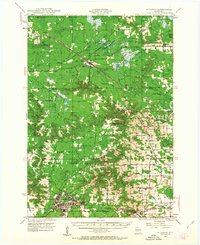
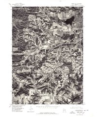
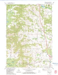
(39)- 1916 Map of Tomah
 1916 Tomah1916 Print · USGSMonroe County is defined by its strategic rail junctions and military training grounds in the years before the Great War. Genealogists can trace rural life through sites like St Marys, Hopville School, and the Sparta Target Range.2 unique versions available
 - 1947 Map of Millston, 1963 Print
 1947 Millston1963 Print · USGSMid-century Jackson and Monroe counties are captured here just after the war, showing the expansion of military and rail infrastructure. Genealogists can locate family sites near North Tomah or trace rural landmarks like Tarr Valley Sch and La Grange Cem.4 unique versions available
 - 1949 Map of Millston
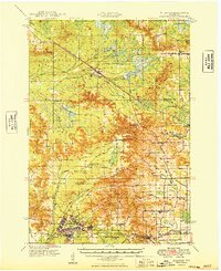 1949 Millston1949 Print · USGSWisconsin's central cranberry and timber country is captured here in the late 1940s as the regional rail network anchored rural life. Researchers can trace the layout of the Camp McCoy Military Reservation or locate family sites near Millston, Tunnel City, and several rural schoolhouses like White School.
 - 1949 Map of Tomah
 1949 Tomah1949 Print · USGSMonroe County in the late forties shows a landscape defined by the heavy rail corridors of the Chicago and North Western and the expanding Camp Mc Coy Military Reservation. Researchers can locate dozens of rural landmarks, from Tunnel Joint Sch and St Marys Ch to the old rail stop at Scotts Junction.
 - 1953 Map of Eau Claire, 1965 Print
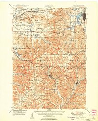
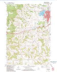
 1953 Eau Claire1965 Print · USGSWest-central Wisconsin in the mid-fifties shows a landscape of river-valley industry and vast wildlife refuges during the transition from rails to modern highways. Genealogists and historians can trace the rail corridors of the Chicago and North Western or locate family-named landmarks like Decorah Mound and Chippewa Island.4 unique versions available
 - 1958 Map of Eau Claire
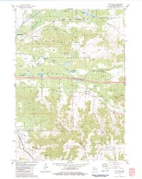
 1958 Eau Claire1958 Print · USGSWestern Wisconsin in the late fifties shows a landscape of growing regional hubs and massive wildlife refuges. Trace the rail lines of the Chicago and North Western between Eau Claire and Marshfield, or explore the terrain around Iron Mound and Lake Wissota.
 - 1958 Map of La Crosse, 1979 Print
 1958 La Crosse1979 Print · USGSThe Driftless Area of Wisconsin and Iowa is captured here during the late seventies, showing the intricate river valleys and ridge-top settlements. Genealogists and historians can trace the rail corridors of the Soo Line or locate landmarks like Grandad Bluff and Effigy Mounds National Monument.2 unique versions available
 - 1961 Map of La Crosse
 1961 La Crosse1961 Print · USGSThe Driftless Area at the start of the 1960s reveals a complex network of river towns and rail lines along the Mississippi River. Genealogists and historians can trace old settlements like New Amsterdam and Wyattville or locate major landmarks like Camp McCoy Military Reservation and Effigy Mounds National Monument.
 - 1964 Map of Eau Claire
 1964 Eau Claire1964 Print · USGSWest-central Wisconsin in the mid-1960s was a hub of river-driven industry and expanding rail networks. Researchers can trace historic homesteads near Menomonie, follow the Soo Line RR through Marshfield, or explore the grounds of the Camp McCoy Military Reservation.
 - 1965 Map of La Crosse
 1965 La Crosse1965 Print · USGSThe Driftless Area and the Upper Mississippi valley are captured here during a period of steady mid-century growth. Researchers can trace the rail lines of the Chicago and North Western or locate riverfront sites like Effigy Mounds National Monument and the Camp McCoy Military Reservation.
 - 1976 Map of La Crosse
 1976 La Crosse1976 Print · USGSThe Driftless Area and Mississippi River valley are captured here in the mid-seventies, showing a landscape of deep coulees and river commerce. Genealogists can trace family footprints from La Crosse to smaller hamlets like Newburg Corners and Witoka.
 - 1976 Map of Tomah NW, 1978 Print
 1976 Tomah NW1978 Print · USGSMonroe County was undergoing significant land-use changes in the mid-1970s as agricultural fields and military lands converged. Researchers can trace the boundaries of Old Camp Mc Coy and follow the natural drainage of the La Crosse River and Silver Creek.
 - 1976 Map of Tomah NE, 1978 Print
 1976 Tomah NE1978 Print · USGSMonroe County farmland and the growing city of Tomah are captured in detail during the mid-seventies. Researchers can trace the development of residential blocks around Lake Tomah and locate the rural crossroads at Ridgeville.2 unique versions available
 - 1983 Map of Tomah, 1984 Print
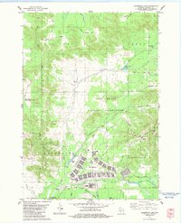
 1983 Tomah1984 Print · USGSTomah and its surrounding townships are shown here in the early eighties, where the regional rail hub meets the eastern edge of the Fort McCoy Military Reservation. Genealogists and local historians can trace rural family plots at Oak Grove and St. Johns, or locate community landmarks like Jacksonville and the East Ridgeville School.
 - 1983 Map of City Rock, 1984 Print
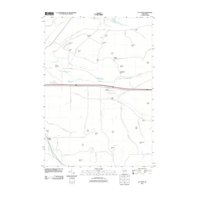
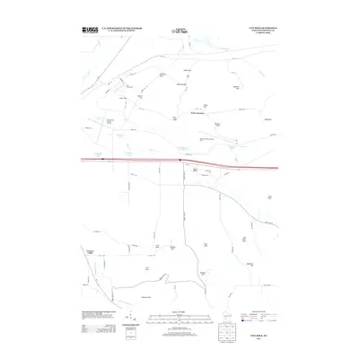
 1983 City Rock1984 Print · USGSMonroe County's landscape in the early eighties shows the massive Fort Mc Coy Military Reservation alongside traditional farming valleys. Researchers can trace family history at Mound Prairie Cem and identify geologic landmarks like Chimney Rock and Jeff Davis Rock.
 - 1983 Map of Alderwood Lake, 1984 Print
 1983 Alderwood Lake1984 Print · USGSMonroe County was a blend of military training grounds and wetlands in the early eighties. You can trace the layout of Fort McCoy, locate the Lafayette Cem, or follow the C M St P & P rail line through Tarr Valley.
 - 1983 Map of Tunnel City, 1984 Print
 1983 Tunnel City1984 Print · USGSMonroe County's rail-and-creek landscape is captured here in the early eighties. Genealogists can trace family plots at Boyonton Cem and LaGrange Cem or locate the junction of the Chicago & NW and Milwaukee St Paul and Pacific at Tunnel City.
 - 1985 Map of Black River Falls
 1985 Black River Falls1985 Print · USGSCentral Wisconsin in the mid-1980s is defined by its sprawling wildlife refuges and the winding Black River corridor. Genealogists and researchers can trace rural settlements like Millston and Warrens or locate historical sites such as the Iron Mine and the grounds of Fort McCoy.2 unique versions available
 - 1985 Map of Sparta
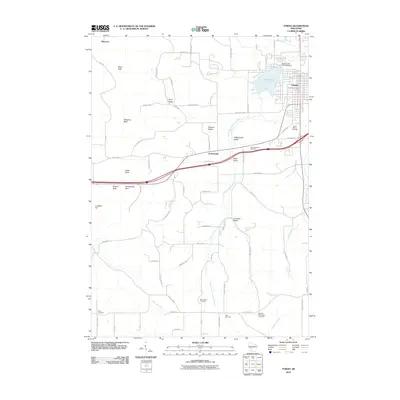
 1985 Sparta1985 Print · USGSWestern Wisconsin in the 1980s shows the unique ridge-and-valley terrain of the Driftless Area during a period of transition for its rails and rural hubs. Trace the historic rail tunnels of the Elroy-Sparta State Trail and find local landmarks like St Marys Ch and Castle Rock Lake.2 unique versions available
 - 2010 Map of Tunnel City, 2010 Print
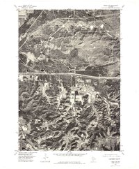
 2010 Tunnel City2010 Print · USGSCovers Greenfield, including Tomah, Warrens, and other nearby areas
 - 2010 Map of Alderwood Lake, 2010 Print
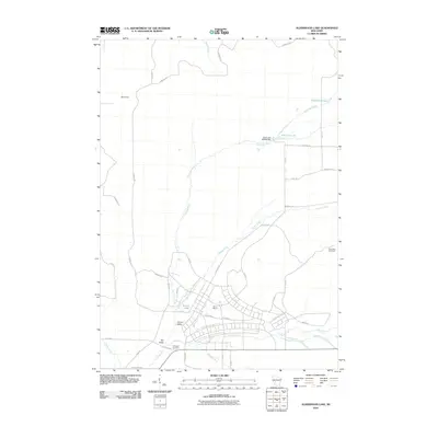 2010 Alderwood Lake2010 Print · USGSCovers Greenfield, including Grant, New Lyme, and other nearby areas
 - 2010 Map of Tomah, 2010 Print
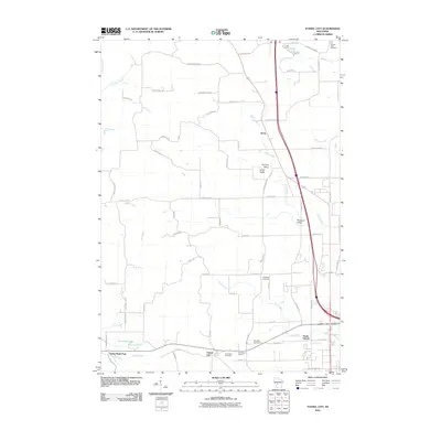
 2010 Tomah2010 Print · USGSCovers Greenfield, including Tomah, Jacksonville, and other nearby areas
 - 2010 Map of City Rock, 2010 Print
 2010 City Rock2010 Print · USGSCovers Greenfield, including Angelo, Farmers Valley, and other nearby areas
 - 2013 Map of Tomah, 2013 Print
 2013 Tomah2013 Print · USGSCovers Greenfield, including Tomah, Jacksonville, and other nearby areas
 - 2013 Map of City Rock, 2013 Print
 2013 City Rock2013 Print · USGSCovers Greenfield, including Angelo, Farmers Valley, and other nearby areas
Showing maps 1-25 of 39
Top cities near Greenfield
- Sparta historical maps
- Sparta historical maps
- Tomah historical maps
- Brockway historical maps
- Angelo historical maps
- Leon historical maps
See more
Top neighborhoods of Greenfield
Frequently asked questions
- What are the different types of historical maps available for Greenfield?
- What is the oldest map of Greenfield?
- Where can I purchase historical maps of Greenfield for my home or office?
- Where can I download high-res historical maps of Greenfield?
- Are there historical topographic maps available for Greenfield?
- Is there historical aerial imagery available for Greenfield?
- Where are historical maps of Greenfield sourced from?