Old Maps of Norwalk, Wisconsin for Metal Detecting
Plan your next treasure hunt with 19 historic maps of Norwalk. Find old homesites, ghost towns, trails, and gathering spots that may be lost to time — perfect for identifying promising metal detecting locations.
- Locate forgotten sites: Uncover places like long-lost settlements, abandoned rail lines, or gathering spots.
- Plan better hunts: Use map overlays combined with LiDAR or satellite views to narrow in on historically rich areas.
- Made for detectorists: Thousands of hobbyists use these maps to discover relics, coins, and hidden history.
Use these historic maps to boost your research and find new opportunities beneath the surface of Norwalk.
Norwalk, WI maps
(19)- 1916 Map of Tomah
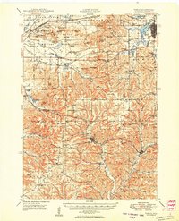
 1916 Tomah1916 Print · USGSMonroe County is defined by its strategic rail junctions and military training grounds in the years before the Great War. Genealogists can trace rural life through sites like St Marys, Hopville School, and the Sparta Target Range.2 unique versions available
 - 1949 Map of Tomah
 1949 Tomah1949 Print · USGSMonroe County in the late forties shows a landscape defined by the heavy rail corridors of the Chicago and North Western and the expanding Camp Mc Coy Military Reservation. Researchers can locate dozens of rural landmarks, from Tunnel Joint Sch and St Marys Ch to the old rail stop at Scotts Junction.
 - 1958 Map of La Crosse, 1979 Print
 1958 La Crosse1979 Print · USGSThe Driftless Area of Wisconsin and Iowa is captured here during the late seventies, showing the intricate river valleys and ridge-top settlements. Genealogists and historians can trace the rail corridors of the Soo Line or locate landmarks like Grandad Bluff and Effigy Mounds National Monument.2 unique versions available
 - 1961 Map of La Crosse
 1961 La Crosse1961 Print · USGSThe Driftless Area at the start of the 1960s reveals a complex network of river towns and rail lines along the Mississippi River. Genealogists and historians can trace old settlements like New Amsterdam and Wyattville or locate major landmarks like Camp McCoy Military Reservation and Effigy Mounds National Monument.
 - 1965 Map of La Crosse
 1965 La Crosse1965 Print · USGSThe Driftless Area and the Upper Mississippi valley are captured here during a period of steady mid-century growth. Researchers can trace the rail lines of the Chicago and North Western or locate riverfront sites like Effigy Mounds National Monument and the Camp McCoy Military Reservation.
 - 1976 Map of La Crosse
 1976 La Crosse1976 Print · USGSThe Driftless Area and Mississippi River valley are captured here in the mid-seventies, showing a landscape of deep coulees and river commerce. Genealogists can trace family footprints from La Crosse to smaller hamlets like Newburg Corners and Witoka.
 - 1983 Map of St. Marys, 1984 Print
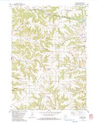 1983 St. Marys1984 Print · USGSMonroe County was a landscape of ridgeline cemeteries and deep valley farms in the early 1980s. You can trace family roots at Summit Ridge Cem and St Jacobs Cem, or follow the historic rail corridor now designated as the Elroy Sparta State Trail.
 - 1983 Map of Wilton, 1984 Print
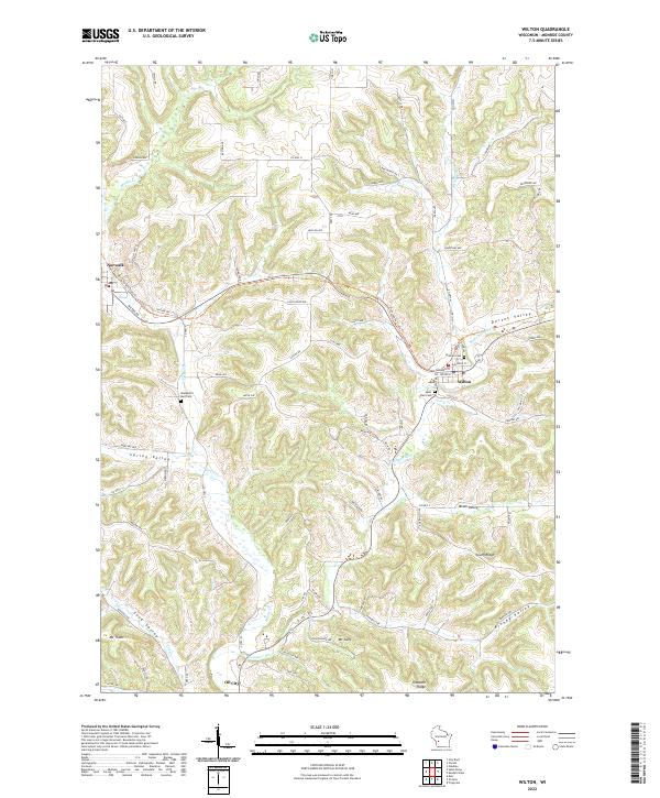
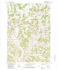 1983 Wilton1984 Print · USGSMonroe County’s ridgelands and river valleys are captured here in the early eighties, centered on the village of Wilton. Family historians and map enthusiasts can trace old routes like the Elroy Sparta State Trail and locate rural landmarks such as Salem Ch, Oil City, and Wanderers Rest Cem.
 - 1985 Map of Sparta
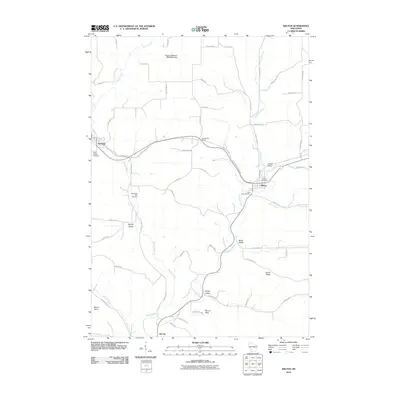
 1985 Sparta1985 Print · USGSWestern Wisconsin in the 1980s shows the unique ridge-and-valley terrain of the Driftless Area during a period of transition for its rails and rural hubs. Trace the historic rail tunnels of the Elroy-Sparta State Trail and find local landmarks like St Marys Ch and Castle Rock Lake.2 unique versions available
 - 2010 Map of Saint Marys, 2010 Print
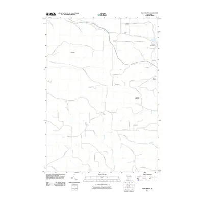 2010 Saint Marys2010 Print · USGSCovers Norwalk, including Sheldon, Wells, and other nearby areas
 - 2010 Map of Wilton, 2010 Print
 2010 Wilton2010 Print · USGSCovers Norwalk, including Wilton, Sheldon, and other nearby areas
 - 2013 Map of Wilton, 2013 Print
 2013 Wilton2013 Print · USGSCovers Norwalk, including Wilton, Sheldon, and other nearby areas
 - 2013 Map of Saint Marys, 2013 Print
 2013 Saint Marys2013 Print · USGSCovers Norwalk, including Sheldon, Wells, and other nearby areas
 - 2016 Map of Saint Marys, 2016 Print
 2016 Saint Marys2016 Print · USGSCovers Norwalk, including Sheldon, Wells, and other nearby areas
 - 2016 Map of Wilton, 2016 Print
 2016 Wilton2016 Print · USGSCovers Norwalk, including Wilton, Sheldon, and other nearby areas
 - 2018 Map of Wilton, 2018 Print
 2018 Wilton2018 Print · USGSCovers Norwalk, including Wilton, Sheldon, and other nearby areas
 - 2018 Map of Saint Marys, 2018 Print
 2018 Saint Marys2018 Print · USGSCovers Norwalk, including Sheldon, Wells, and other nearby areas
 - 2022 Map of Wilton, 2022 Print
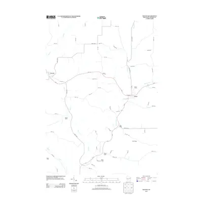
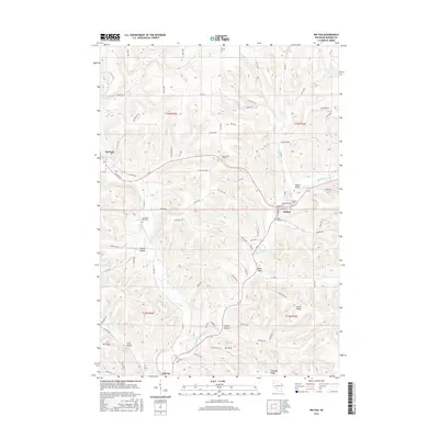
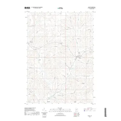
 2022 Wilton2022 Print · USGSMonroe County settlements and agricultural valleys are documented here in the early twenty-first century. Genealogists and local historians can trace family locations near Wilton, Norwalk, and the Hillside Cem or follow the path of the Elroy-Sparta State Trl.
 - 2022 Map of Saint Marys, 2022 Print
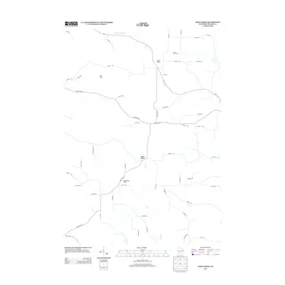
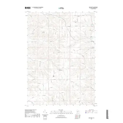
 2022 Saint Marys2022 Print · USGSMonroe County's ridge-and-valley landscape is captured here in the early twenty-first century, centered on the settlement of Saint Marys. Researchers can locate several burial sites including Saint John the Baptist Cem and trace the Elroy-Sparta State Trl through Farmers Valley.
End of results
Showing maps 1-19 of 19
Top cities near Norwalk
- Sparta historical maps
- Sparta historical maps
- Tomah historical maps
- Westby historical maps
- Angelo historical maps
- Cashton historical maps
See more
Frequently asked questions
- What are the different types of historical maps available for Norwalk?
- What is the oldest map of Norwalk?
- Where can I purchase historical maps of Norwalk for my home or office?
- Where can I download high-res historical maps of Norwalk?
- Are there historical topographic maps available for Norwalk?
- Is there historical aerial imagery available for Norwalk?
- Where are historical maps of Norwalk sourced from?