2000s (21st Century) Maps of Ridgeville, Wisconsin
Explore 20 historic maps of Ridgeville from the 2000s (21st Century). These maps offer a rare glimpse into what life looked like during the 2000s — showing old roads, neighborhoods, homes, and landmarks that have changed or disappeared over time.
Whether you're researching your family's past, planning a metal detecting trip, or studying how Ridgeville's landscape evolved across the 2000s, these high-resolution maps are a powerful tool for exploring the history of this region.
- Focus on a specific era: All maps on this page are from the 2000s, giving you a focused view of this time period.
- See what’s changed: Compare century-old streets, trails, and buildings to today's modern landscape using overlays and satellite layers.
- Research with precision: Use these maps for genealogy, historical research, land use analysis, or educational projects.
- View, download, or print: Maps are fully viewable online in high resolution, and can be downloaded or printed for your own records.
Start exploring Ridgeville's history through authentic maps from the 2000s. This is your window into the past.
Ridgeville, WI maps
(20)- 2010 Map of Saint Marys, 2010 Print
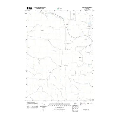 2010 Saint Marys2010 Print · USGSCovers Ridgeville, including Norwalk, Sheldon, and other nearby areas
 - 2010 Map of Tomah, 2010 Print
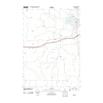 2010 Tomah2010 Print · USGSCovers Ridgeville, including Tomah, Jacksonville, and other nearby areas
 - 2010 Map of Wilton, 2010 Print
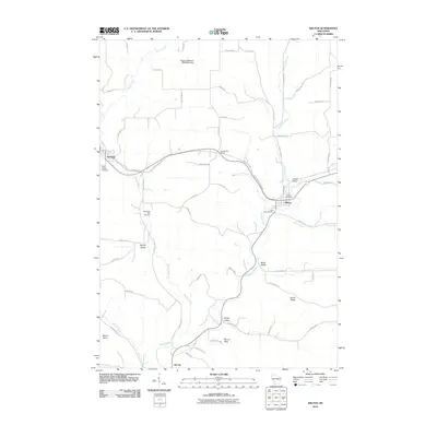 2010 Wilton2010 Print · USGSCovers Ridgeville, including Norwalk, Wilton, and other nearby areas
 - 2010 Map of City Rock, 2010 Print
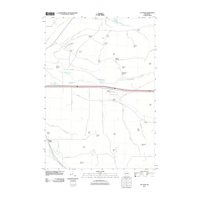 2010 City Rock2010 Print · USGSCovers Ridgeville, including Angelo, Farmers Valley, and other nearby areas
 - 2013 Map of Wilton, 2013 Print
 2013 Wilton2013 Print · USGSCovers Ridgeville, including Norwalk, Wilton, and other nearby areas
 - 2013 Map of Tomah, 2013 Print
 2013 Tomah2013 Print · USGSCovers Ridgeville, including Tomah, Jacksonville, and other nearby areas
 - 2013 Map of City Rock, 2013 Print
 2013 City Rock2013 Print · USGSCovers Ridgeville, including Angelo, Farmers Valley, and other nearby areas
 - 2013 Map of Saint Marys, 2013 Print
 2013 Saint Marys2013 Print · USGSCovers Ridgeville, including Norwalk, Sheldon, and other nearby areas
 - 2016 Map of City Rock, 2016 Print
 2016 City Rock2016 Print · USGSCovers Ridgeville, including Angelo, Farmers Valley, and other nearby areas
 - 2016 Map of Tomah, 2016 Print
 2016 Tomah2016 Print · USGSCovers Ridgeville, including Tomah, Jacksonville, and other nearby areas
 - 2016 Map of Saint Marys, 2016 Print
 2016 Saint Marys2016 Print · USGSCovers Ridgeville, including Norwalk, Sheldon, and other nearby areas
 - 2016 Map of Wilton, 2016 Print
 2016 Wilton2016 Print · USGSCovers Ridgeville, including Norwalk, Wilton, and other nearby areas
 - 2018 Map of Wilton, 2018 Print
 2018 Wilton2018 Print · USGSCovers Ridgeville, including Norwalk, Wilton, and other nearby areas
 - 2018 Map of Tomah, 2018 Print
 2018 Tomah2018 Print · USGSCovers Ridgeville, including Tomah, Jacksonville, and other nearby areas
 - 2018 Map of Saint Marys, 2018 Print
 2018 Saint Marys2018 Print · USGSCovers Ridgeville, including Norwalk, Sheldon, and other nearby areas
 - 2018 Map of City Rock, 2018 Print
 2018 City Rock2018 Print · USGSCovers Ridgeville, including Angelo, Farmers Valley, and other nearby areas
 - 2022 Map of Tomah, 2022 Print
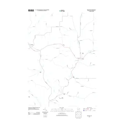
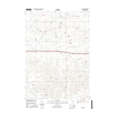
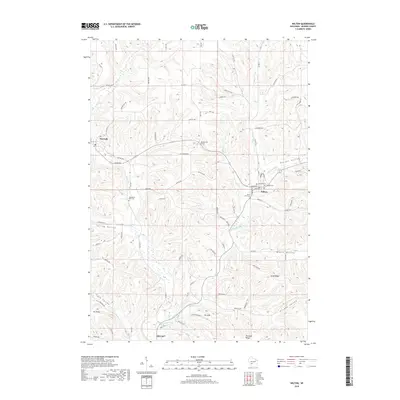
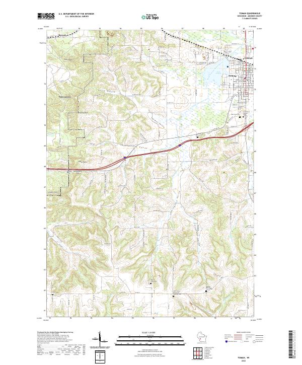 2022 Tomah2022 Print · USGSTomah and the surrounding Monroe County valleys are documented here in the early 2020s. Researchers can locate numerous family burial sites like Aney Cem and Saint Johns Cem or trace terrain features like Windrow Bluff and Jacksonville Pass.
 - 2022 Map of Wilton, 2022 Print
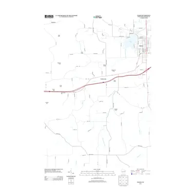
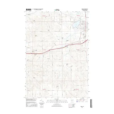
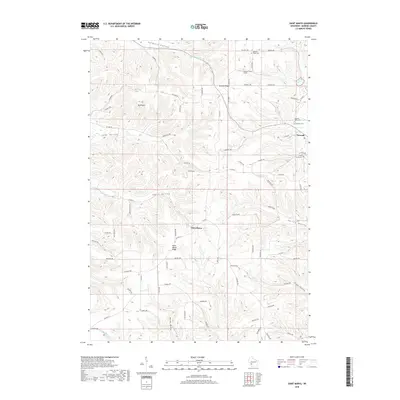
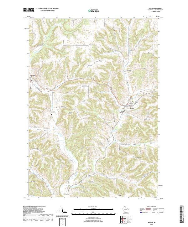 2022 Wilton2022 Print · USGSMonroe County settlements and agricultural valleys are documented here in the early twenty-first century. Genealogists and local historians can trace family locations near Wilton, Norwalk, and the Hillside Cem or follow the path of the Elroy-Sparta State Trl.
 - 2022 Map of City Rock, 2022 Print
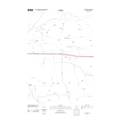
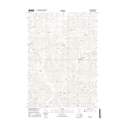
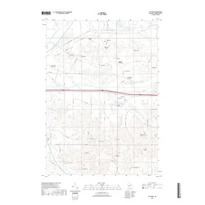
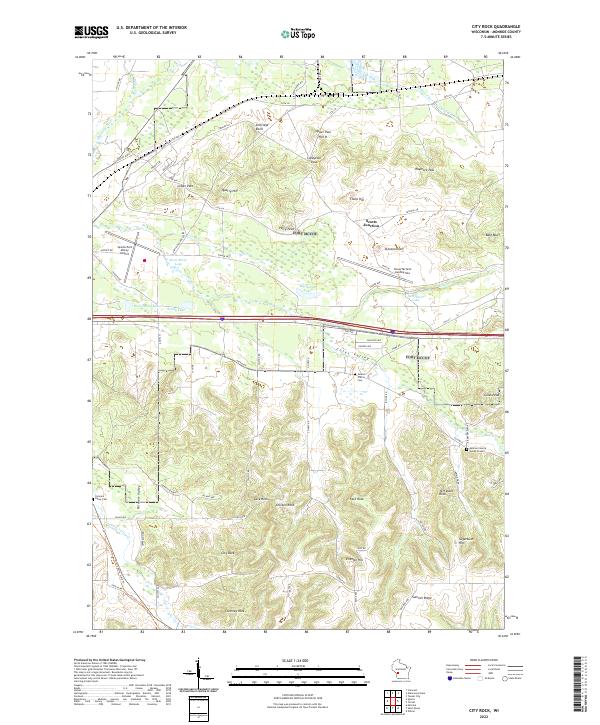 2022 City Rock2022 Print · USGSMonroe County terrain is documented here in the early twenty-first century, showing the intersection of military infrastructure and rural life. Local historians can trace family sites at Mound Prairie Cem or explore named landmarks like Scotts Junction and Chimney Rock.
 - 2022 Map of Saint Marys, 2022 Print
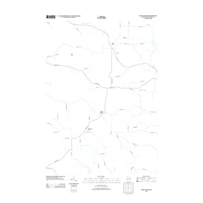
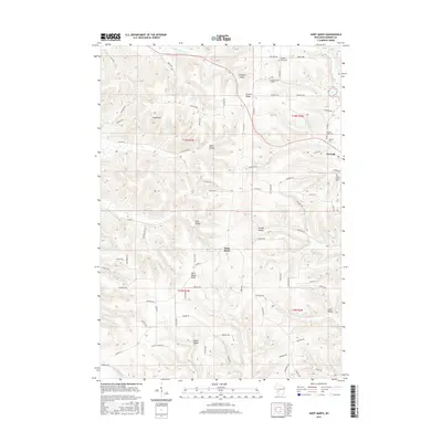
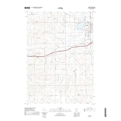
 2022 Saint Marys2022 Print · USGSMonroe County's ridge-and-valley landscape is captured here in the early twenty-first century, centered on the settlement of Saint Marys. Researchers can locate several burial sites including Saint John the Baptist Cem and trace the Elroy-Sparta State Trl through Farmers Valley.
End of results
Showing maps 1-20 of 20
Top cities near Ridgeville
- Sparta historical maps
- Sparta historical maps
- Tomah historical maps
- Angelo historical maps
- Cashton historical maps
- Leon historical maps
See more
Frequently asked questions
- What are the different types of historical maps available for Ridgeville?
- What is the oldest map of Ridgeville?
- Where can I purchase historical maps of Ridgeville for my home or office?
- Where can I download high-res historical maps of Ridgeville?
- Are there historical topographic maps available for Ridgeville?
- Is there historical aerial imagery available for Ridgeville?
- Where are historical maps of Ridgeville sourced from?