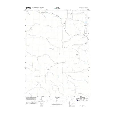
2010 Map of Saint Marys
USGS Topo · Published 2010About this map
Saint Marys and its surrounding ridge-and-valley landscape define this section of Monroe County, mapped here in the early 21st century. The terrain is characterized by prominent elevations such as Saint Marys Ridge and Summit Ridge, which dictate the winding paths of rural roads like County Hwy U and County Hwy F. Water management is evident through the presence of the Haldeman G5500 Dam and Tri Creek Number One 3WR1378 Dam.
Find a feature on this map
48 named features on this map. Tap any name to fly to it.
Don’t see what you’re looking for? This feature index may not catch every label — zoom into the map to look around manually.
Map Details
Editions of this 2010 Saint Marys Map
This is the sole edition of this map. No revisions or reprints were ever made.
Other maps of this area

1909 · Sparta
USGS Topo · 1:62,500

1916 · Tomah
USGS Topo · 1:62,500

1923 · Viroqua
USGS Topo · 1:62,500

1926 · Viroqua
USGS Topo · 1:62,500

1926 · La Farge
USGS Topo · 1:62,500

1947 · Sparta
USGS Topo · 1:62,500

1949 · Sparta
USGS Topo · 1:62,500

1949 · Tomah
USGS Topo · 1:62,500

1958 · La Crosse
USGS Topo · 1:250,000

1961 · La Crosse
USGS Topo · 1:250,000