Old Maps of Black Creek, Wisconsin for Academic Research
Study the evolution of Black Creek with 10 high-resolution historic maps. Whether you're teaching, researching, or modeling changes in land use, these maps provide essential visual documentation of urban, environmental, and geographic change.
- Analyze long-term change: Track patterns in development, transportation, and natural features.
- Ideal for environmental or urban studies: Support academic projects with primary historical map data.
- Use in the classroom or lab: Educators and researchers rely on these maps to bring historical context to life.
These maps are a powerful tool for teaching, research, and visualizing how Black Creek has changed over the decades.
Black Creek, WI maps
(10)- 1955 Map of Appleton, 1957 Print
 1955 Appleton1957 Print · USGSOutagamie County's river-driven industrial valley and sprawling northern farmsteads are captured here in the mid-1950s. Genealogists and historians can trace the foundations of Appleton and Kaukauna or locate rural landmarks like Mackville Station and the Herman Sch (Abandoned).2 unique versions available
 - 1955 Map of Green Bay, 1968 Print
 1955 Green Bay1968 Print · USGSCentral and Eastern Wisconsin are captured here in the mid-fifties, showing the industrial growth of the Fox Valley and Wisconsin River corridors. Genealogists and historians can trace rail lines like the Green Bay and Western through settlements like Weyauwega, Clintonville, and Pulaski.2 unique versions available
 - 1974 Map of Black Creek, 1978 Print
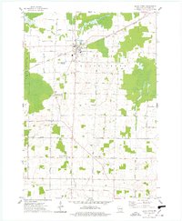 1974 Black Creek1978 Print · USGSOutagamie County's agricultural and transit corridors are frozen in time here during the mid-seventies, centered on the railroad village of Black Creek. Genealogists and local historians can trace family roots through numerous sites like Binghamton Cem, Twelve Corners, and Emmanuel Ch.
 - 1984 Map of Appleton, 1985 Print
 1984 Appleton1985 Print · USGSThe Fox River Valley in the mid-eighties shows a bustling corridor of industry and nature, from the shores of Lake Winnebago to the Oneida Indian Reservation. Trace local heritage through landmarks like Riverside Cem or explore the wetlands of Poygan Marsh State Wildlife Area.2 unique versions available
 - 1992 Map of Black Creek, 1996 Print
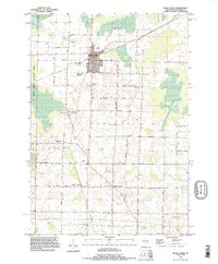 1992 Black Creek1996 Print · USGSNorthern Outagamie County is documented here in the early nineties, centered on the village of Black Creek. Genealogists can locate family burial sites at Sassman Cem or Saint Petri Cem and trace rural settlements like Binghamton and Twelve Corners.
 - 2010 Map of Black Creek, 2010 Print
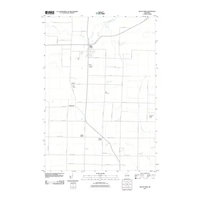 2010 Black Creek2010 Print · USGSCovers Black Creek, including Ellington, Center Valley, and other nearby areas
 - 2013 Map of Black Creek, 2013 Print
 2013 Black Creek2013 Print · USGSCovers Black Creek, including Ellington, Center Valley, and other nearby areas
 - 2016 Map of Black Creek, 2016 Print
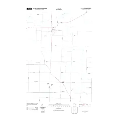
 2016 Black Creek2016 Print · USGSCovers Black Creek, including Ellington, Center Valley, and other nearby areas
 - 2018 Map of Black Creek, 2018 Print
 2018 Black Creek2018 Print · USGSCovers Black Creek, including Ellington, Center Valley, and other nearby areas
 - 2022 Map of Black Creek, 2022 Print
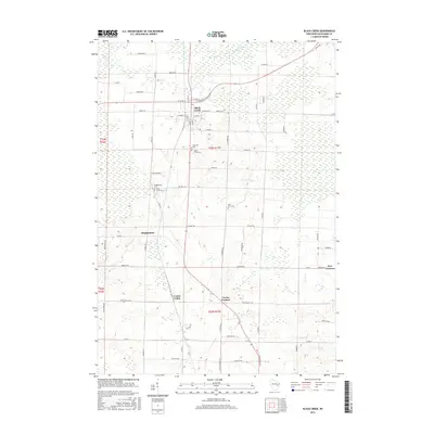
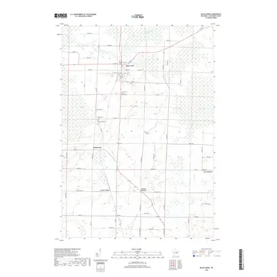
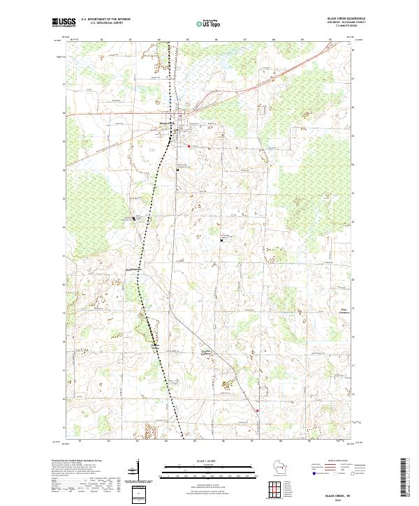 2022 Black Creek2022 Print · USGSThis part of Outagamie County was undergoing modern shifts in the early 2020s, centered around the village of Black Creek. Genealogists and local historians can trace legacy sites like Twelve Corners and the Immanuel Lutheran Cem along the Newton Blackmour State Trl.
End of results
Showing maps 1-10 of 10
Top cities near Black Creek
- Appleton historical maps
- Grand Chute historical maps
- Kaukauna historical maps
- Little Chute historical maps
- Greenville historical maps
- Kimberly historical maps
See more
Frequently asked questions
- What are the different types of historical maps available for Black Creek?
- What is the oldest map of Black Creek?
- Where can I purchase historical maps of Black Creek for my home or office?
- Where can I download high-res historical maps of Black Creek?
- Are there historical topographic maps available for Black Creek?
- Is there historical aerial imagery available for Black Creek?
- Where are historical maps of Black Creek sourced from?