Old Maps of Oneida, Wisconsin
Explore 35 old maps of Oneida, spanning from 1954 to today. These high-resolution historic maps reveal how streets, neighborhoods, landmarks, and natural features evolved over time — perfect for genealogy, metal detecting, research, and local history exploration.
What you can do with these maps:
- See how Oneida changed over time: Compare historical maps to modern-day views to trace roads, homesites, rail lines & more.
- View detailed metadata: Each map includes creators, publishers, year, scale, and archive source.
- Overlay maps with satellite & LiDAR: Visualize the past alongside modern tools to explore terrain & human change.
- Trusted historical sources: Maps sourced from the USGS, Library of Congress, and other archives.
- Access maps your way: View online, download high-res files, or order prints for personal or research use.
Start exploring old maps of Oneida to uncover forgotten places, hidden landmarks, and the deep history beneath your feet.
Oneida, WI maps
(35)- 1954 Map of De Pere, 1956 Print
 1954 De Pere1956 Print · USGSThe Fox River valley in the mid-1950s was a hub of industrial navigation and growing aviation between De Pere and Green Bay. Genealogists can trace family names through dozens of rural sites like St Patrick Cem, Gopher Hill, and the Michaelson Sch (Abandoned).2 unique versions available
 - 1954 Map of Green Bay, 1980 Print
 1954 Green Bay1980 Print · USGSGreen Bay and Brown County are shown during a period of steady mid-century growth and agricultural prominence. Researchers can trace family roots through numerous country schools like White Pine Sch and established cemeteries such as Chase Cem and Peace Cem.
 - 1955 Map of Appleton, 1957 Print
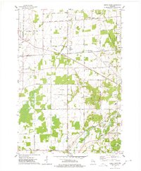
 1955 Appleton1957 Print · USGSOutagamie County's river-driven industrial valley and sprawling northern farmsteads are captured here in the mid-1950s. Genealogists and historians can trace the foundations of Appleton and Kaukauna or locate rural landmarks like Mackville Station and the Herman Sch (Abandoned).2 unique versions available
 - 1955 Map of Seymour, 1957 Print
 1955 Seymour1957 Print · USGSWisconsin's dairy heartland comes alive in this mid-century survey of the borderlands between Shawano and Outagamie counties. Genealogists can trace family roots through numerous rural schools and churches, from St Johns Ch to the Elm Grove Cem near Laney.3 unique versions available
 - 1955 Map of Green Bay, 1968 Print
 1955 Green Bay1968 Print · USGSCentral and Eastern Wisconsin are captured here in the mid-fifties, showing the industrial growth of the Fox Valley and Wisconsin River corridors. Genealogists and historians can trace rail lines like the Green Bay and Western through settlements like Weyauwega, Clintonville, and Pulaski.2 unique versions available
 - 1974 Map of Seymour, 1977 Print
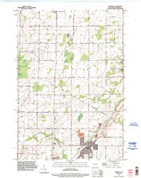
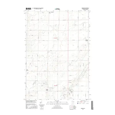
 1974 Seymour1977 Print · USGSMid-seventies Outagamie County centers on the rail and road crossroads of Seymour as it appeared during a period of steady growth. Researchers can trace family sites through numerous rural cemeteries and small settlements like Rose Lawn, Isaak, and St Sebastian Cem.
 - 1974 Map of Oneida South, 1978 Print
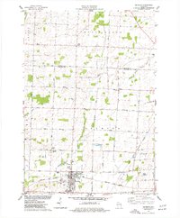
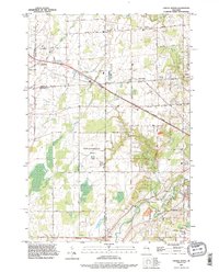
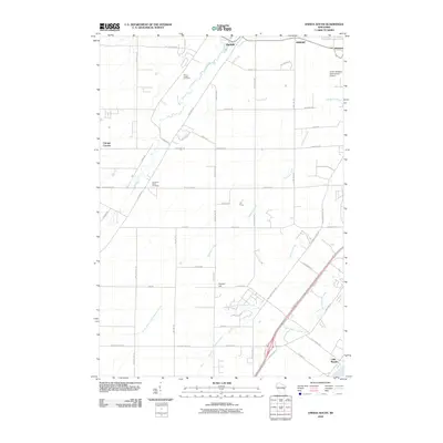
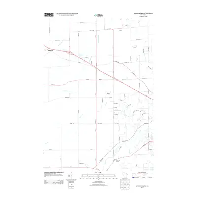
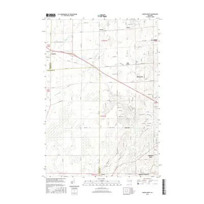
 1974 Oneida South1978 Print · USGSThe Oneida Indian Reservation and the banks of the Fox River are captured here during the mid-seventies. Researchers can trace ancestral locations and local landmarks from Little Rapids to the Immaculate Conception Sch and Lost Dauphin State Park.
 - 1974 Map of Freedom, 1978 Print
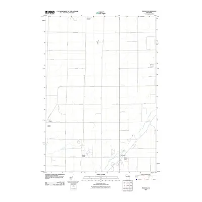
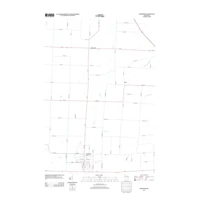
 1974 Freedom1978 Print · USGSOutagamie County in the mid-1970s shows a landscape defined by the Oneida Indian Reservation Boundary and traditional dairy-country settlements. Genealogists and local historians can locate several rural burial sites like St John the Baptist Cem and trace the small crossroads communities of Chicago Corners and Five Corners.
 - 1974 Map of Oneida North, 1978 Print
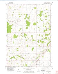
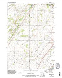
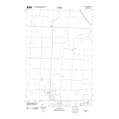
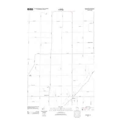
 1974 Oneida North1978 Print · USGSBrown and Outagamie counties in the mid-seventies reveal a network of rural hamlets and farming townships. Genealogists can trace family footprints through sites like Owego Cem, Lannoye Sch, and the historical community at Oneida.
 - 1984 Map of Appleton, 1985 Print
 1984 Appleton1985 Print · USGSThe Fox River Valley in the mid-eighties shows a bustling corridor of industry and nature, from the shores of Lake Winnebago to the Oneida Indian Reservation. Trace local heritage through landmarks like Riverside Cem or explore the wetlands of Poygan Marsh State Wildlife Area.2 unique versions available
 - 1984 Map of Shawano, 1985 Print
 1984 Shawano1985 Print · USGSNortheast Wisconsin in the mid-1980s was a landscape defined by its indigenous heritage and the bustling trade centers of the Fox and Wolf River valleys. Genealogists and historians can trace rail corridors like the Chicago and North Western or locate family sites near Keshena, Cecil, and the Fort Howard Cem.2 unique versions available
 - 1992 Map of Freedom, 1996 Print
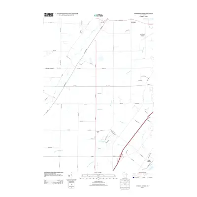
 1992 Freedom1996 Print · USGSOutagamie County in the early nineties is a patchwork of historic farmsteads and reservation lands. Genealogists and local historians can trace burial sites like St John the Baptist Cemetery and old crossroads like Chicago Corners or Murphy Corner.
 - 1992 Map of Oneida South, 1996 Print
 1992 Oneida South1996 Print · USGSThe Oneida Reservation and Brown County borderland are captured here in the early nineties as modern development met historic settlements. Genealogists and local historians can trace family-named routes like Van Boxtel Road or locate Saint Joseph Cemetery and the grounds of Lost Dauphin State Park.
 - 1992 Map of Oneida North, 1996 Print
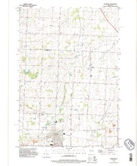
 1992 Oneida North1996 Print · USGSThe rural stretches and growing outskirts northwest of Green Bay are captured here in the early nineties as suburban expansion met long-standing farming communities. Researchers can trace local heritage through the Owego Cemetery, the institutional State Reformatory Farm, and the early footprints of Anston and Oneida.
 - 1992 Map of Seymour, 1996 Print
 1992 Seymour1996 Print · USGSThe agricultural lands north of Seymour are captured in the 1990s, where the rural crossroads of Isaar and Rose Lawn anchor the landscape. Genealogists can locate family sites at Elm Lawn Cem and Owego Cem while tracing the Oneida reservation boundary.
 - 2010 Map of Oneida North, 2010 Print
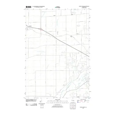 2010 Oneida North2010 Print · USGSCovers Oneida, including Green Bay, Howard, and other nearby areas
 - 2010 Map of Seymour, 2010 Print
 2010 Seymour2010 Print · USGSCovers Oneida, including Seymour, Cicero, and other nearby areas
 - 2010 Map of Freedom, 2010 Print
 2010 Freedom2010 Print · USGSCovers Oneida, including Freedom, Seymour, and other nearby areas
 - 2010 Map of Oneida South, 2010 Print
 2010 Oneida South2010 Print · USGSCovers Oneida, including Green Bay, De Pere, and other nearby areas
 - 2013 Map of Oneida South, 2013 Print
 2013 Oneida South2013 Print · USGSCovers Oneida, including Green Bay, De Pere, and other nearby areas
 - 2013 Map of Oneida North, 2013 Print
 2013 Oneida North2013 Print · USGSCovers Oneida, including Green Bay, Howard, and other nearby areas
 - 2013 Map of Freedom, 2013 Print
 2013 Freedom2013 Print · USGSCovers Oneida, including Freedom, Seymour, and other nearby areas
 - 2013 Map of Seymour, 2013 Print
 2013 Seymour2013 Print · USGSCovers Oneida, including Seymour, Cicero, and other nearby areas
 - 2016 Map of Freedom, 2016 Print
 2016 Freedom2016 Print · USGSCovers Oneida, including Freedom, Seymour, and other nearby areas
 - 2016 Map of Oneida North, 2016 Print
 2016 Oneida North2016 Print · USGSCovers Oneida, including Green Bay, Howard, and other nearby areas
Showing maps 1-25 of 35
Top cities near Oneida
- Green Bay historical maps
- Appleton historical maps
- De Pere historical maps
- Grand Chute historical maps
- Howard historical maps
- Kaukauna historical maps
See more
Top neighborhoods of Oneida
Frequently asked questions
- What are the different types of historical maps available for Oneida?
- What is the oldest map of Oneida?
- Where can I purchase historical maps of Oneida for my home or office?
- Where can I download high-res historical maps of Oneida?
- Are there historical topographic maps available for Oneida?
- Is there historical aerial imagery available for Oneida?
- Where are historical maps of Oneida sourced from?