Old Maps of Medina, Dale for Genealogy
Trace your family roots with 9 historic maps of Medina. These high-res maps reveal old neighborhoods, homesites, landmarks, and streets — helping you uncover where your ancestors lived and how the area evolved over time.
- Explore historic neighborhoods: Identify where your relatives may have lived in the 1800s or 1900s.
- Compare maps over time: Trace the changes in streets, buildings, and landmarks for multi-generational research.
- Perfect for genealogy & ancestry research: Used by family historians and researchers to map out lineage and migration.
These maps are an incredible resource for exploring your personal connection to Medina's past.
Medina, Dale maps
(9)- 1955 Map of Green Bay, 1968 Print
 1955 Green Bay1968 Print · USGSCentral and Eastern Wisconsin are captured here in the mid-fifties, showing the industrial growth of the Fox Valley and Wisconsin River corridors. Genealogists and historians can trace rail lines like the Green Bay and Western through settlements like Weyauwega, Clintonville, and Pulaski.2 unique versions available
 - 1956 Map of New London, 1958 Print
 1956 New London1958 Print · USGSWisconsin's Fox Valley region in the mid-fifties shows a landscape of river-town commerce and deep rural roots. Genealogists can trace family sites at Wanderers Rest Cem or locate the many country schools like Golden Hill Sch and Hickory Grove Sch.
 - 1969 Map of Hortonville, 1971 Print
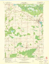 1969 Hortonville1971 Print · USGSOutagamie County during the late sixties shows a landscape of steady agricultural life and vital rail connections. Researchers can locate family landmarks like SS Peter and Paul Cem and trace the paths of the Soo Line through Medina.2 unique versions available
 - 1984 Map of Appleton, 1985 Print
 1984 Appleton1985 Print · USGSThe Fox River Valley in the mid-eighties shows a bustling corridor of industry and nature, from the shores of Lake Winnebago to the Oneida Indian Reservation. Trace local heritage through landmarks like Riverside Cem or explore the wetlands of Poygan Marsh State Wildlife Area.2 unique versions available
 - 2010 Map of Hortonville, 2010 Print
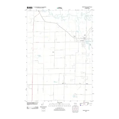 2010 Hortonville2010 Print · USGSCovers Medina, including New London, Dale, and other nearby areas
 - 2013 Map of Hortonville, 2013 Print
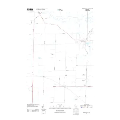 2013 Hortonville2013 Print · USGSCovers Medina, including New London, Dale, and other nearby areas
 - 2016 Map of Hortonville, 2016 Print
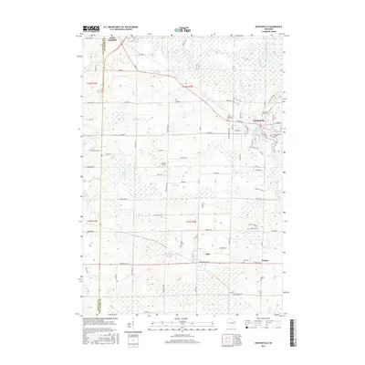 2016 Hortonville2016 Print · USGSCovers Medina, including New London, Dale, and other nearby areas
 - 2018 Map of Hortonville, 2018 Print
 2018 Hortonville2018 Print · USGSCovers Medina, including New London, Dale, and other nearby areas
 - 2023 Map of Hortonville, 2023 Print
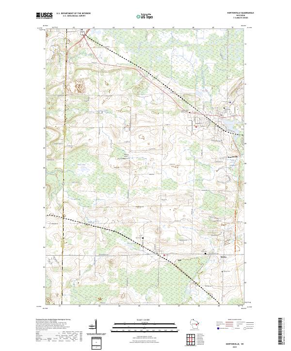 2023 Hortonville2023 Print · USGSOutagamie County's rural character and wetland networks are captured here in the early twenty-first century. Genealogists and local historians can trace family plots at Hortonville Union Cem or Medina Cem and follow the route of the Wiouwash State Trl.
End of results
Showing maps 1-9 of 9
Top cities near Medina
- Appleton historical maps
- Oshkosh historical maps
- Neenah historical maps
- Grand Chute historical maps
- Fox Crossing historical maps
- Menasha historical maps
See more
Frequently asked questions
- What are the different types of historical maps available for Medina?
- What is the oldest map of Medina?
- Where can I purchase historical maps of Medina for my home or office?
- Where can I download high-res historical maps of Medina?
- Are there historical topographic maps available for Medina?
- Is there historical aerial imagery available for Medina?
- Where are historical maps of Medina sourced from?