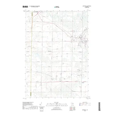
2018 Map of Hortonville
USGS Topo · Published 2018About this map
The Wolf River winds through the northern portion of this landscape, marking the transition from the wetlands near New London to the growing residential areas of Hortonville. This Outagamie County region is characterized by its numerous water bodies, including Black Otter Lake, Shaky Lake, and Squaw Lake, which are surrounded by a network of drainage systems like Potters Cr and Black Otter Cr. The infrastructure of the late 2010s is evident in the inclusion of the Black Otter Airport and Dalonia Airport, alongside a dense grid of county roads such as Co Rd T and Co Rd M. Local history is preserved in several burial grounds, from the Hortonville Union Cem to smaller rural sites like Pine Grove Cem and Medina Cem, providing a detailed record of the communities established around Dale and Medina.
Find a feature on this map
81 named features on this map. Tap any name to fly to it.
Don’t see what you’re looking for? This feature index may not catch every label — zoom into the map to look around manually.
Map Details
Editions of this 2018 Hortonville Map
This is the sole edition of this map. No revisions or reprints were ever made.
Other maps of this area

1955 · Green Bay
USGS Topo · 1:250,000

1956 · New London
USGS Topo · 1:48,000

1956 · Weyauwega
USGS Topo · 1:48,000

1961 · Poy Sippi
USGS Topo · 1:62,500

1961 · Oshkosh
USGS Topo · 1:62,500

1961 · Lake Poygan
USGS Topo · 1:24,000

1961 · Oshkosh NE
USGS Topo · 1:24,000

1961 · Oshkosh NW
USGS Topo · 1:24,000

1969 · New London
USGS Topo · 1:24,000

1969 · Readfield
USGS Topo · 1:24,000