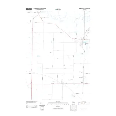
2013 Map of Hortonville
USGS Topo · Published 2013About this map
Hortonville serves as the primary hub of this eastern Wisconsin landscape, situated along the shores of Black Otter Lake where Black Otter Creek flows south. The village layout is detailed with street-level precision, including West Main Street and South Nash Street, while the local aviation history is marked by the presence of the Black Otter Airport and Dalonia Airport.
Find a feature on this map
56 named features on this map. Tap any name to fly to it.
Don’t see what you’re looking for? This feature index may not catch every label — zoom into the map to look around manually.
Map Details
Editions of this 2013 Hortonville Map
This is the sole edition of this map. No revisions or reprints were ever made.
Other maps of this area

1955 · Green Bay
USGS Topo · 1:250,000

1956 · New London
USGS Topo · 1:48,000

1956 · Weyauwega
USGS Topo · 1:48,000

1961 · Poy Sippi
USGS Topo · 1:62,500

1961 · Oshkosh
USGS Topo · 1:62,500

1961 · Lake Poygan
USGS Topo · 1:24,000

1961 · Oshkosh NE
USGS Topo · 1:24,000

1961 · Oshkosh NW
USGS Topo · 1:24,000

1969 · New London
USGS Topo · 1:24,000

1969 · Readfield
USGS Topo · 1:24,000