Old Maps of Grand Chute, Wisconsin for Hiking & Exploration
Hike through history with 26 historic maps of Grand Chute. Explore old trails, ghost towns, and forgotten backroads — perfect for outdoor adventurers and local explorers.
- Rediscover forgotten places: Map out old mining camps, roads, and footpaths that no longer exist on modern maps.
- Layer with modern tools: Combine with LiDAR or satellite views to plan hikes through historical terrain.
- Made for exploration: Popular among hikers, overlanders, and local history lovers.
Use these maps to find adventure and explore the hidden past of Grand Chute.
Grand Chute, WI maps
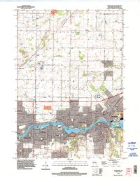
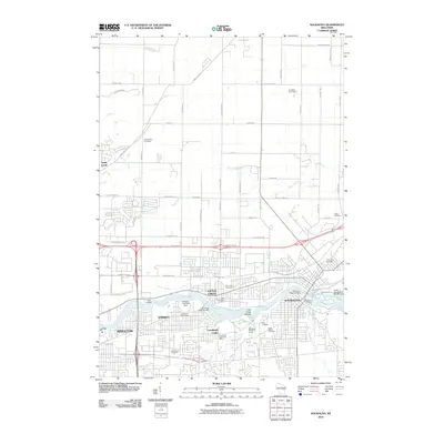
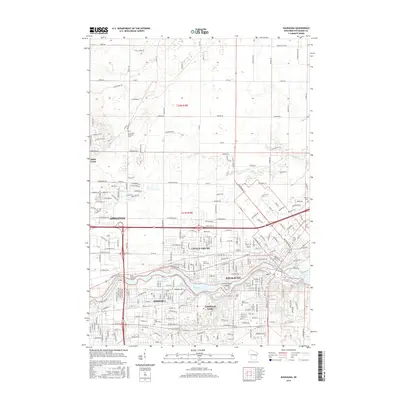
(26)- 1911 Map of Neenah, 1949 Print
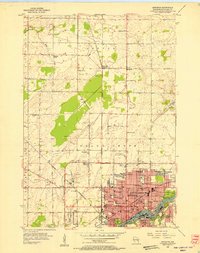
 1911 Neenah1949 Print · USGSThe Fox River Valley was a thriving industrial and social corridor at the dawn of the twentieth century. Genealogists and historians can trace the early layouts of Neenah and Menasha or locate vanished landmarks like High Cliff PO and the Limeworks.
 - 1955 Map of Neenah, 1957 Print
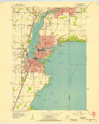
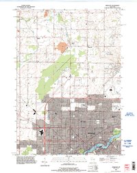
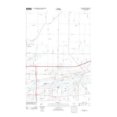
 1955 Neenah1957 Print · USGSMid-century Wisconsin comes to life along the Fox River and Lake Winnebago as industrial towns like Neenah and Menasha expand. Genealogists and historians can trace old property lines near St Marys Cem or locate defunct landmarks like the Drive-in Theater and Clay Sch.3 unique versions available
 - 1955 Map of Appleton, 1957 Print
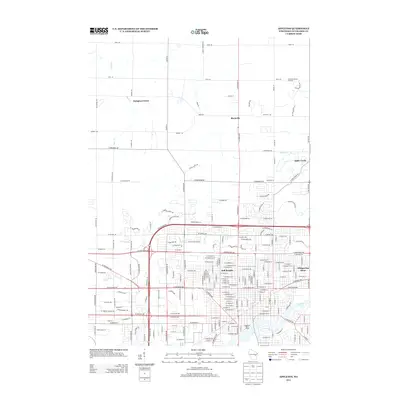
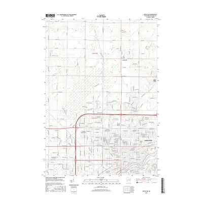
 1955 Appleton1957 Print · USGSMid-century Appleton thrives as a river-based industrial and academic center during the mid-1950s. Genealogists and historians can trace the footprint of Lawrence College, numerous parochial schools like St Teresa Sch, and outlying hamlets such as Mackville.3 unique versions available
 - 1955 Map of Appleton, 1957 Print
 1955 Appleton1957 Print · USGSOutagamie County's river-driven industrial valley and sprawling northern farmsteads are captured here in the mid-1950s. Genealogists and historians can trace the foundations of Appleton and Kaukauna or locate rural landmarks like Mackville Station and the Herman Sch (Abandoned).2 unique versions available
 - 1955 Map of Neenah, 1957 Print
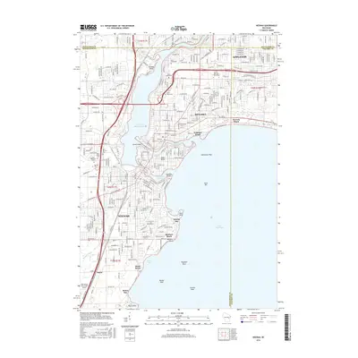
 1955 Neenah1957 Print · USGSMid-century Neenah and Menasha show a bustling river-and-rail corridor at the mouth of Lake Winnebago. Genealogists and historians can trace neighborhood growth near Doty Island, locate family sites at Oak Hill Cem, or find recreation spots like Waverly Beach.3 unique versions available
 - 1955 Map of Green Bay, 1968 Print
 1955 Green Bay1968 Print · USGSCentral and Eastern Wisconsin are captured here in the mid-fifties, showing the industrial growth of the Fox Valley and Wisconsin River corridors. Genealogists and historians can trace rail lines like the Green Bay and Western through settlements like Weyauwega, Clintonville, and Pulaski.2 unique versions available
 - 1974 Map of Kaukauna, 1978 Print
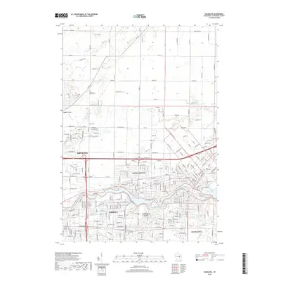
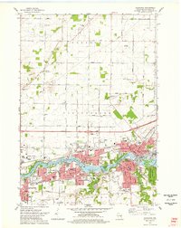 1974 Kaukauna1978 Print · USGSKaukauna and the surrounding Fox River valley are captured in the mid-seventies, showing the dense industrial and parish-linked neighborhoods of the era. Researchers can trace family roots through numerous sites like Holy Name Cem, St John Cem, and schools like Electa Quinney Sch.2 unique versions available
 - 1984 Map of Appleton, 1985 Print
 1984 Appleton1985 Print · USGSThe Fox River Valley in the mid-eighties shows a bustling corridor of industry and nature, from the shores of Lake Winnebago to the Oneida Indian Reservation. Trace local heritage through landmarks like Riverside Cem or explore the wetlands of Poygan Marsh State Wildlife Area.2 unique versions available
 - 1992 Map of Neenah, 1996 Print
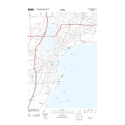
 1992 Neenah1996 Print · USGSThe Fox River Valley saw significant development in the early nineties, centered on the growing industrial and residential districts of Neenah and Menasha. Genealogists and local historians can trace family locations through numerous sites like St Patricks Cem, Stroebe Island, and the rail corridors of the Soo Line.
 - 1992 Map of Kaukauna, 1996 Print
 1992 Kaukauna1996 Print · USGSThe Fox River industrial corridor is shown in high detail during the early nineties as urban centers like Kaukauna and Little Chute expanded. Genealogists can locate several local burial grounds such as St John Cem and Holy Name Cemetery alongside parks like Thousand Island State Conservancy Park.
 - 1992 Map of Appleton, 1996 Print
 1992 Appleton1996 Print · USGSThe Fox River valley saw significant suburban and commercial expansion in the 1990s as the urban core pushed north. Genealogists and researchers can trace local landmarks like Lawrence College, Riverside Cem, and the rural crossroads of Mackville.
 - 2010 Map of Appleton, 2010 Print
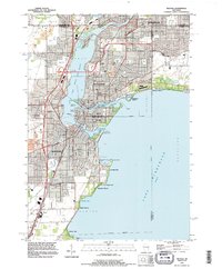
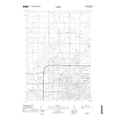
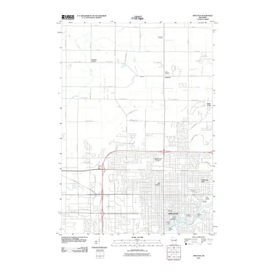 2010 Appleton2010 Print · USGSCovers Grand Chute, including Appleton, Ellington, and other nearby areas
 - 2010 Map of Neenah, 2010 Print
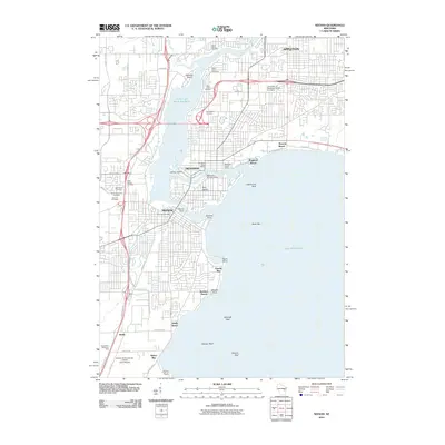 2010 Neenah2010 Print · USGSCovers Grand Chute, including Appleton, Neenah, and other nearby areas
 - 2010 Map of Kaukauna, 2010 Print
 2010 Kaukauna2010 Print · USGSCovers Grand Chute, including Appleton, Kaukauna, and other nearby areas
 - 2013 Map of Appleton, 2013 Print
 2013 Appleton2013 Print · USGSCovers Grand Chute, including Appleton, Ellington, and other nearby areas
 - 2013 Map of Kaukauna, 2013 Print
 2013 Kaukauna2013 Print · USGSCovers Grand Chute, including Appleton, Kaukauna, and other nearby areas
 - 2013 Map of Neenah, 2013 Print
 2013 Neenah2013 Print · USGSCovers Grand Chute, including Appleton, Neenah, and other nearby areas
 - 2016 Map of Kaukauna, 2016 Print
 2016 Kaukauna2016 Print · USGSCovers Grand Chute, including Appleton, Kaukauna, and other nearby areas
 - 2016 Map of Appleton, 2016 Print
 2016 Appleton2016 Print · USGSCovers Grand Chute, including Appleton, Ellington, and other nearby areas
 - 2016 Map of Neenah, 2016 Print
 2016 Neenah2016 Print · USGSCovers Grand Chute, including Appleton, Neenah, and other nearby areas
 - 2018 Map of Neenah, 2018 Print
 2018 Neenah2018 Print · USGSCovers Grand Chute, including Appleton, Neenah, and other nearby areas
 - 2018 Map of Kaukauna, 2018 Print
 2018 Kaukauna2018 Print · USGSCovers Grand Chute, including Appleton, Kaukauna, and other nearby areas
 - 2018 Map of Appleton, 2018 Print
 2018 Appleton2018 Print · USGSCovers Grand Chute, including Appleton, Ellington, and other nearby areas
 - 2022 Map of Appleton, 2022 Print
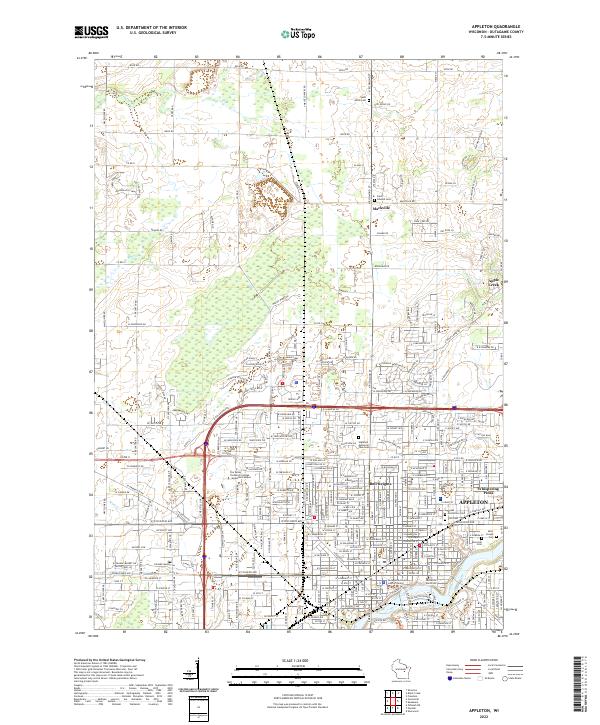 2022 Appleton2022 Print · USGSAppleton and the Fox River valley are shown here in the modern era, balancing urban growth with deep-rooted rural outposts. Local historians can trace institutional sites like Lawrence University alongside legacy locations such as Mackville and Saint Joseph Cem.
 - 2022 Map of Neenah, 2022 Print
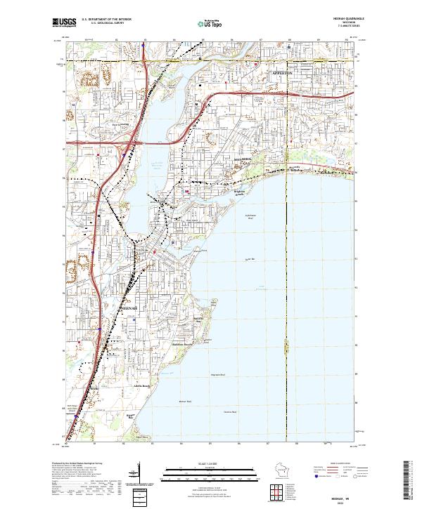 2022 Neenah2022 Print · USGSThe Fox River valley's industrial heart comes into focus during this era of suburban growth and lakeside recreation. Researchers can trace the development of Neenah and Menasha, from the shores of Doty Island to Saint Patrick's Cem.
Showing maps 1-25 of 26
Top cities near Grand Chute
- Appleton historical maps
- Oshkosh historical maps
- Neenah historical maps
- Fox Crossing historical maps
- Menasha historical maps
- Kaukauna historical maps
See more
Top neighborhoods of Grand Chute
- Evergreen Square Apartments historical maps
- Liberty Commons historical maps
- Starview Heights historical maps
- Sunnyview Circle historical maps
- Timber Crest Estates historical maps
- Westbrook Estates historical maps
See more
Frequently asked questions
- What are the different types of historical maps available for Grand Chute?
- What is the oldest map of Grand Chute?
- Where can I purchase historical maps of Grand Chute for my home or office?
- Where can I download high-res historical maps of Grand Chute?
- Are there historical topographic maps available for Grand Chute?
- Is there historical aerial imagery available for Grand Chute?
- Where are historical maps of Grand Chute sourced from?