Old Maps of Greenville, Wisconsin for Academic Research
Study the evolution of Greenville with 35 high-resolution historic maps. Whether you're teaching, researching, or modeling changes in land use, these maps provide essential visual documentation of urban, environmental, and geographic change.
- Analyze long-term change: Track patterns in development, transportation, and natural features.
- Ideal for environmental or urban studies: Support academic projects with primary historical map data.
- Use in the classroom or lab: Educators and researchers rely on these maps to bring historical context to life.
These maps are a powerful tool for teaching, research, and visualizing how Greenville has changed over the decades.
Greenville, WI maps
(35)- 1911 Map of Neenah, 1949 Print
 1911 Neenah1949 Print · USGSThe Fox River Valley was a thriving industrial and social corridor at the dawn of the twentieth century. Genealogists and historians can trace the early layouts of Neenah and Menasha or locate vanished landmarks like High Cliff PO and the Limeworks.
 - 1955 Map of Neenah, 1957 Print
 1955 Neenah1957 Print · USGSMid-century Wisconsin comes to life along the Fox River and Lake Winnebago as industrial towns like Neenah and Menasha expand. Genealogists and historians can trace old property lines near St Marys Cem or locate defunct landmarks like the Drive-in Theater and Clay Sch.3 unique versions available
 - 1955 Map of Appleton, 1957 Print
 1955 Appleton1957 Print · USGSMid-century Appleton thrives as a river-based industrial and academic center during the mid-1950s. Genealogists and historians can trace the footprint of Lawrence College, numerous parochial schools like St Teresa Sch, and outlying hamlets such as Mackville.3 unique versions available
 - 1955 Map of Appleton, 1957 Print
 1955 Appleton1957 Print · USGSOutagamie County's river-driven industrial valley and sprawling northern farmsteads are captured here in the mid-1950s. Genealogists and historians can trace the foundations of Appleton and Kaukauna or locate rural landmarks like Mackville Station and the Herman Sch (Abandoned).2 unique versions available
 - 1955 Map of Neenah, 1957 Print
 1955 Neenah1957 Print · USGSMid-century Neenah and Menasha show a bustling river-and-rail corridor at the mouth of Lake Winnebago. Genealogists and historians can trace neighborhood growth near Doty Island, locate family sites at Oak Hill Cem, or find recreation spots like Waverly Beach.3 unique versions available
 - 1955 Map of Green Bay, 1968 Print
 1955 Green Bay1968 Print · USGSCentral and Eastern Wisconsin are captured here in the mid-fifties, showing the industrial growth of the Fox Valley and Wisconsin River corridors. Genealogists and historians can trace rail lines like the Green Bay and Western through settlements like Weyauwega, Clintonville, and Pulaski.2 unique versions available
 - 1956 Map of New London, 1958 Print
 1956 New London1958 Print · USGSWisconsin's Fox Valley region in the mid-fifties shows a landscape of river-town commerce and deep rural roots. Genealogists can trace family sites at Wanderers Rest Cem or locate the many country schools like Golden Hill Sch and Hickory Grove Sch.
 - 1961 Map of Oshkosh, 1963 Print
 1961 Oshkosh1963 Print · USGSThe Fox River Valley in the early sixties showcases the expansion of Oshkosh and its lakefront settlements. Genealogists and historians can trace family roots through local sites like Calvary Cem, St Peters Cem, and the Winnebago State Hospital grounds.2 unique versions available
 - 1961 Map of Oshkosh NE, 1966 Print
 1961 Oshkosh NE1966 Print · USGSWinnebago County farm country and rail junctions are captured here in the early sixties. Researchers can trace the tracks of the Soo Line through Medina Junction and find local landmarks like Immanuel Ch, Clayton Cem, and Gillingham Sch.3 unique versions available
 - 1969 Map of Greenville, 1972 Print
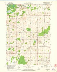 1969 Greenville1972 Print · USGSOutagamie County is documented here in the late sixties as the local infrastructure of Greenville and Hortonville expanded. Researchers can trace historic family burial sites at Wanderers Rest Cem, find the Wide Awake Sch, and follow the CHICAGO AND NORTH WESTERN rail line.2 unique versions available
 - 1984 Map of Appleton, 1985 Print
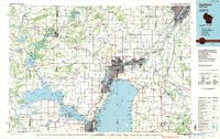 1984 Appleton1985 Print · USGSThe Fox River Valley in the mid-eighties shows a bustling corridor of industry and nature, from the shores of Lake Winnebago to the Oneida Indian Reservation. Trace local heritage through landmarks like Riverside Cem or explore the wetlands of Poygan Marsh State Wildlife Area.2 unique versions available
 - 1992 Map of Neenah, 1996 Print
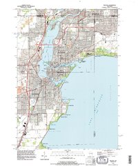 1992 Neenah1996 Print · USGSThe Fox River Valley saw significant development in the early nineties, centered on the growing industrial and residential districts of Neenah and Menasha. Genealogists and local historians can trace family locations through numerous sites like St Patricks Cem, Stroebe Island, and the rail corridors of the Soo Line.
 - 1992 Map of Greenville, 1996 Print
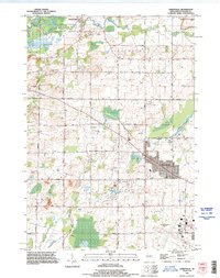 1992 Greenville1996 Print · USGSThe Outagamie County countryside near Greenville is shown here in the 1990s as suburban expansion begins to meet established dairy and river lands. Researchers can locate family plots at Wanderers Rest Cemetery and trace the early footprint of the Outagamie County Airport.
 - 1992 Map of Appleton, 1996 Print
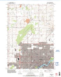 1992 Appleton1996 Print · USGSThe Fox River valley saw significant suburban and commercial expansion in the 1990s as the urban core pushed north. Genealogists and researchers can trace local landmarks like Lawrence College, Riverside Cem, and the rural crossroads of Mackville.
 - 1992 Map of Oshkosh NE, 1996 Print
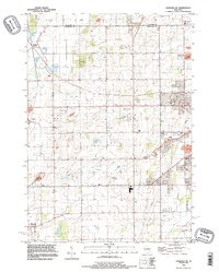 1992 Oshkosh NE1996 Print · USGSWinnebago County in the early nineties shows a landscape of rail-connected hamlets and growing aviation hubs northwest of Lake Winnebago. Researchers can trace the Soo Line through Medina Junction and find local landmarks like Larsen and Allenville.
 - 2010 Map of Appleton, 2010 Print
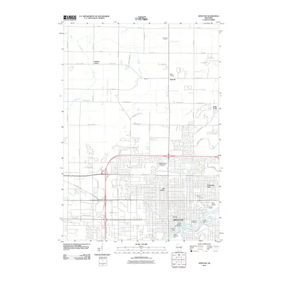 2010 Appleton2010 Print · USGSAppleton's urban layout and the industrial Fox River corridor are shown here in the years before the 2010s. Trace the city's growth from Lawrence University out to rural landmarks like Hamples Corner and Saint Joseph Cemetery.
 - 2010 Map of Neenah, 2010 Print
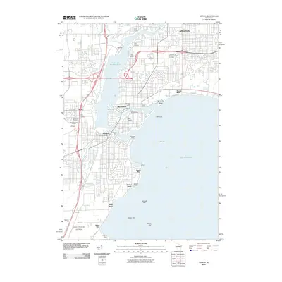 2010 Neenah2010 Print · USGSThe Fox River Valley's industrial heart is captured here during a period of modern expansion for NEENAH and MENASHA. Genealogists and historians can trace cemetery locations like Saint Johns Cemetery or locate landmarks such as the Menasha Genlaws Dam and Doty Island.
 - 2010 Map of Oshkosh NE, 2010 Print
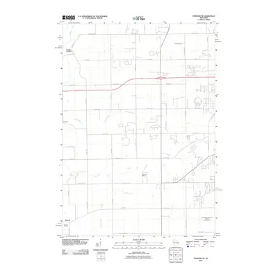 2010 Oshkosh NE2010 Print · USGSWinnebago County in the early twenty-first century shows a landscape where rural crossroads like Larsen and Allenville meet expanding residential developments. Genealogists and local historians can trace family locations near the Allenville Cemetery or locate smaller aviation landmarks like Brennand Airport.
 - 2010 Map of Greenville, 2010 Print
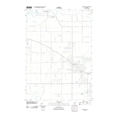 2010 Greenville2010 Print · USGSGreenville and Outagamie County are shown here in the first decade of the 21st century as aviation and suburban growth shaped the rural landscape. Researchers can locate family sites at Saint Patricks Cemetery and trace the paths of the Wolf River or Rat River.
 - 2013 Map of Appleton, 2013 Print
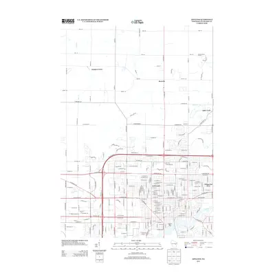 2013 Appleton2013 Print · USGSThe northern expansion of the Fox Cities is captured in the early 2010s, showing the blend of urban development and rural homesteads. Researchers can trace local landmarks like Schabo's Hillside Orchard, Mackville, and the Appleton Water Works near the Fox River.
 - 2013 Map of Oshkosh NE, 2013 Print
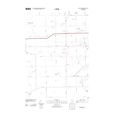 2013 Oshkosh NE2013 Print · USGSWinnebago County in the early twenty-first century reveals a landscape of historic railroad junctions and evolving aviation hubs. Genealogists and local historians can trace family-named roads and settlements like Medina Junction, Larsen, and the uniquely titled With Wings and a Halo Airport.
 - 2013 Map of Greenville, 2013 Print
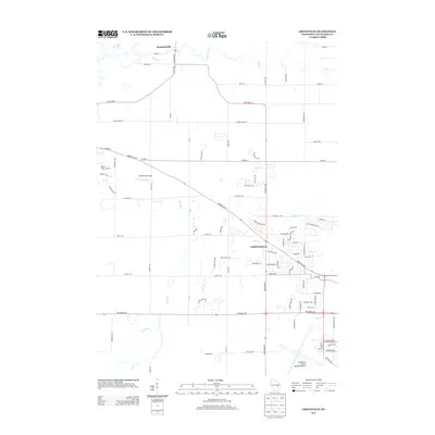 2013 Greenville2013 Print · USGSGreenville and its surrounding township are captured here during a period of transition in the early 2010s. Researchers can trace local aviation history at Rocket City Airport or follow the meandering course of the Rat River and Wolf River.
 - 2013 Map of Neenah, 2013 Print
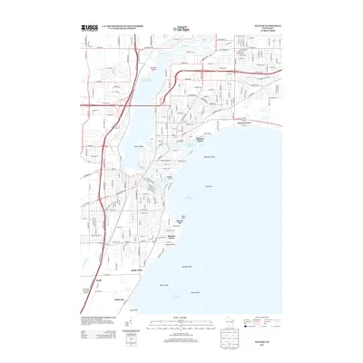 2013 Neenah2013 Print · USGSThe Fox River valley in the early 2010s shows a sophisticated network of island communities and lakefront developments. Researchers can trace the unique geography of Doty Island, the facilities at Menasha Water Works, and the shoreline of Lake Winnebago.
 - 2016 Map of Oshkosh NE, 2016 Print
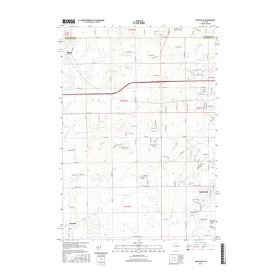 2016 Oshkosh NE2016 Print · USGSWinnebago and Outagamie counties meet in this 2016 survey of the Fox Valley, where historic crossroads and modern aviation intersect. Researchers can trace local lineage at Allenville and its Allenville Cem or locate private airfields like Brennand Airport.
 - 2016 Map of Greenville, 2016 Print
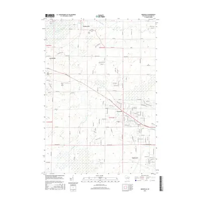 2016 Greenville2016 Print · USGSGreenville and its surrounding townships show a mix of expanding residential neighborhoods and rural heritage in the twenty-first century. Researchers can trace family history at Saint Patricks Cem or explore the aviation landscape near Outagamie County Regional Airport.
Showing maps 1-25 of 35
Top cities near Greenville
- Appleton historical maps
- Oshkosh historical maps
- Neenah historical maps
- Grand Chute historical maps
- Fox Crossing historical maps
- Menasha historical maps
See more
Frequently asked questions
- What are the different types of historical maps available for Greenville?
- What is the oldest map of Greenville?
- Where can I purchase historical maps of Greenville for my home or office?
- Where can I download high-res historical maps of Greenville?
- Are there historical topographic maps available for Greenville?
- Is there historical aerial imagery available for Greenville?
- Where are historical maps of Greenville sourced from?