Old Maps of Shiocton, Wisconsin for Academic Research
Study the evolution of Shiocton with 10 high-resolution historic maps. Whether you're teaching, researching, or modeling changes in land use, these maps provide essential visual documentation of urban, environmental, and geographic change.
- Analyze long-term change: Track patterns in development, transportation, and natural features.
- Ideal for environmental or urban studies: Support academic projects with primary historical map data.
- Use in the classroom or lab: Educators and researchers rely on these maps to bring historical context to life.
These maps are a powerful tool for teaching, research, and visualizing how Shiocton has changed over the decades.
Shiocton, WI maps
(10)- 1955 Map of Green Bay, 1968 Print
 1955 Green Bay1968 Print · USGSCentral and Eastern Wisconsin are captured here in the mid-fifties, showing the industrial growth of the Fox Valley and Wisconsin River corridors. Genealogists and historians can trace rail lines like the Green Bay and Western through settlements like Weyauwega, Clintonville, and Pulaski.2 unique versions available
 - 1956 Map of New London, 1958 Print
 1956 New London1958 Print · USGSWisconsin's Fox Valley region in the mid-fifties shows a landscape of river-town commerce and deep rural roots. Genealogists can trace family sites at Wanderers Rest Cem or locate the many country schools like Golden Hill Sch and Hickory Grove Sch.
 - 1969 Map of Shiocton, 1972 Print
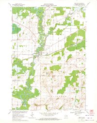 1969 Shiocton1972 Print · USGSWisconsin's Fox Valley region in the late sixties reveals a landscape shaped by the winding Wolf River and the Green Bay and Western railroad. Genealogists and local historians can trace family connections at Bovina Cem or locate old homesteads along Mayflower Drive and Kirschner Road.2 unique versions available
 - 1984 Map of Appleton, 1985 Print
 1984 Appleton1985 Print · USGSThe Fox River Valley in the mid-eighties shows a bustling corridor of industry and nature, from the shores of Lake Winnebago to the Oneida Indian Reservation. Trace local heritage through landmarks like Riverside Cem or explore the wetlands of Poygan Marsh State Wildlife Area.2 unique versions available
 - 1992 Map of Shiocton, 1996 Print
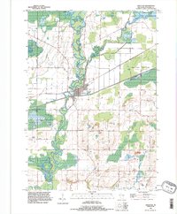 1992 Shiocton1996 Print · USGSShiocton sits at a prominent bend in the Wolf River during the late twentieth century, surrounded by extensive wildlife areas and winding waterways. Genealogists and researchers can locate family-named landmarks like Rexford Cem, Bovina Gem, and Pluger Road.
 - 2010 Map of Shiocton, 2010 Print
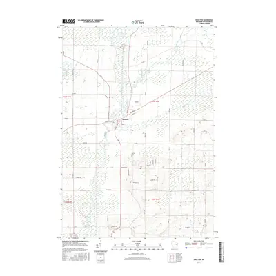
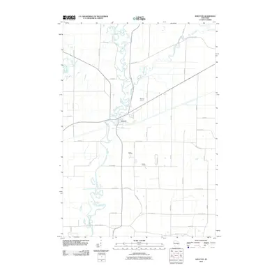 2010 Shiocton2010 Print · USGSCovers Shiocton, including Ellington, Bovina, and other nearby areas
 - 2013 Map of Shiocton, 2013 Print
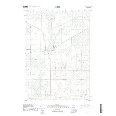
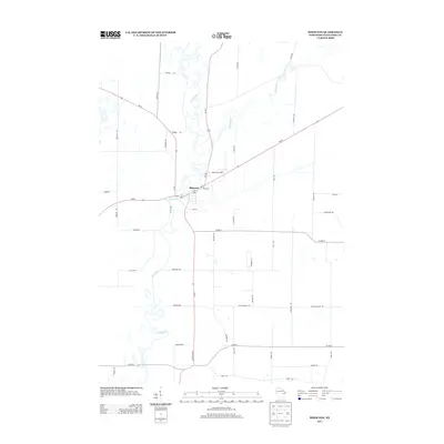 2013 Shiocton2013 Print · USGSCovers Shiocton, including Ellington, Bovina, and other nearby areas
 - 2016 Map of Shiocton, 2016 Print
 2016 Shiocton2016 Print · USGSCovers Shiocton, including Ellington, Bovina, and other nearby areas
 - 2018 Map of Shiocton, 2018 Print
 2018 Shiocton2018 Print · USGSCovers Shiocton, including Ellington, Bovina, and other nearby areas
 - 2022 Map of Shiocton, 2022 Print
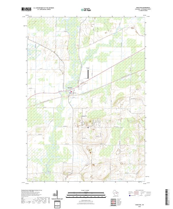 2022 Shiocton2022 Print · USGSWisconsin's Fox Valley region is showcased here in the early 2020s, centered on the riverfront village of Shiocton. Local researchers can trace the course of the Wolf River and locate historic burial grounds like Rexford Cem or follow the Newton Blackmour State Trl through the countryside.
End of results
Showing maps 1-10 of 10
Top cities near Shiocton
- Appleton historical maps
- Grand Chute historical maps
- Fox Crossing historical maps
- Menasha historical maps
- Little Chute historical maps
- Greenville historical maps
See more
Frequently asked questions
- What are the different types of historical maps available for Shiocton?
- What is the oldest map of Shiocton?
- Where can I purchase historical maps of Shiocton for my home or office?
- Where can I download high-res historical maps of Shiocton?
- Are there historical topographic maps available for Shiocton?
- Is there historical aerial imagery available for Shiocton?
- Where are historical maps of Shiocton sourced from?