2000s (21st Century) Maps of Cedarburg, Wisconsin
Explore 10 historic maps of Cedarburg from the 2000s (21st Century). These maps offer a rare glimpse into what life looked like during the 2000s — showing old roads, neighborhoods, homes, and landmarks that have changed or disappeared over time.
Whether you're researching your family's past, planning a metal detecting trip, or studying how Cedarburg's landscape evolved across the 2000s, these high-resolution maps are a powerful tool for exploring the history of this region.
- Focus on a specific era: All maps on this page are from the 2000s, giving you a focused view of this time period.
- See what’s changed: Compare century-old streets, trails, and buildings to today's modern landscape using overlays and satellite layers.
- Research with precision: Use these maps for genealogy, historical research, land use analysis, or educational projects.
- View, download, or print: Maps are fully viewable online in high resolution, and can be downloaded or printed for your own records.
Start exploring Cedarburg's history through authentic maps from the 2000s. This is your window into the past.
Cedarburg, WI maps
(10)- 2010 Map of Cedarburg, 2010 Print
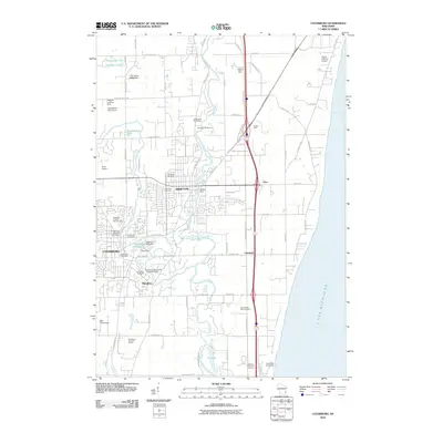 2010 Cedarburg2010 Print · USGSCovers Cedarburg, including Mequon, Grafton, and other nearby areas
 - 2010 Map of Five Corners, 2010 Print
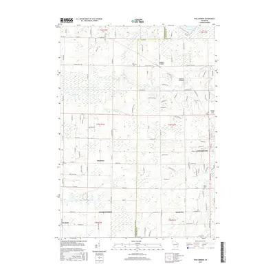
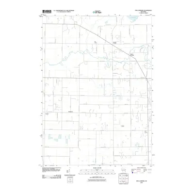 2010 Five Corners2010 Print · USGSCovers Cedarburg, including Mequon, Germantown, and other nearby areas
 - 2013 Map of Five Corners, 2013 Print
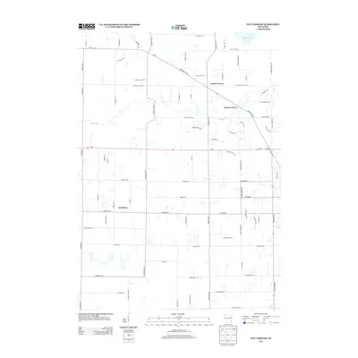 2013 Five Corners2013 Print · USGSCovers Cedarburg, including Mequon, Germantown, and other nearby areas
 - 2013 Map of Cedarburg, 2013 Print
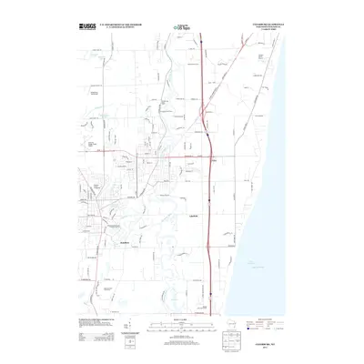 2013 Cedarburg2013 Print · USGSCovers Cedarburg, including Mequon, Grafton, and other nearby areas
 - 2015 Map of Five Corners, 2015 Print
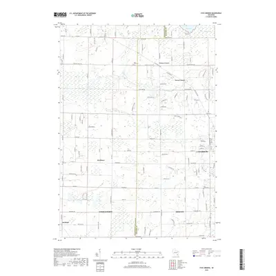
 2015 Five Corners2015 Print · USGSCovers Cedarburg, including Mequon, Germantown, and other nearby areas
 - 2016 Map of Cedarburg, 2016 Print
 2016 Cedarburg2016 Print · USGSCovers Cedarburg, including Mequon, Grafton, and other nearby areas
 - 2018 Map of Five Corners, 2018 Print
 2018 Five Corners2018 Print · USGSCovers Cedarburg, including Mequon, Germantown, and other nearby areas
 - 2018 Map of Cedarburg, 2018 Print
 2018 Cedarburg2018 Print · USGSCovers Cedarburg, including Mequon, Grafton, and other nearby areas
 - 2022 Map of Five Corners, 2022 Print
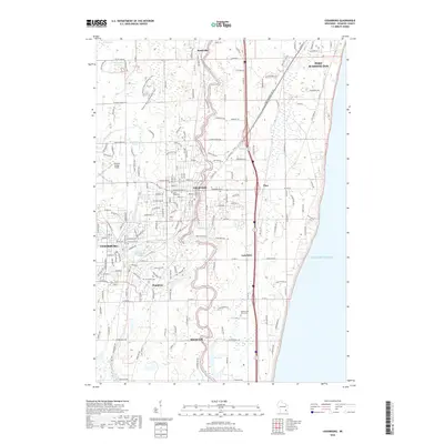
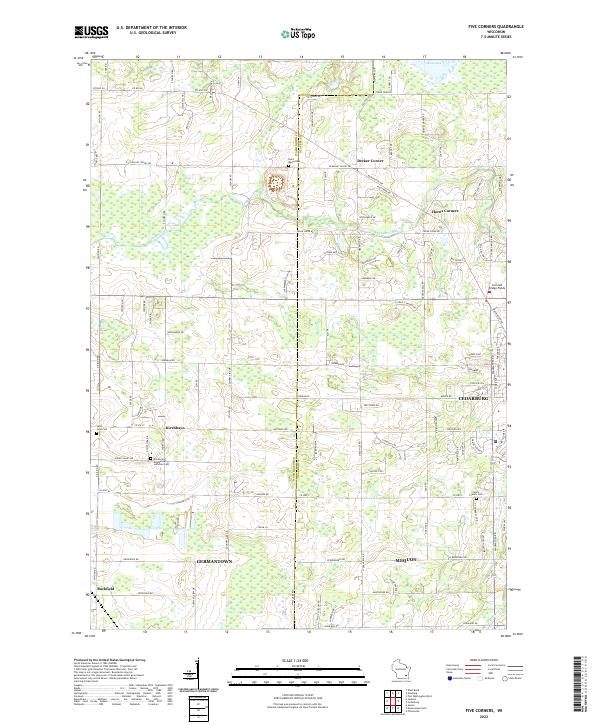 2022 Five Corners2022 Print · USGSThe Washington and Ozaukee county line area is shown in this 2022 survey, as modern growth meets historic crossroads. Trace the legacy of early settlements at Kirchhayn and find long-standing local landmarks like Saint Marys Cem and the Cedarburg Bog.
 - 2022 Map of Cedarburg, 2022 Print
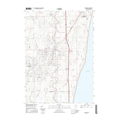
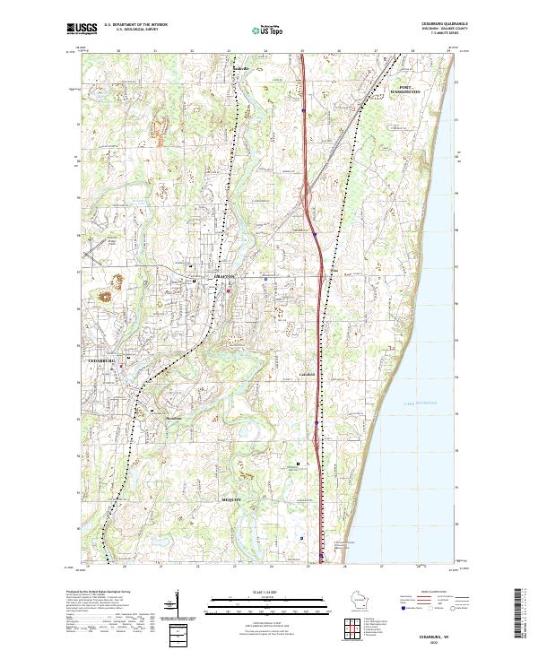 2022 Cedarburg2022 Print · USGSOzaukee County’s lakeside communities and river valleys are shown here in the early twenty-first century. Researchers can trace family sites at Old Settlers Rest Cemetery or explore the preserved terrain of the Cedarburg Bog and Covered Bridge Fields.
End of results
Showing maps 1-10 of 10
Top cities near Cedarburg
- Milwaukee historical maps
- Wauwatosa historical maps
- Brookfield historical maps
- Menomonee Falls historical maps
- West Bend historical maps
- Mequon historical maps
See more
Top neighborhoods of Cedarburg
- Decker Corner historical maps
- Horns Corners historical maps
- Hamilton historical maps
- Hidden Valley Lake historical maps
Frequently asked questions
- What are the different types of historical maps available for Cedarburg?
- What is the oldest map of Cedarburg?
- Where can I purchase historical maps of Cedarburg for my home or office?
- Where can I download high-res historical maps of Cedarburg?
- Are there historical topographic maps available for Cedarburg?
- Is there historical aerial imagery available for Cedarburg?
- Where are historical maps of Cedarburg sourced from?